

Customer References & Tenders

Experience across forests, landscapes, and borders
From awarded tenders to customer projects, Arbonaut’s global footprint demonstrates where our geospatial expertise has been trusted and applied across forestry and environmental initiatives. Our forest assessment capabilities, combined with advanced technological and biological know-how, have supported stronger and more resilient forest landscapes worldwide.
Serving private and public sectors globally
250+ forestry and geodata projects delivered
150+ awarded tenders and grants completed

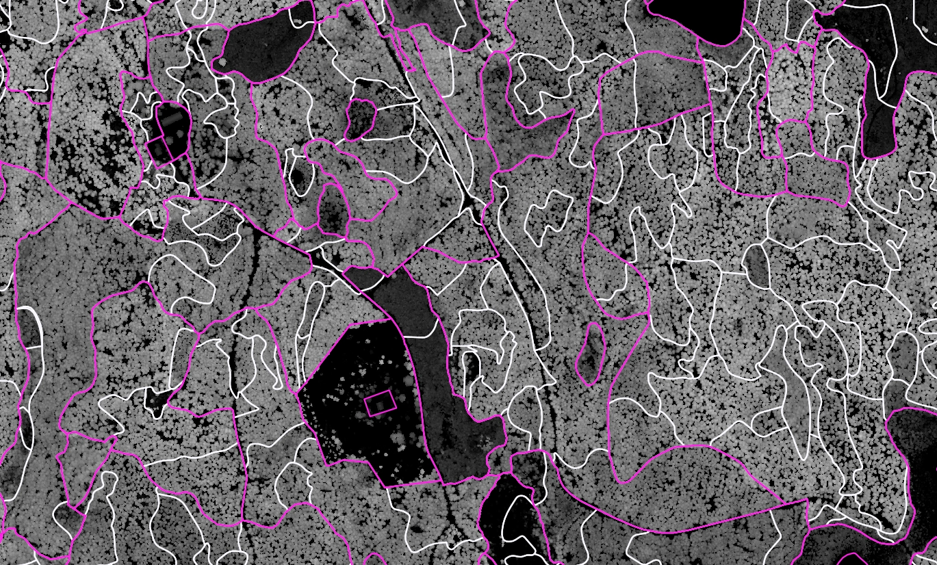
HiCONNECTS: Demonstrating Real-Time Wildfire Intelligence Through Edge Computing, Drones and Geospatial Data Integration
Ongoing
HiCONNECTS
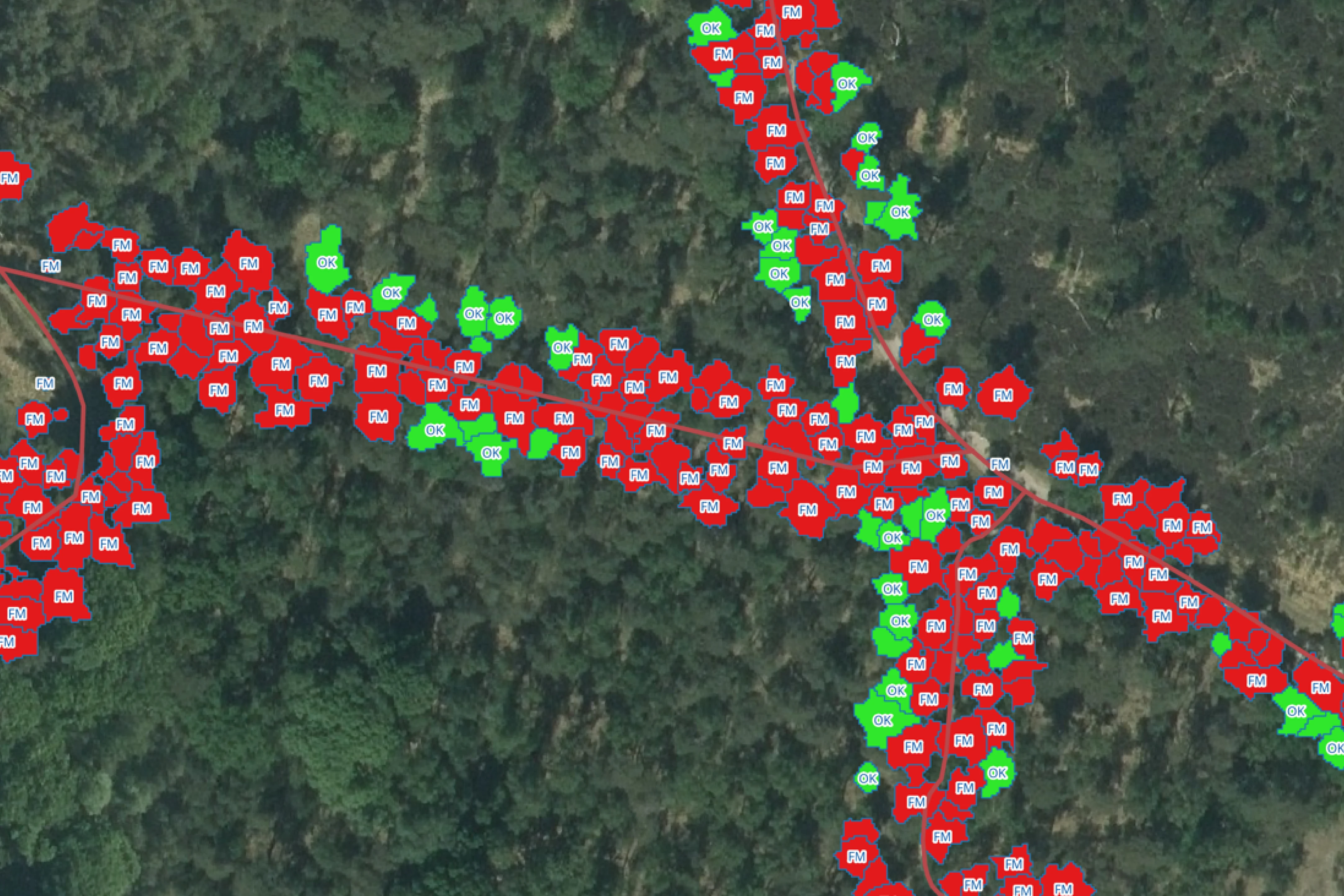
WI4EURECA: Delivering Climate Intelligence, Wildfire Risk Mapping and Environmental Monitoring Across Europe
2026
PCP WISE

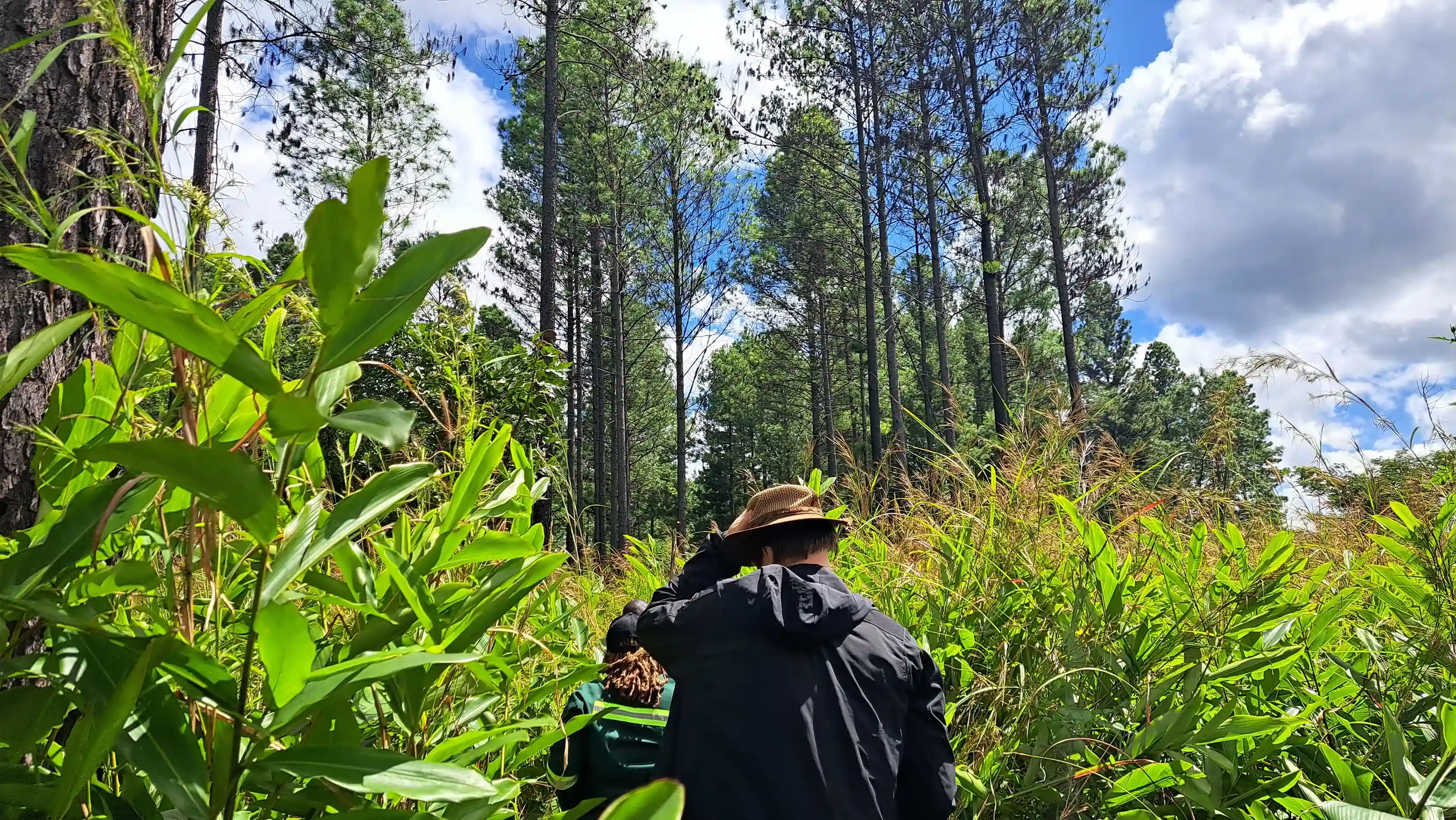
Comprehensive Plantation Inventory of 54,000+ hectares
2021-ongoing
Zambia Forestry and Forest Industries Corporation (ZAFFICO) PLC
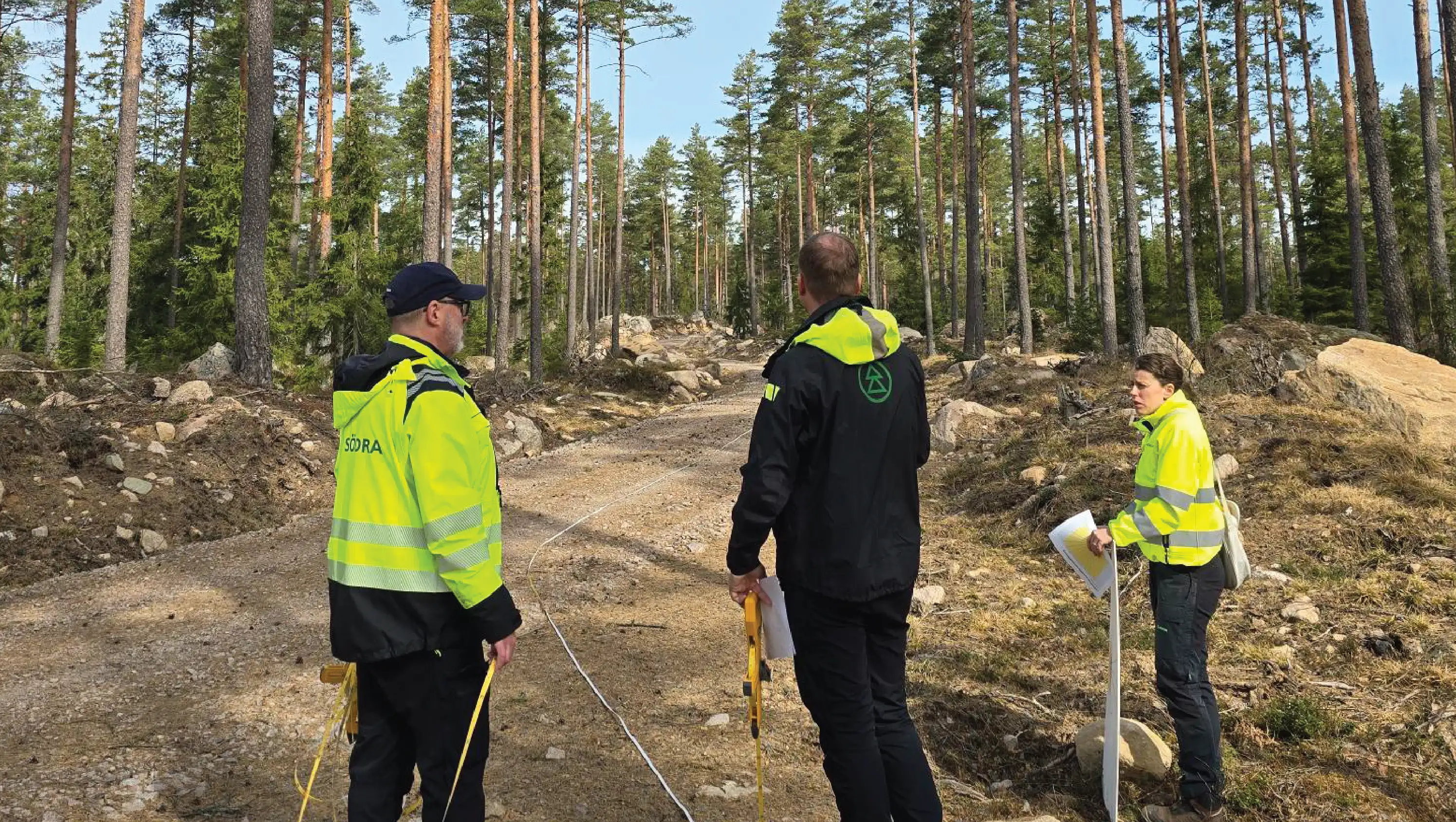
The NordicForestry Project
2025-2027
European Regional Development Fund, Interreg Aurora

Facing a similar challenge?
Every project is different. Arbonaut can work with you to find the right approach for your priorities.


 Cookie Policy