

High‑Accuracy Deadwood Mapping
Make informed decisions with precise insights into tree mortality, forest health, and biodiversity conditions.

Reliable Detection of Deadwood at Scale
Deadwood signals both ecological value and potential operational risks before they are visible in the field by revealing tree stress and ecosystem changes. Arbonaut’s precise mapping of deadwood trees and clusters improves forest planning, reduces uncertainly, and strengthens long-term forest resilience without the cost of extensive ground surveys.
>90% accuracy for detecting large dead trees
For individual and cluster dead trees
Multiple data sources for optimal results
Seamless data integration into forest management systems
Complete Deadwood Mapping Outputs
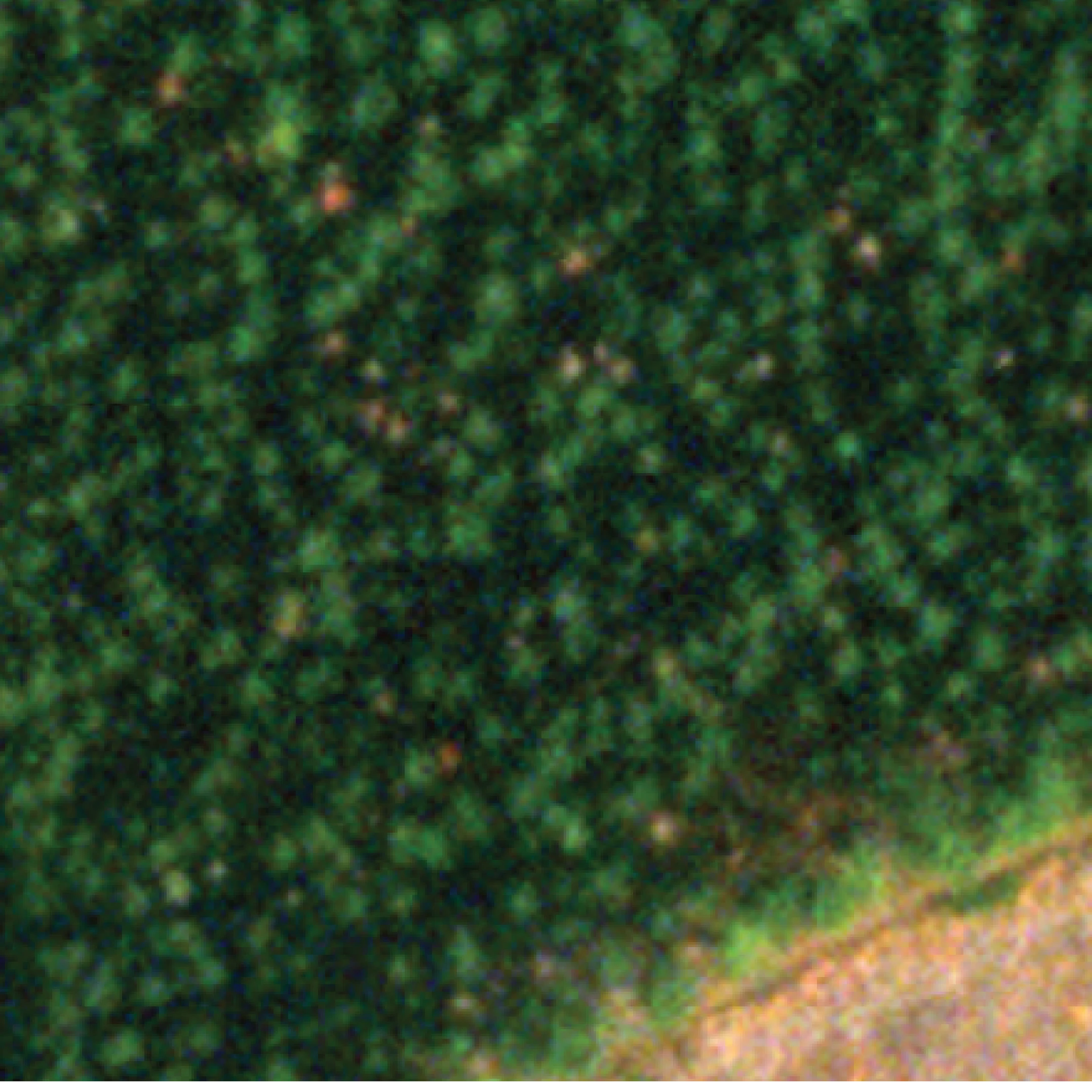
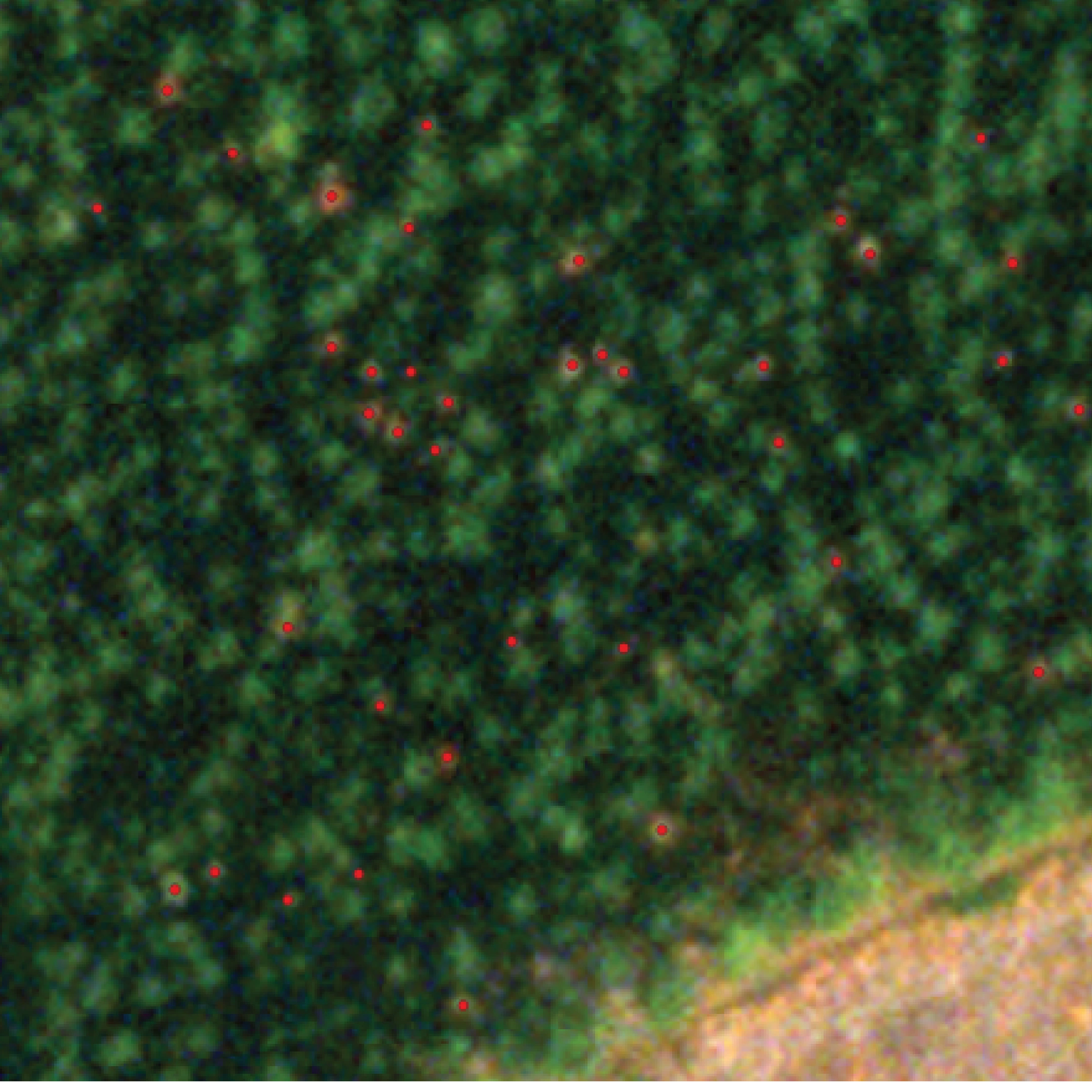
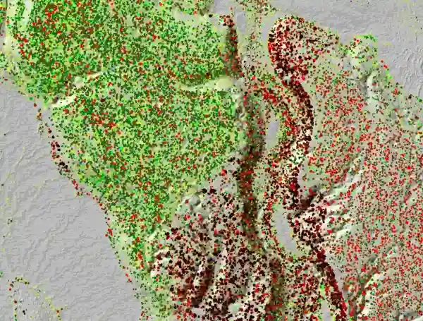
Points of dead trees
For risk control and informed decision-making.
- Target your forest management operations with exact geolocation while reducing the need for field visits
- Prioritize the operations and allocate resources to the most affected areas with precise count of dead trees
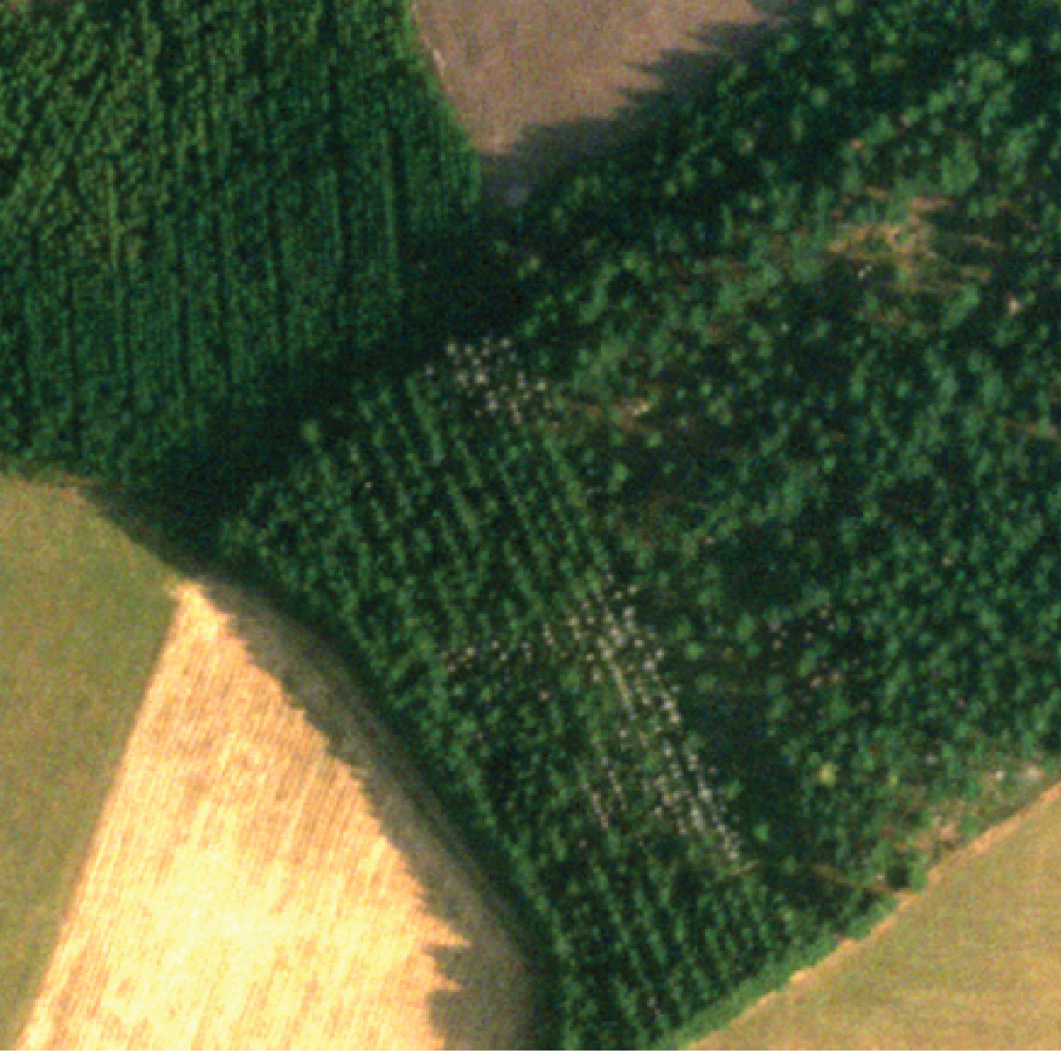
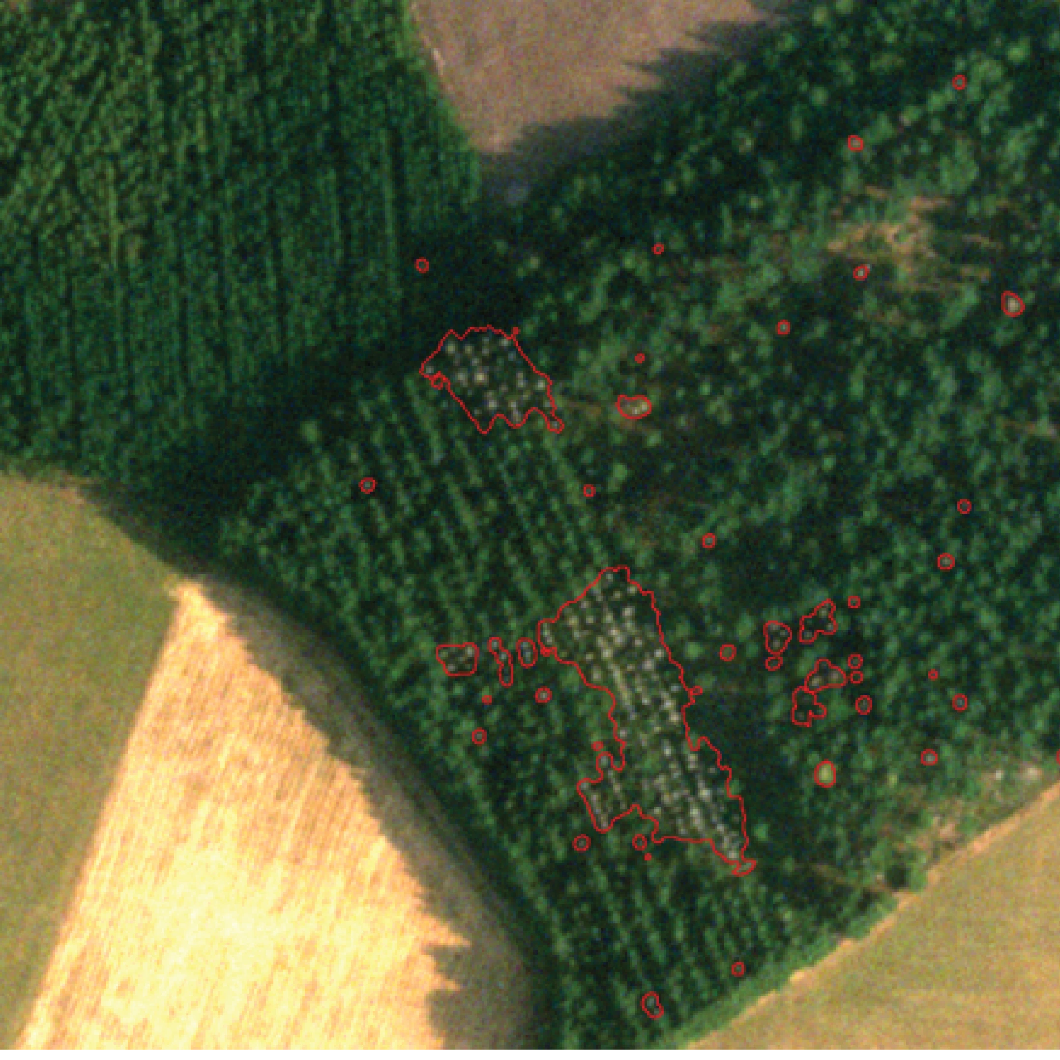
Delineated tree crowns
Separation of individual dead trees from healthy ones, allowing analysis on per-tree level and deeper understanding of deadwood structure.
- Detect risk areas and evaluate the extent of damage with severity and affected area calculations
- Estimate deadwood volume (m³/ha) for biodiversity certifications (FSC, PEFC, etc.), carbon storage and sink calculations, and assessment of economical value of dead trees
Built for Accuracy, Coverage, and Cost-Effectiveness
Arbonaut selects the optimal combination of LiDAR datasets and satellite imagery that best matches your scale, timeline, and budget
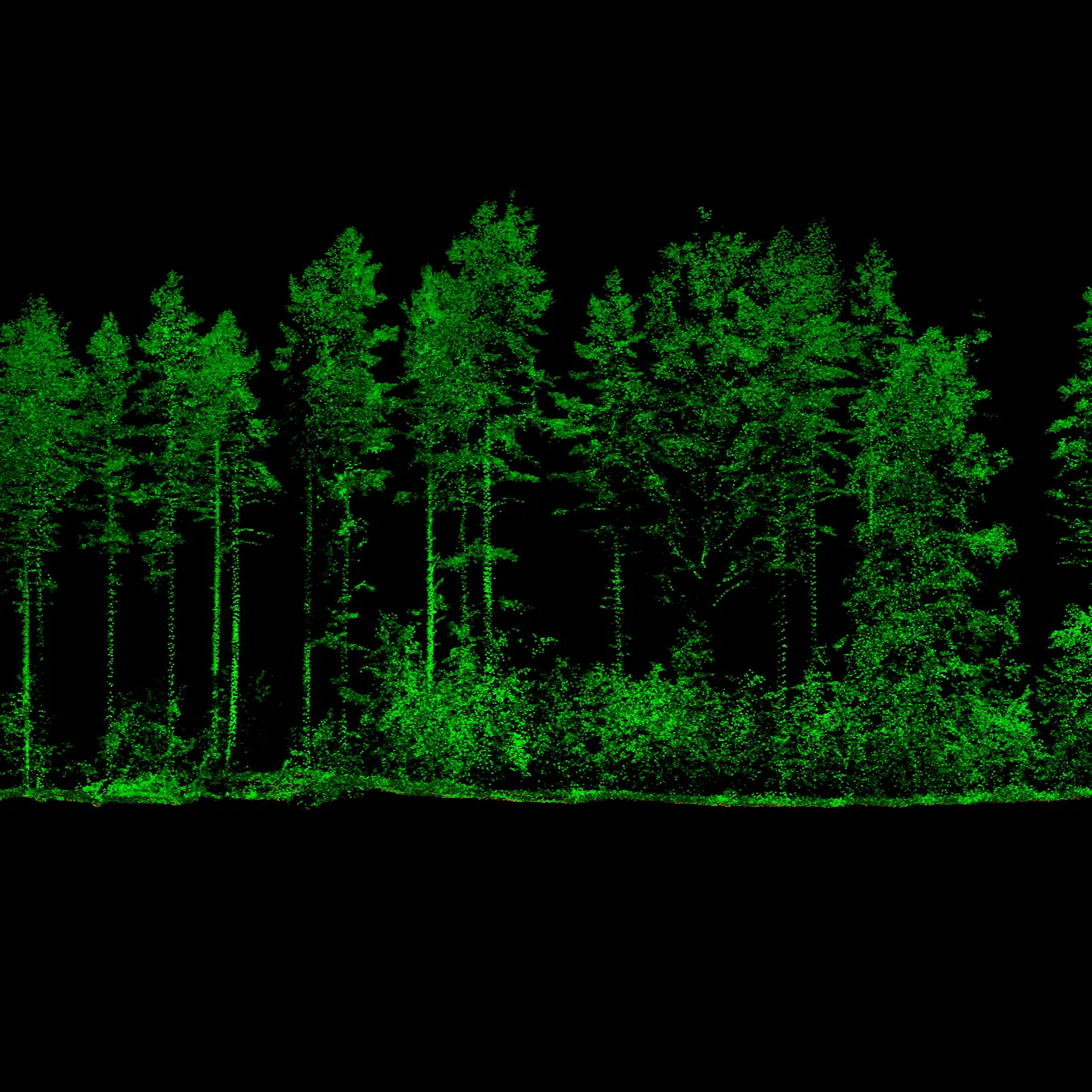
LiDAR
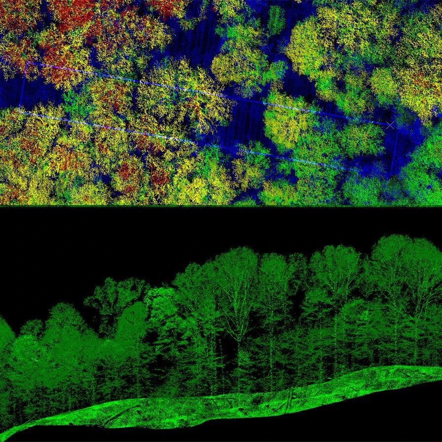
Individual dead tree detection from national datasets or high-density LiDAR acquisitions up to 1000 points/m².
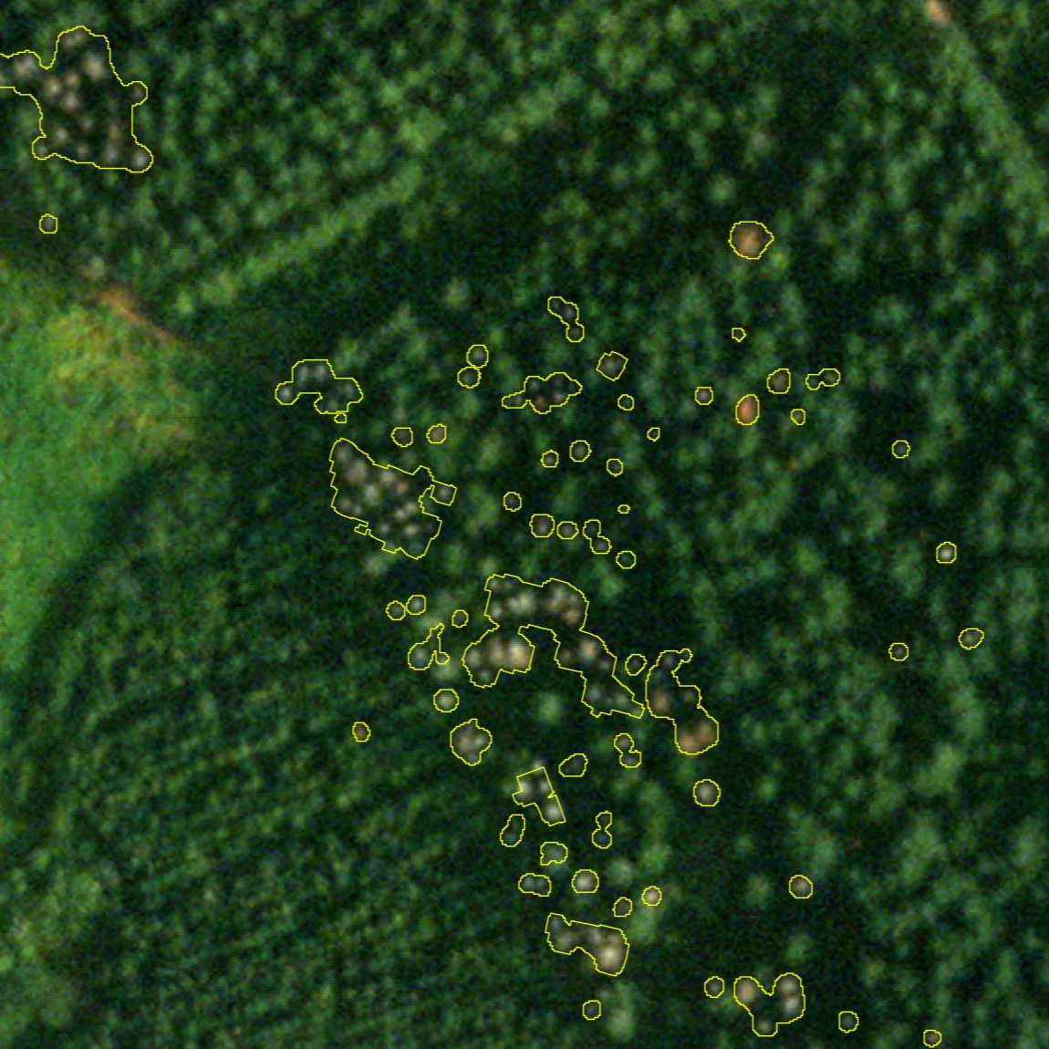
Commercial satellite imagery
Arbonaut’s AI detects both individual dead trees and dead tree groups with over 90% accuracy.

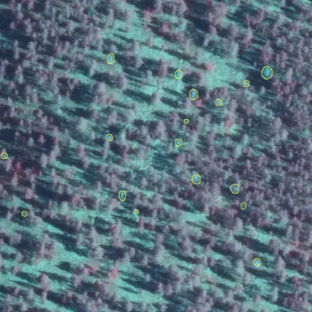
Sentinel-2
Cost‑efficient overview of large areas with significant forest damage.
Get A Clear Picture of Forest Mortality
See exactly what is happening on the ground before it affects asset value, forest planning, and operations.
Frequently Asked Questions
Yes. Deadwood mapping is also available as a standalone service and does not require a full forest inventory.
With high-resolution commercial satellite imagery, results can typically be delivered in under one month. Timelines vary by area size and data source.
Deadwood is a critical habitat element for hundreds of red listed species, making it a key indicator in many certification and monitoring frameworks. Quantified deadwood volumes, locations, and patterns provide clear evidence for compliance reporting.
With mapped locations and severity levels, operational teams can plan felling, clearing, and machinery rerouting more efficiently, along with reduction of time spent scouting the field.

 Cookie Policy