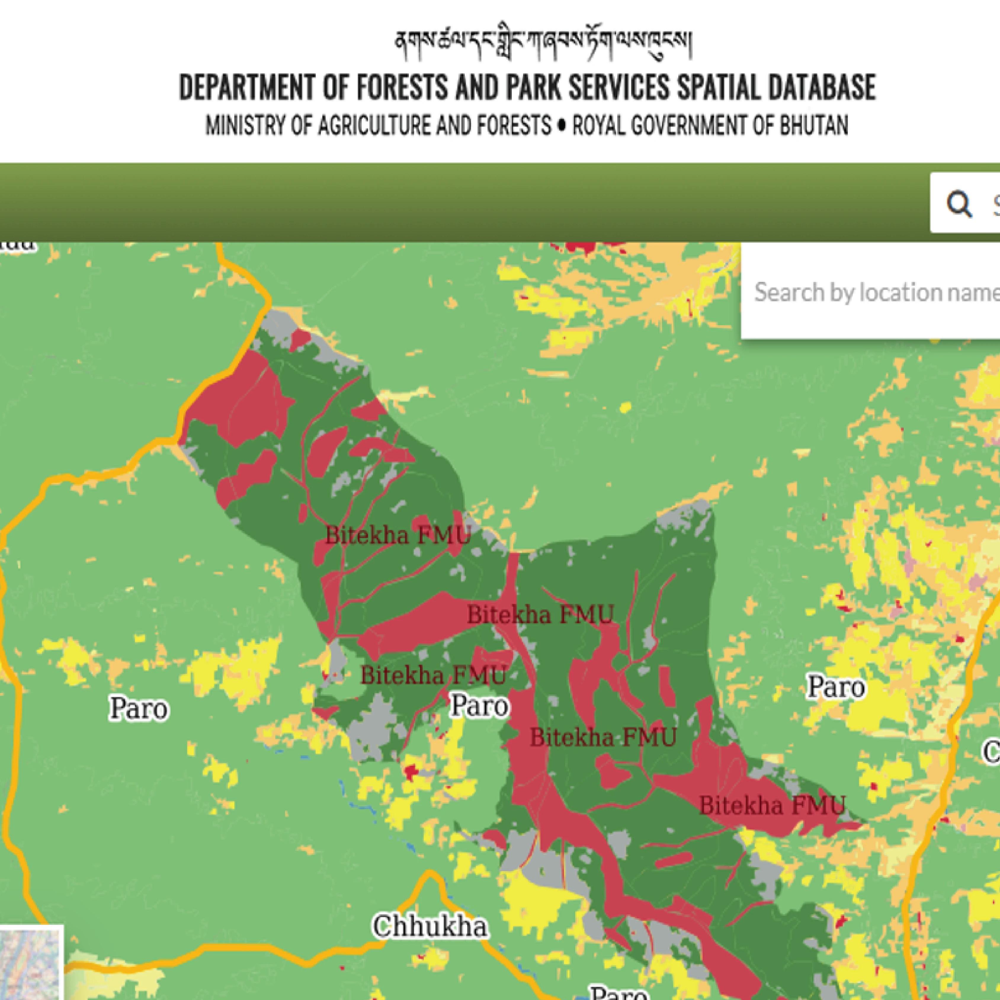
ArboAqua
Water catchment area tool for forest and environment professionals in Finland.
Dynamic, Easy-to-Use Catchment Area Analysis
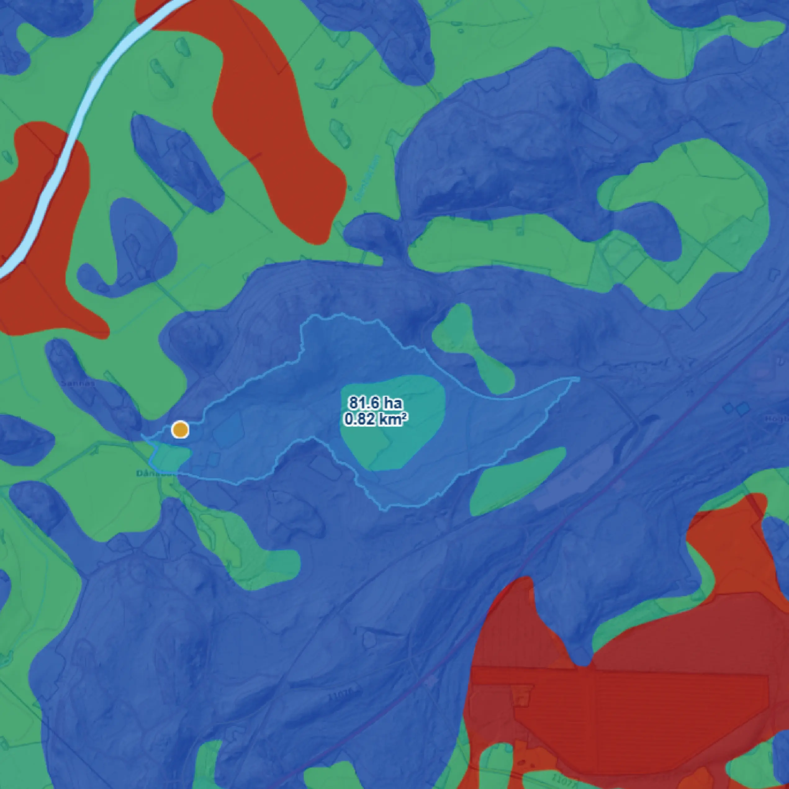
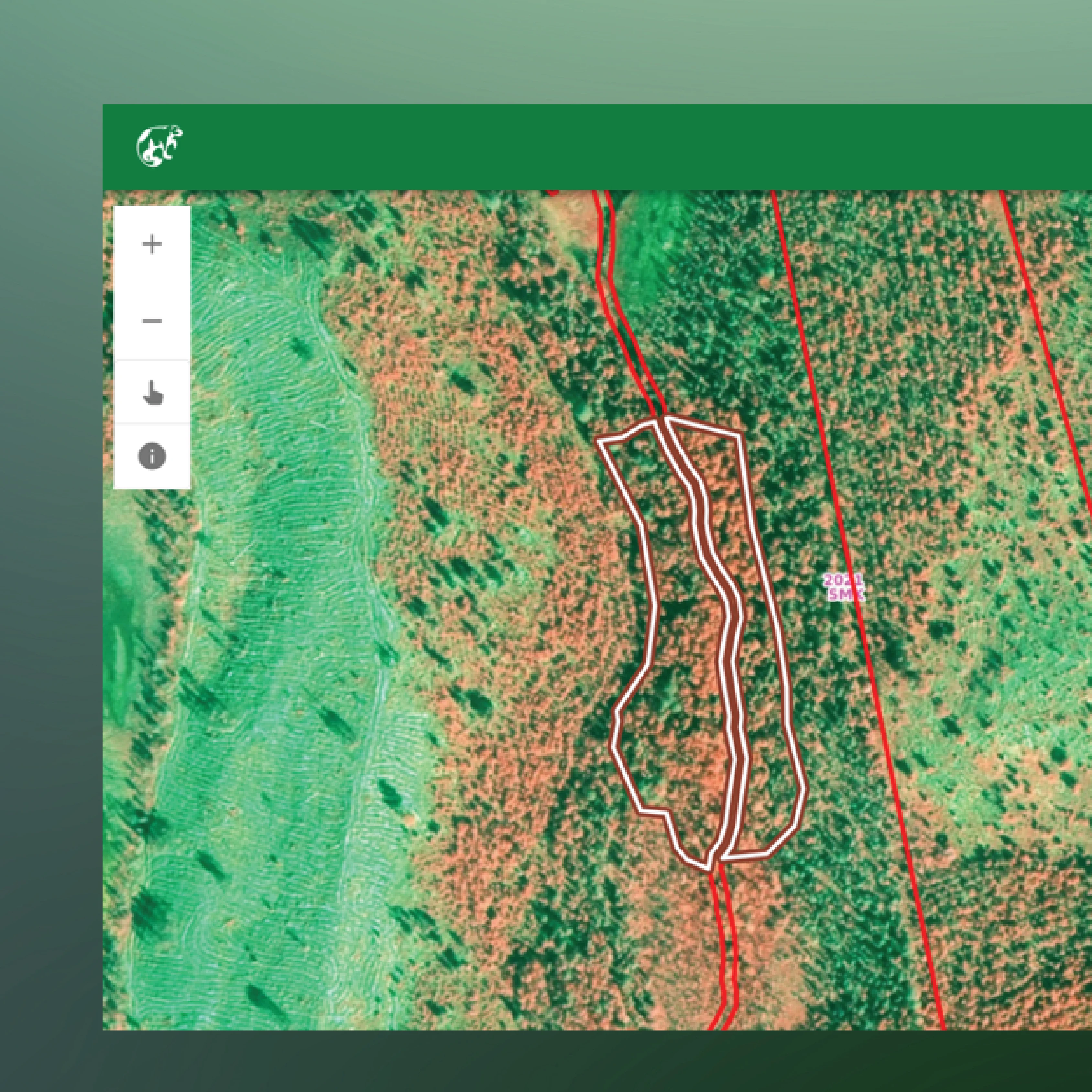
ArboAqua is a newly launched tool that enables fast and flexible catchment delineation from small areas to large regions in seconds. ArboAqua includes a water flow accumulation map that helps identify the most probable waterways and drainage structures within the area. It is particularly suited for environmental applications such as nature restoration and wetland development.
Detailed cropping with the 2-meter resolution
Analysis based on a LiDAR derived National Land Survey’s elevation model
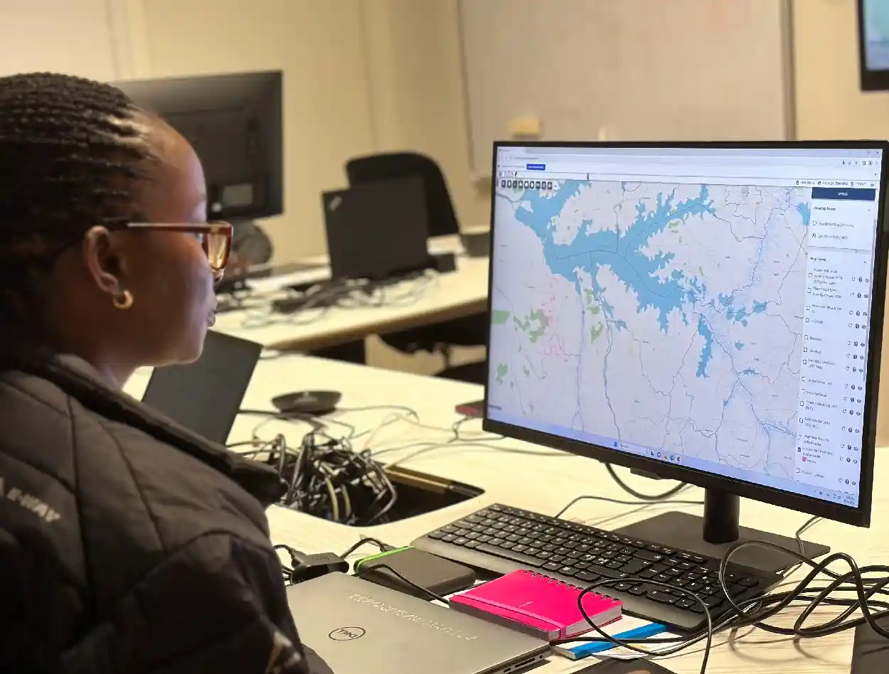
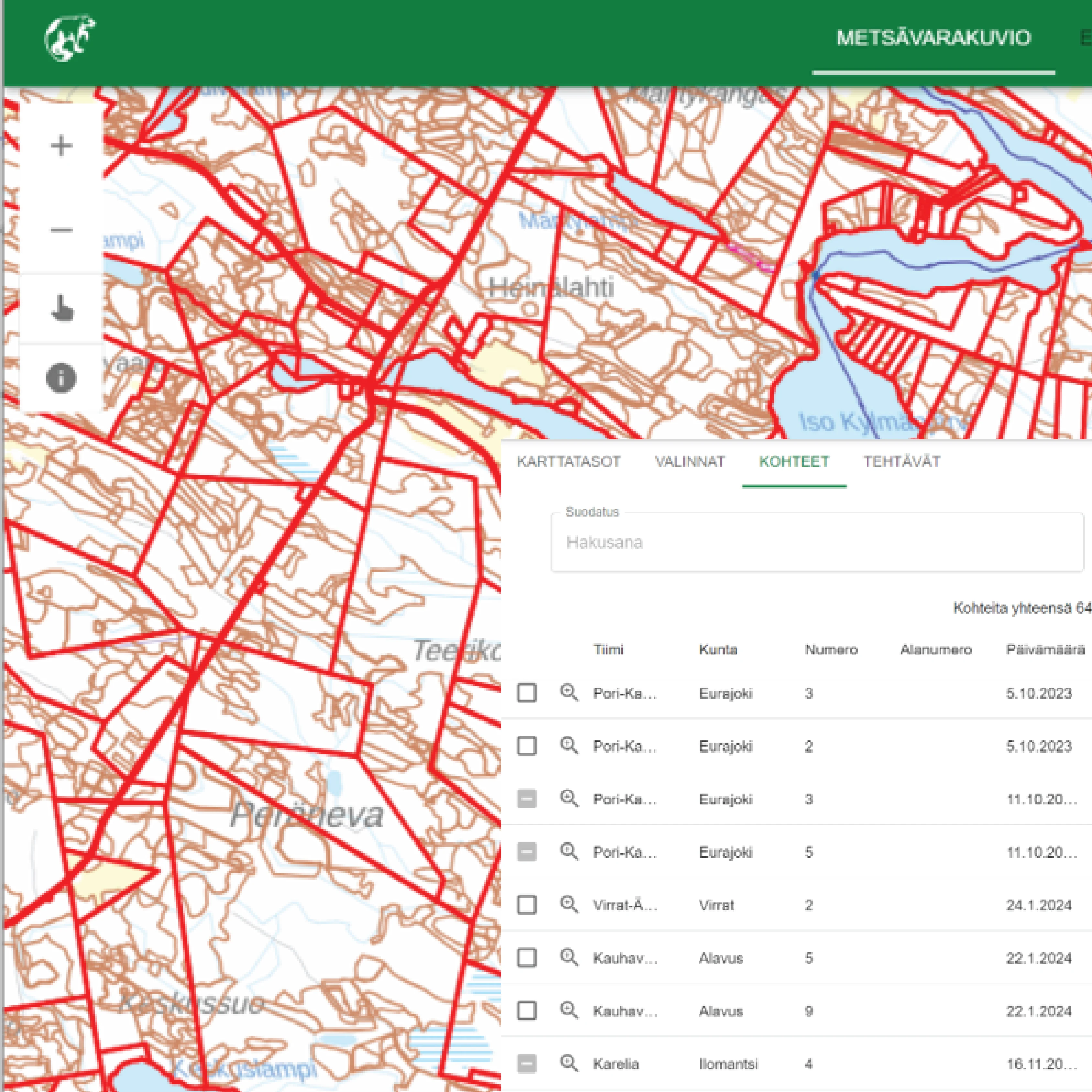
Use via the web interface
For professionals in forestry, environment or agriculture
Core Features for Your Informed Decisions
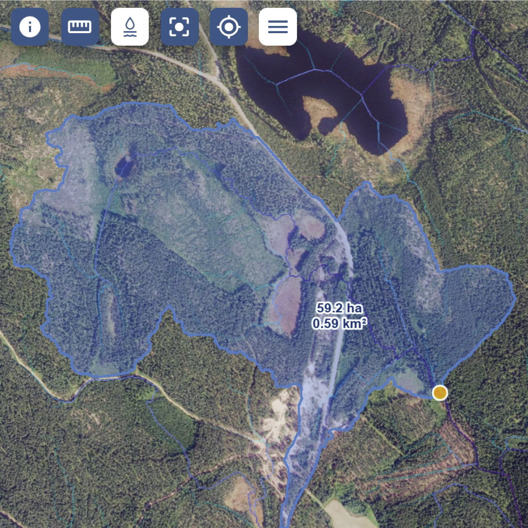
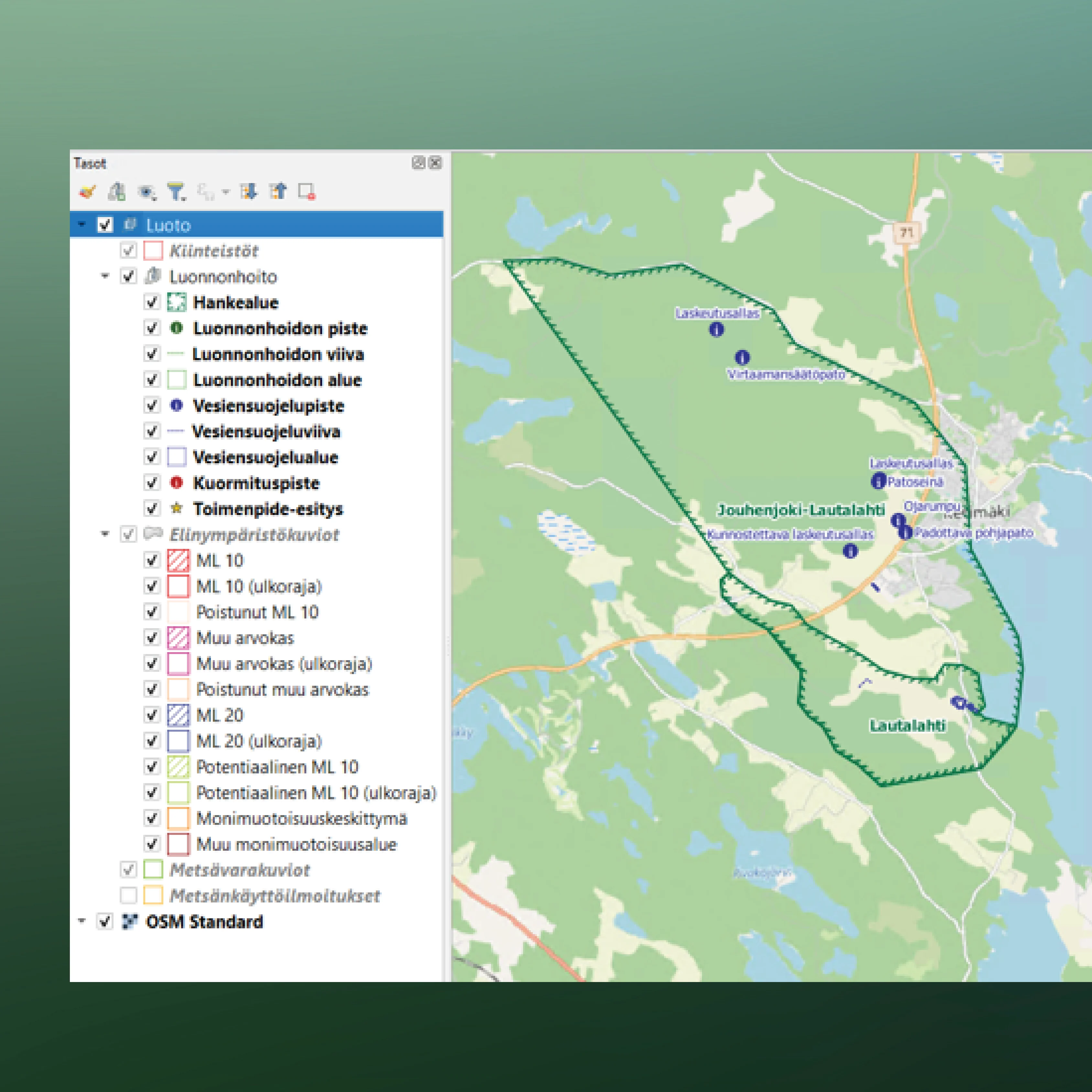
Catchment area definition
ArboAqua calculates catchment areas by modeling how water naturally flows across the landscape. The analysis accounts for terrain features and routes water from higher elevations toward downstream discharge points, producing hydrologically sound catchment boundaries.
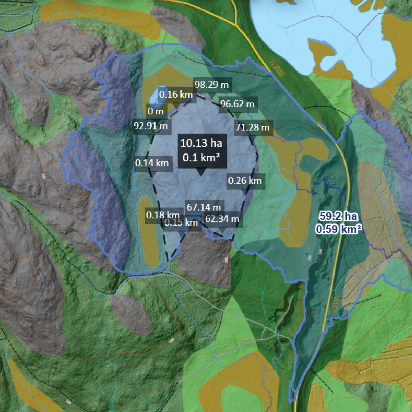
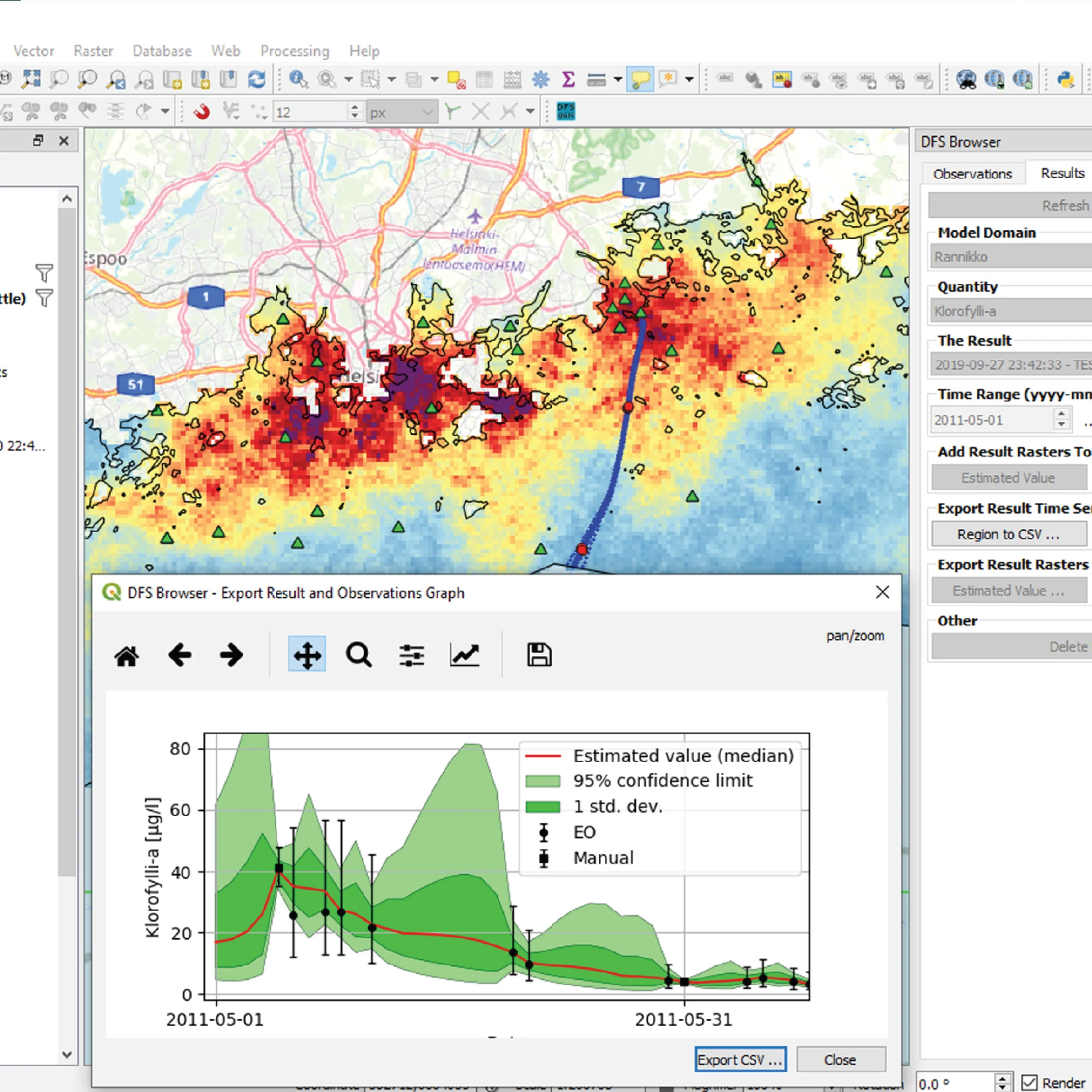
Measurement tools
ArboAqua lets you quickly check distances and areas directly on the map to support planning and assessment.
- Measure distances to understand lengths of streams, boundaries, or flow paths
- Measure areas to determine catchment size for analysis and reporting
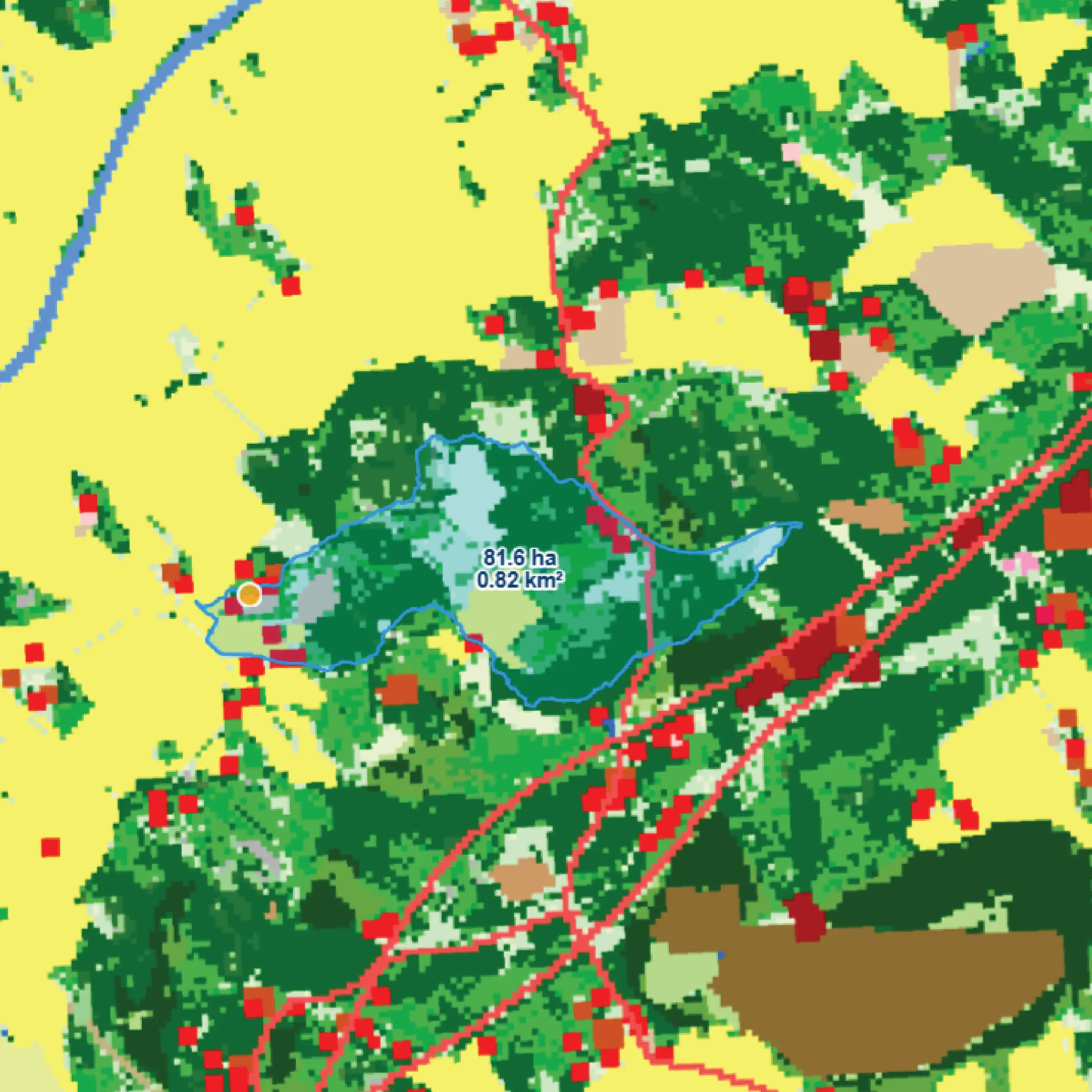
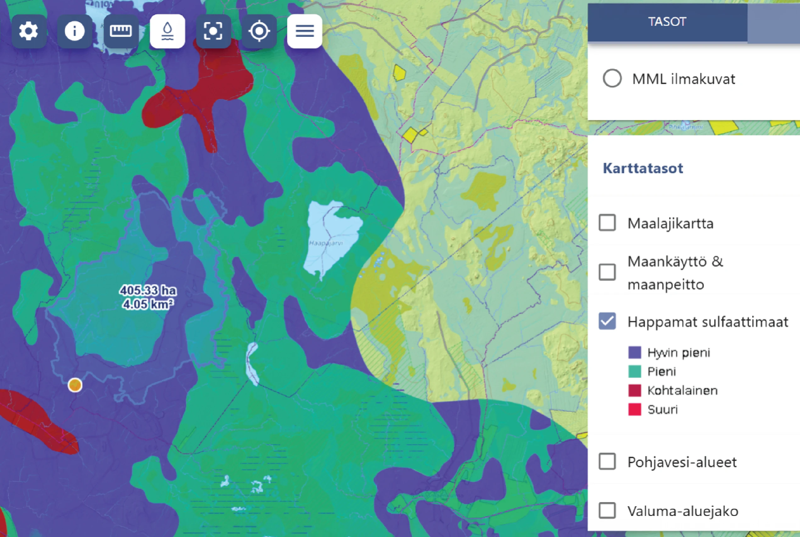
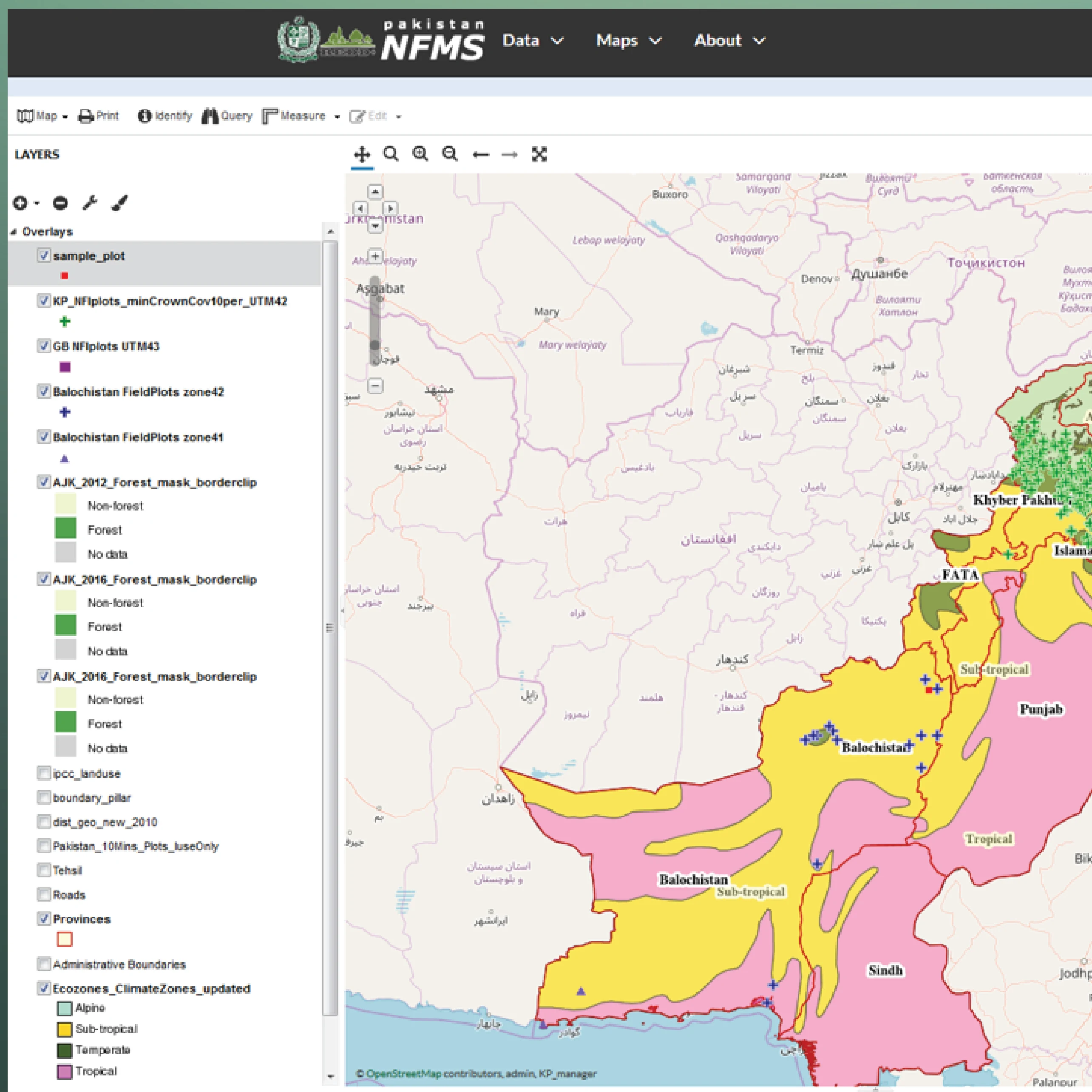
Maps and terrain layers
ArboAqua combines multiple geospatial layers to help you understand water flows. Each layer adds a different perspective for analysis.
Need catchment analysis for a small project or larger area?
Explore the tool's capabilities by testing ArboAqua for fast and flexible catchment area analysis.
Frequently Asked Questions
No. The tool is currently based on the Finland National Land Survey height model.
Yes, specifically if there is a high enough resolution Digital Terrain Model (DTM) available. Get in touch with our team to discuss your project at arboaqua@arbonaut.com.
Yes, ArboAqua uses a maximum processing window of 40x40km, which covers 16,000 hectares.
Yes. Please contact us at arboaqua@arbonaut.com.
Yes. ArboAqua currently uses a 2-meter Finland National Land Survey’s height model, but we’re capable of improving the accuracy. If you have a specific use case, please contact us at arboaqua@arbonaut.com.
Yes, ArboAqua is actively developed and continuously improved. New functionalities are planned to further enhance accuracy, performance, and user-case relevance.
We release new features and map layers regularly. Notification about releases will be published via an email if you register through our contact form and on LinkedIn.
 Cookie Policy