

Forest Inventory at Any Scale and Resolution
From large-area estimates to tree-level insights, built on one unified framework.

Forest Intelligence at the Right Level of Detail
Arbonaut provides a unified forest inventory framework that scales from area based estimates to detailed tree and crown level data. Our inventory is built on the same proven LiDAR methodology and advanced modelling, adapted to different forest structures, data availability, and decision making needs.
From 2,000 to millions of hectares
From stand-level estimates to individual trees and crowns across entire forests
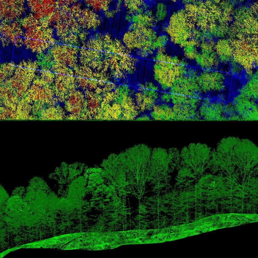
LiDAR densities ranging from 5 to over 1000 points/m² for ultra-high detail
Over 230 million hectares inventoried worldwide by Arbonaut
One Framework. Different Levels of Detail.
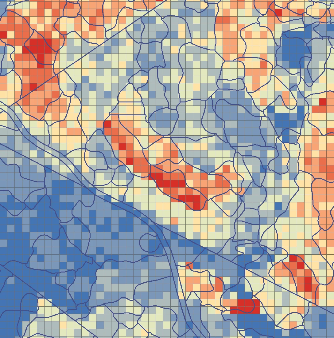
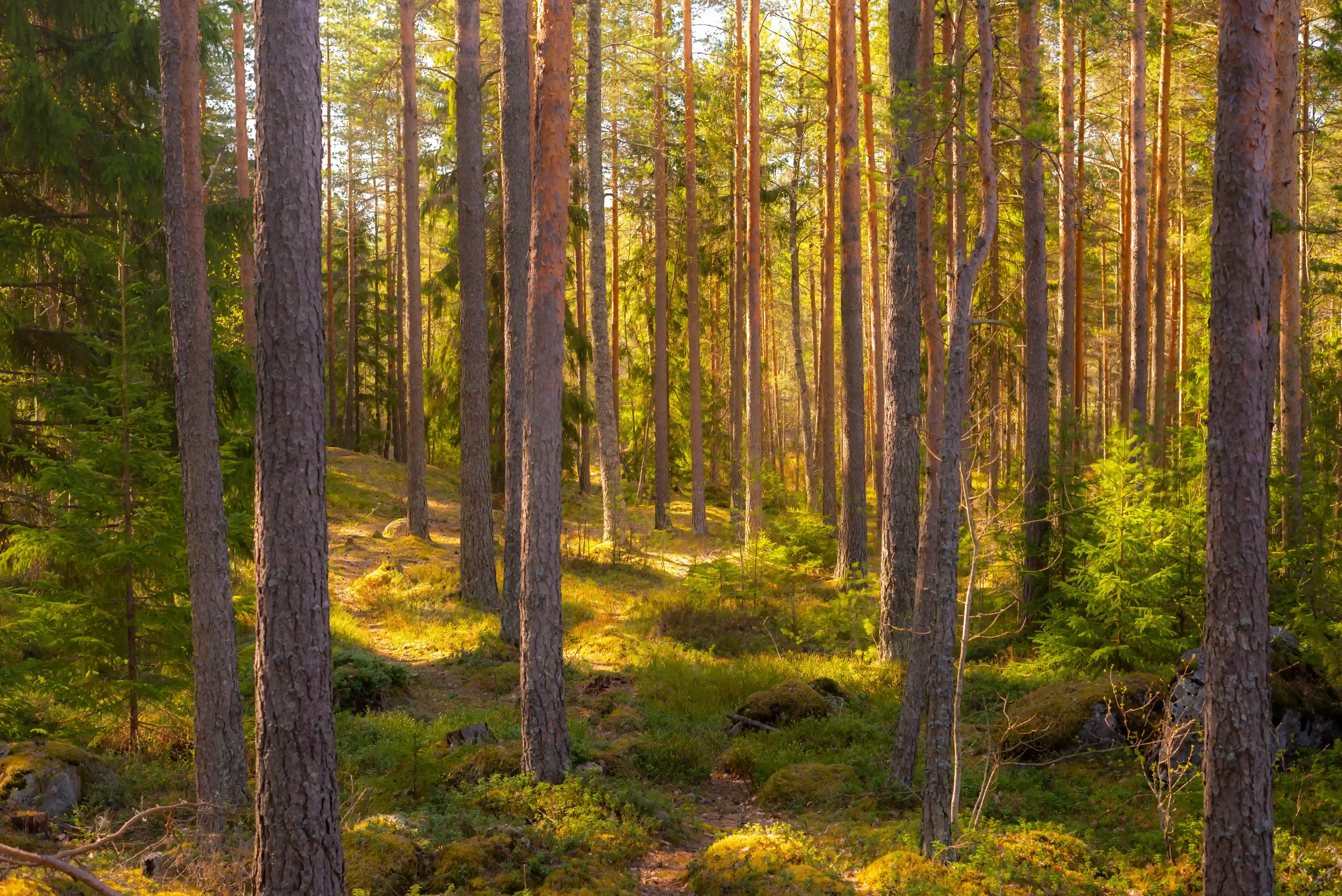
Area‑based forest inventory
- Well-suited for forests and plantations, typically for larger areas
- Stand and grid level forest attributes
- Volume, height, diameter at breast height (DBH), and species distribution
- Canopy height, density, and terrain models derived from LiDAR
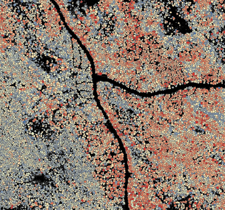
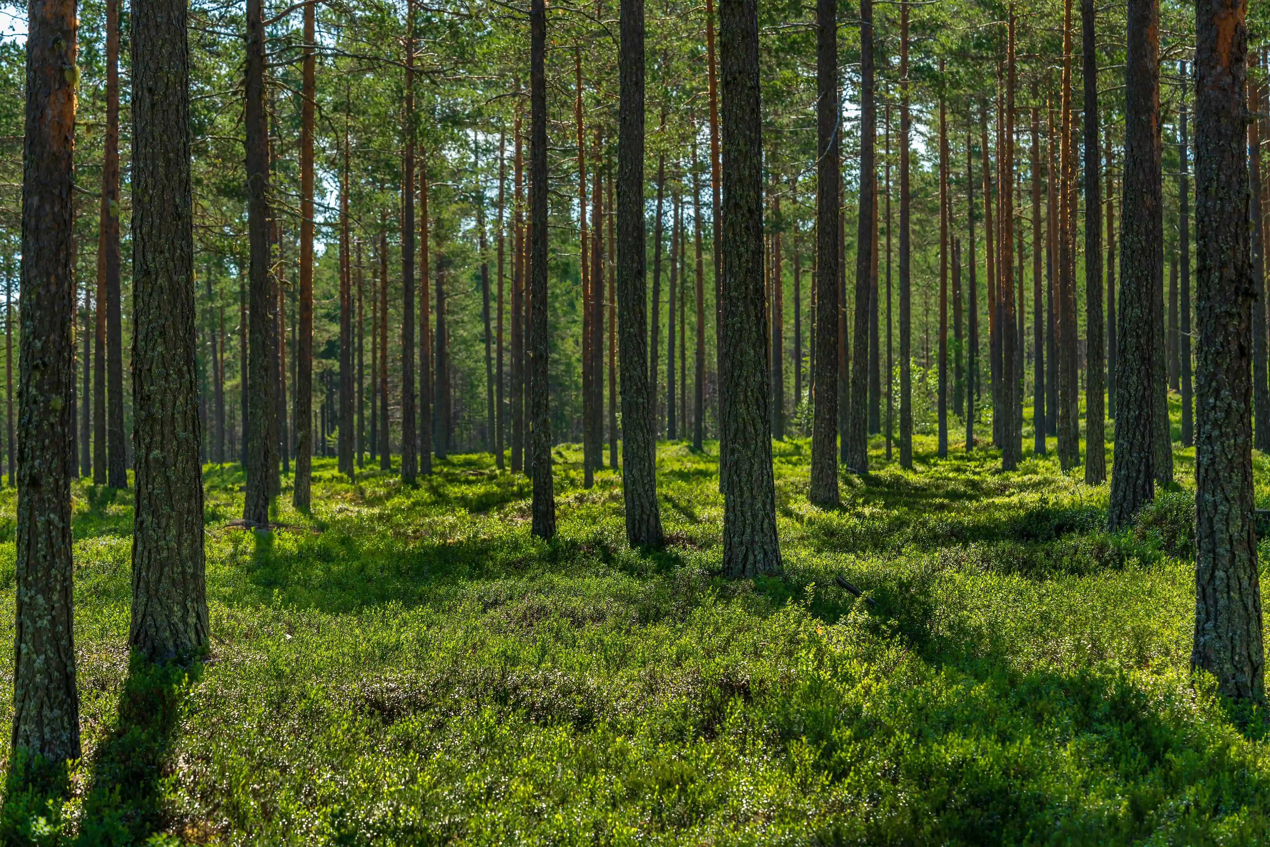
Tree‑level forest inventory
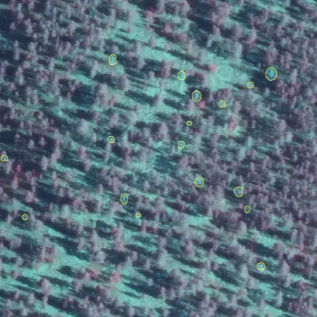
- Per tree height, diameter estimates, crown dimensions, and species
- Tree level volume and biomass modelling
- Tree-, grid-, and stand-level datasets for broader spatial context using 20+ points/m² density
- Particularly effective in even aged and intensively managed forests such as plantations
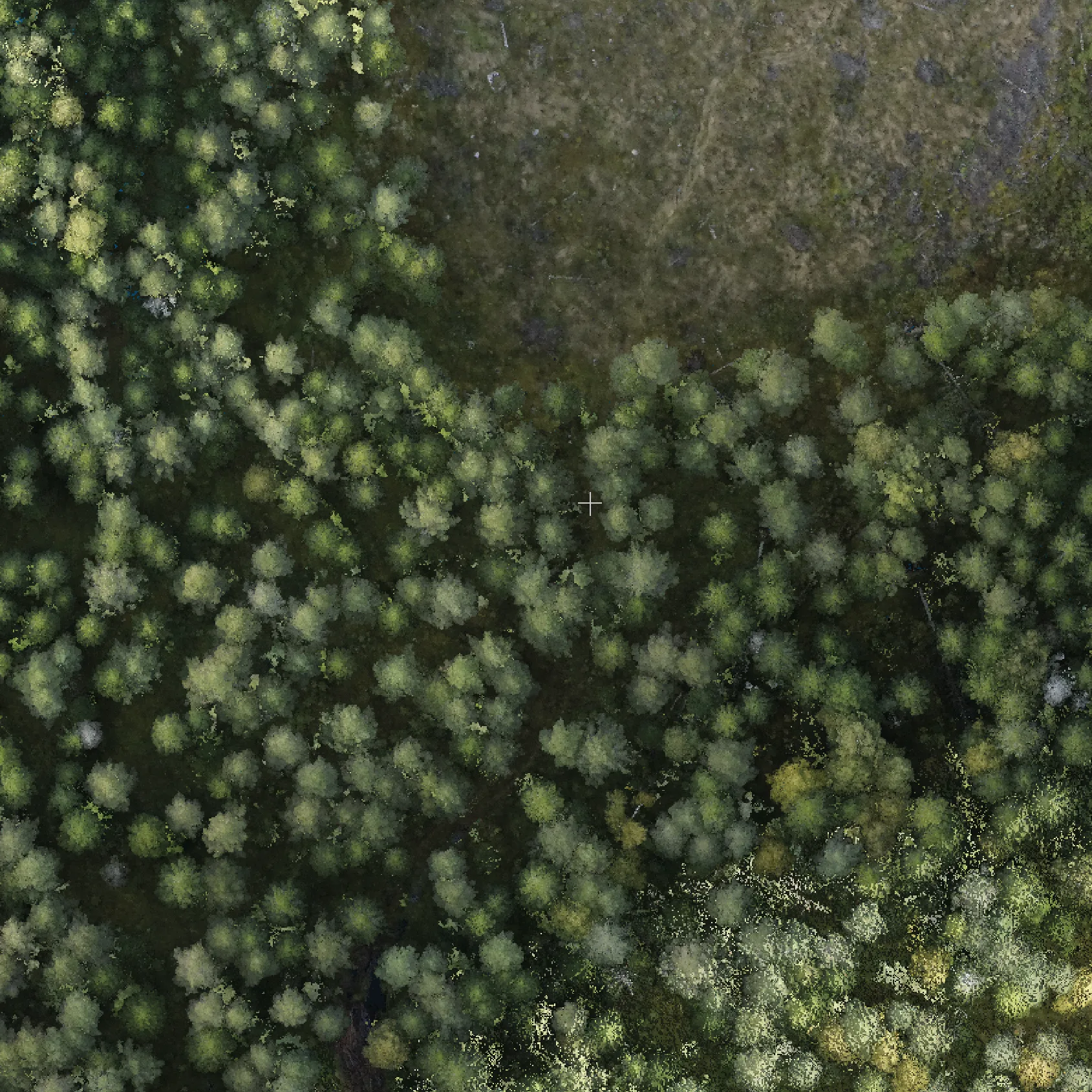
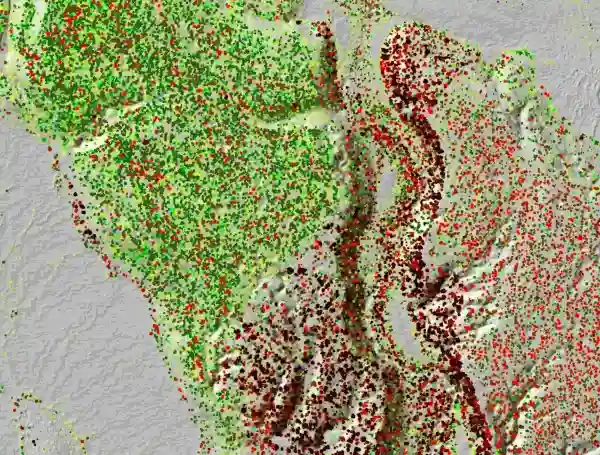
Hyper-resolution forest inventory
- A true digital twin of forest using 1000+ points/m² density
- Crown size, structure, and species-related characteristics with over 90% classification accuracy
- Detection of standing and fallen deadwood
- Suitable for forest pre‑planning, scientific use, nature value and biodiversity assessments, as well as detailed plantation planning and harvest

APPLICATION AREAS
Inventory Adapted for Plantations
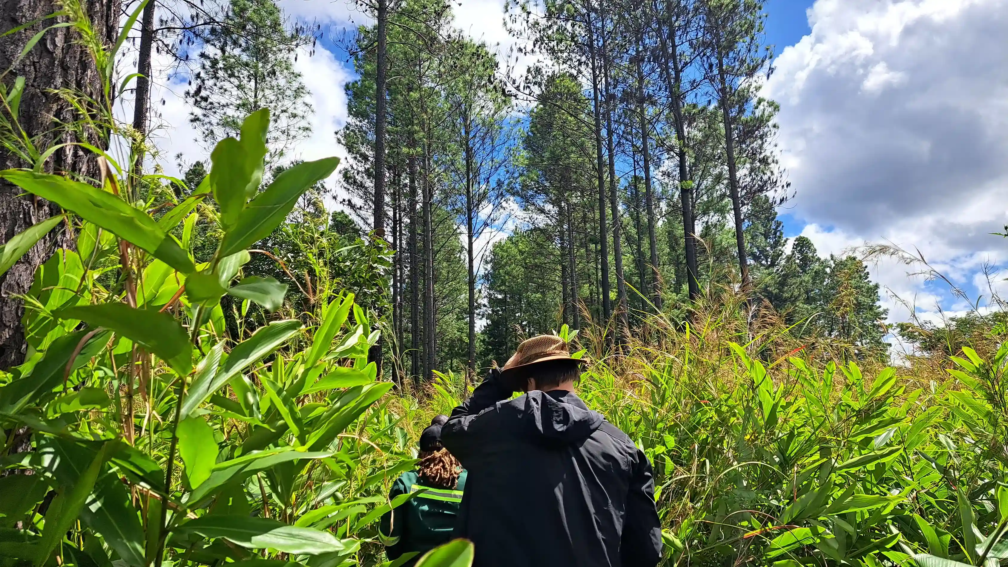
Intensively managed plantation forests demand accurate, timely, and repeatable insights. Since plantation stands are typically even aged, uniform, and harvested on fixed rotations, Arbonaut’s LiDAR powered inventories offer scalability and effectiveness.
- Optimized inventory methods for fast‑growing species, like eucalyptus
- Delivery within 60-90 days using our integrated processing chain, ensuring exceptional empirical and statistical accuracy in each dataset
- Support for rotation planning, verification, growth assessment, and harvest readiness
- Integration of terrain, water flow, and operational layers relevant to commercially managed forests
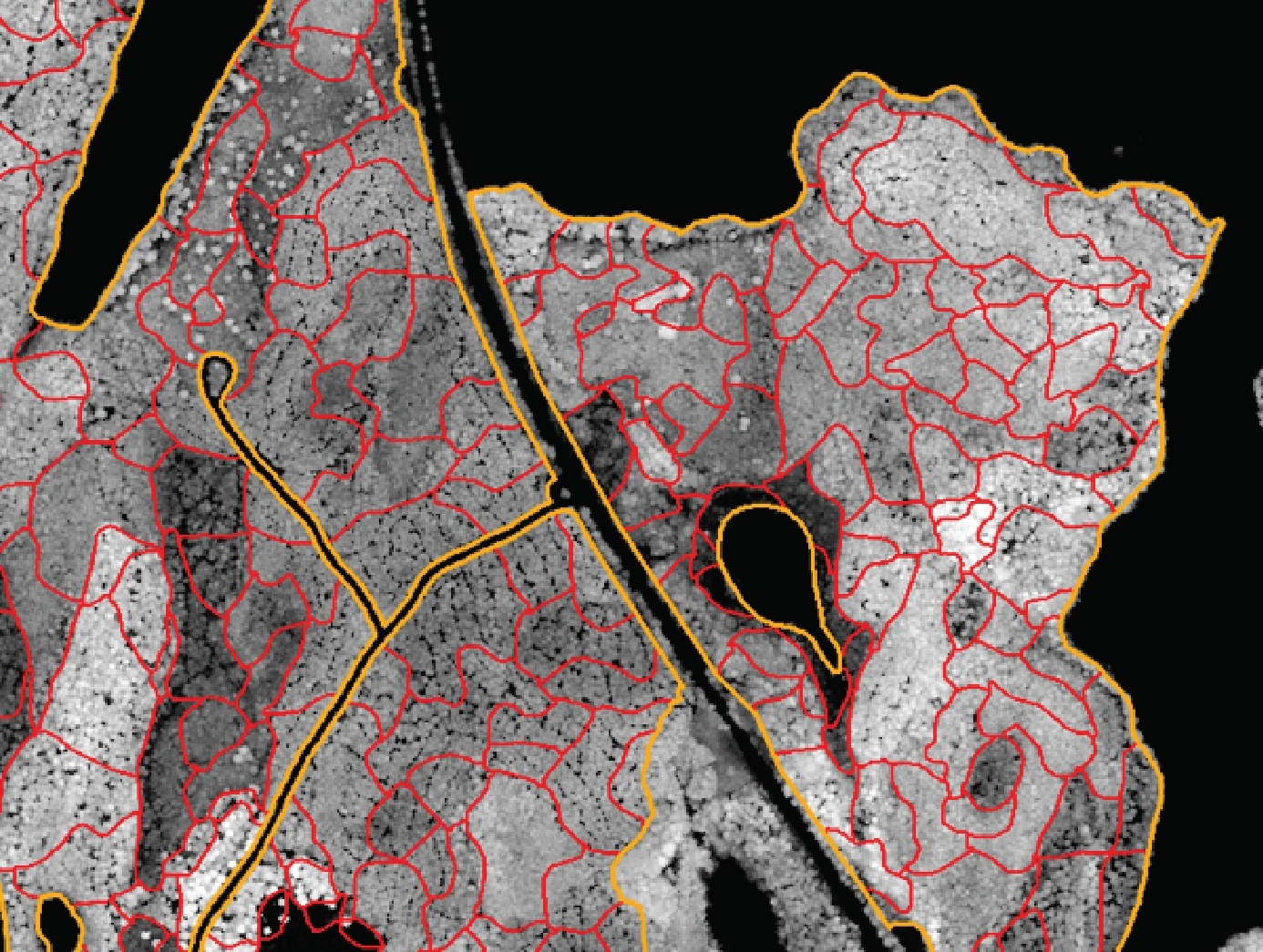
Automatic Segmentation of Forest Stands
Arbonaut automatically structures raw remote-sensing data into layers that are immediately usable for planning and analysis. Available as part of inventory workflows or as a standalone product.
VALUE-ADDED INSIGHTS
Nature Value Analysis
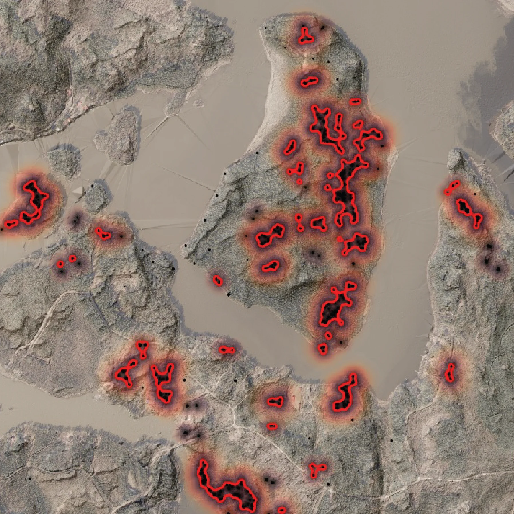
The analysis adds ecological context to forest inventory data by identifying environmentally valuable areas and incorporating them into planning and decision-making. It helps organizations understand where environmental values are located and how to account for them alongside operational objectives. Arbonaut provides support in:
- Deadwood mapping of dead trees and dead tree clusters
- Detection of broad-leaved areas by height
- Precise identification of areas with high biodiversity indicators using structural variance
- Long-term forest sustainability and compliance goals
- Finding a balance in areas where they deliver the greatest ecological value without compromising commercial forestry
End-to-End Inventory Process with Arbonaut
-
1. Project design
Inventory objectives, scale, data availability, and outputs are defined together with a customer.
-
2. Data acquisition
LiDAR, satellite imagery, aerial photos, and field reference data are sourced through our trusted partners.
-
3. Data processing
Remote‑sensing datasets are processed into standardized forest layers.
-
4. Result calculation
Forest attributes are modelled and delivered as GIS‑ready products.
Let’s Define the Right Inventory Level for You
Whether you are planning a large‑scale baseline inventory or need detailed insights for selected forest areas, our team will help you achieve your goals.
Frequently Asked Questions

 Cookie Policy