

Forest Ecosystem Inventories
A complete, reliable picture of your forest for multi-functional management.

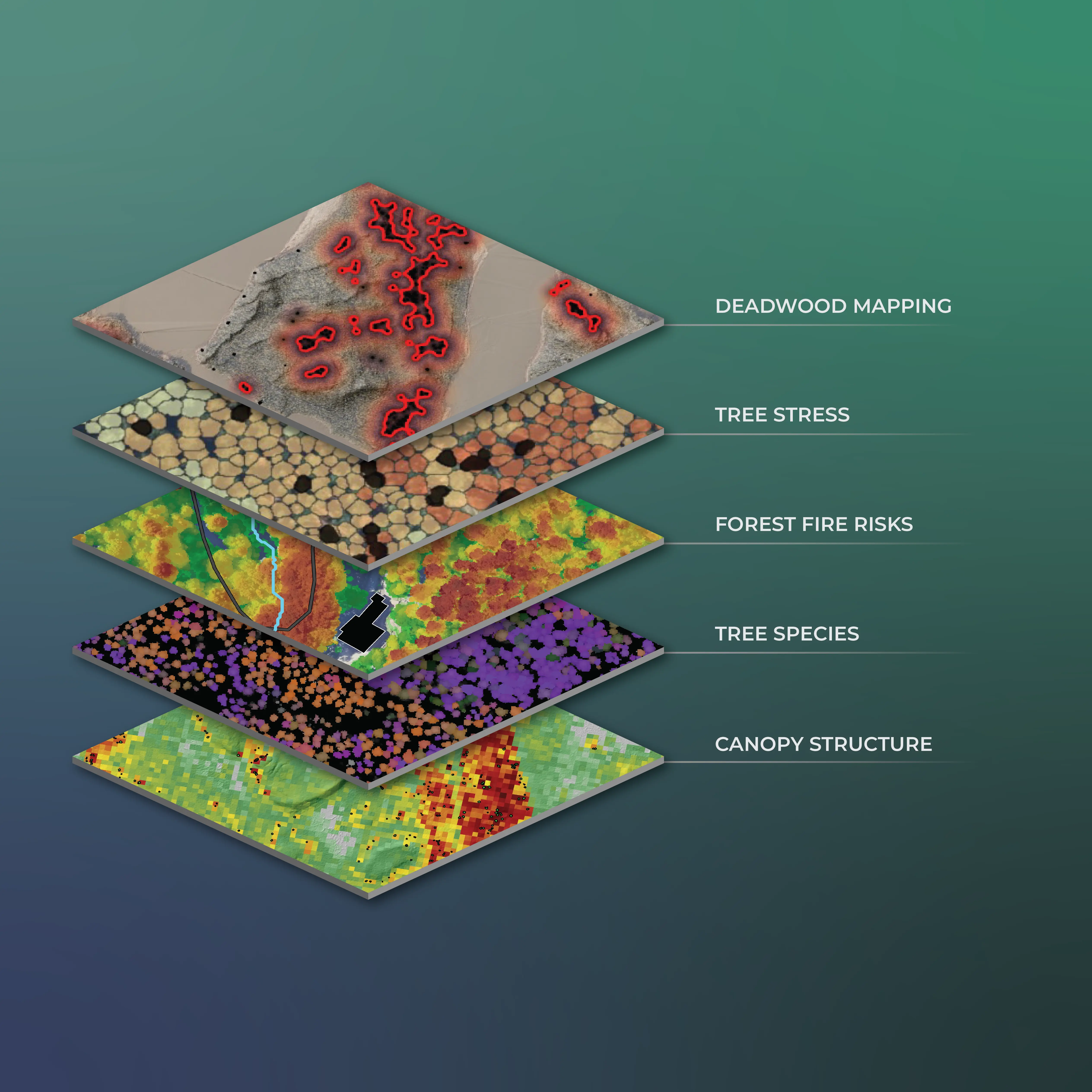
Detailed representation of forests and vegetation insights
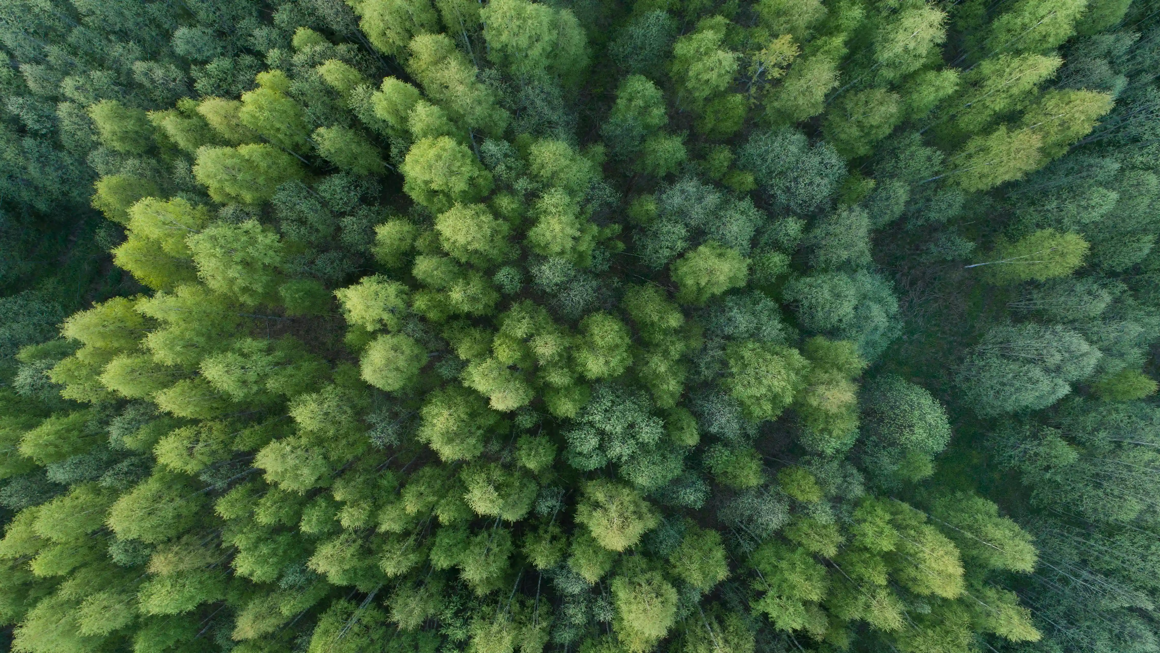
Forests are more than trees and timber. We provide a clear understanding of forests as a resource, work environment, and ecosystem. Our airborne LiDAR-based forest inventory delivers a trustworthy view of forest structure from stand to national levels.
50-90% fieldwork reduction, depending on the method
€10–€30 savings per hectare (LiDAR vs traditional field inventories)
230M+ hectares analyzed worldwide
From Data to Decisions
Explore our core solutions for forest intelligence, risk assessment, and carbon monitoring built to support strategic decisions.

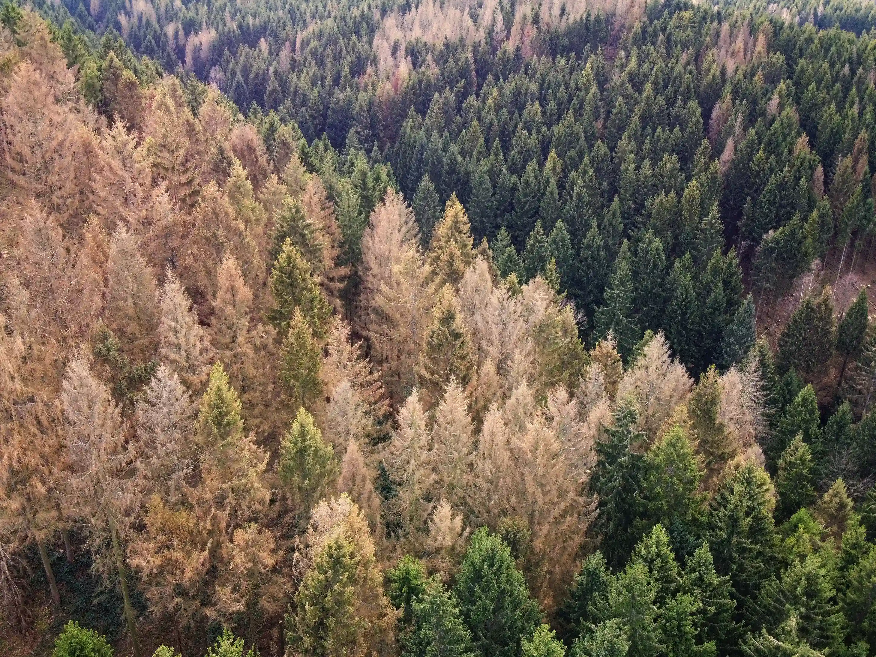


Forest & forest health risks
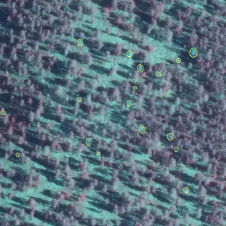
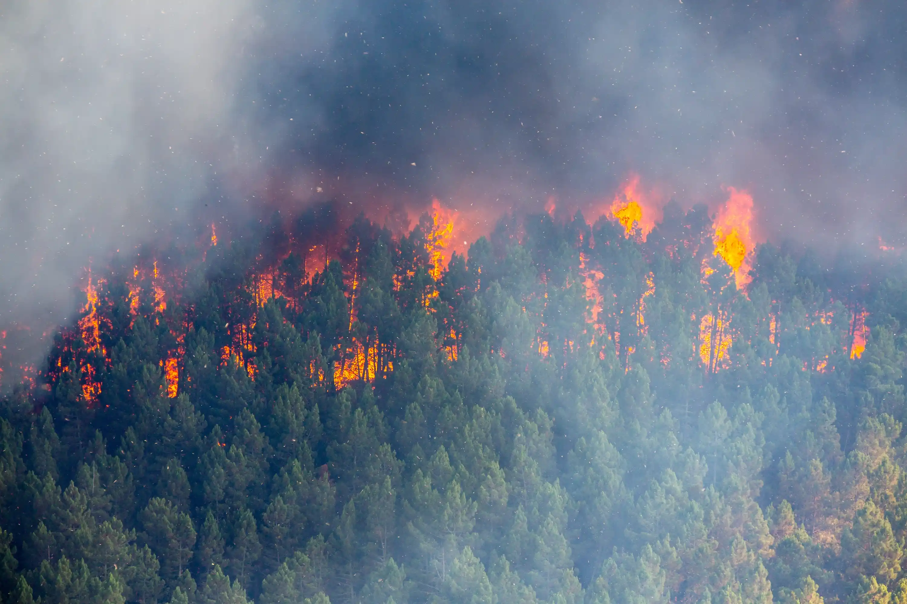
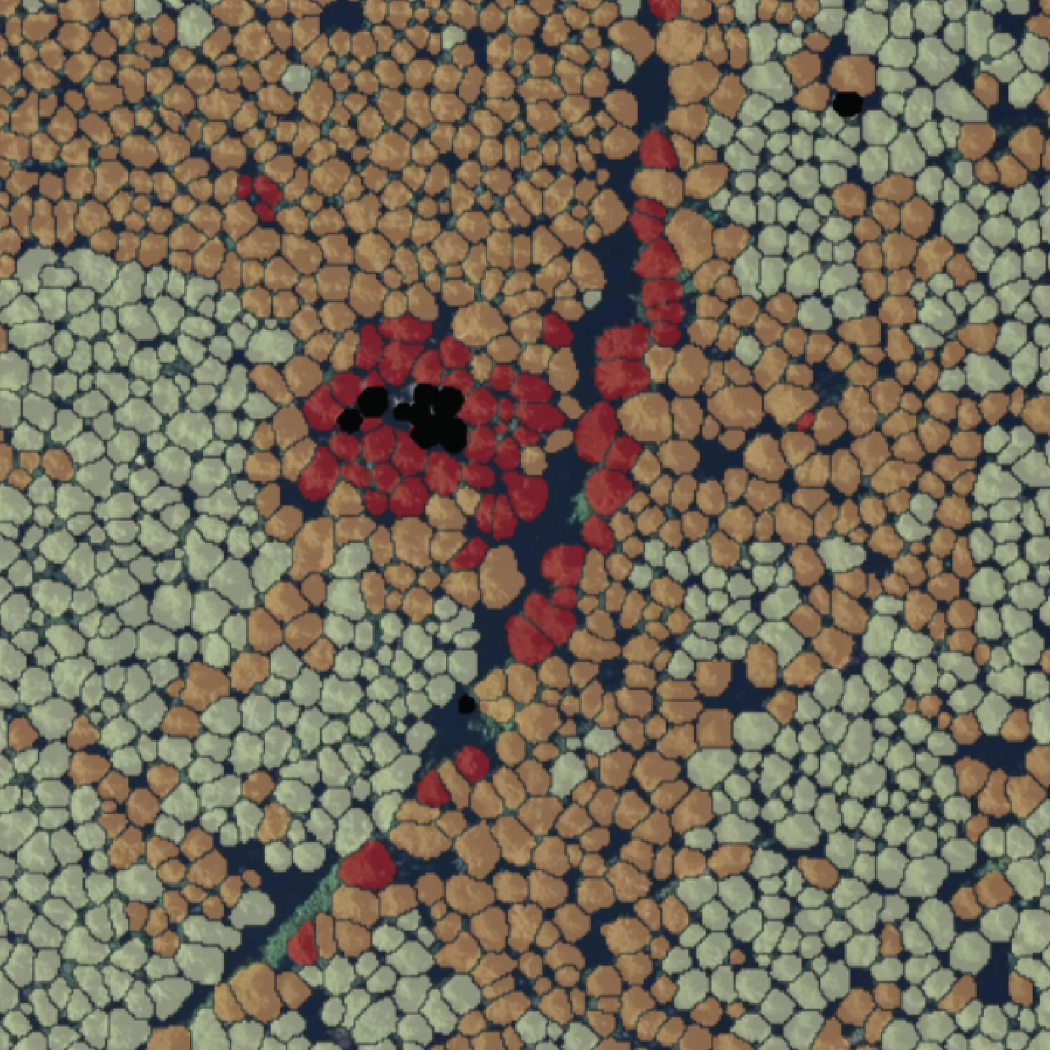
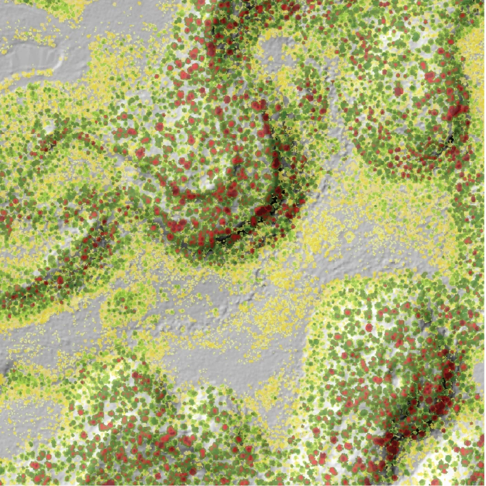
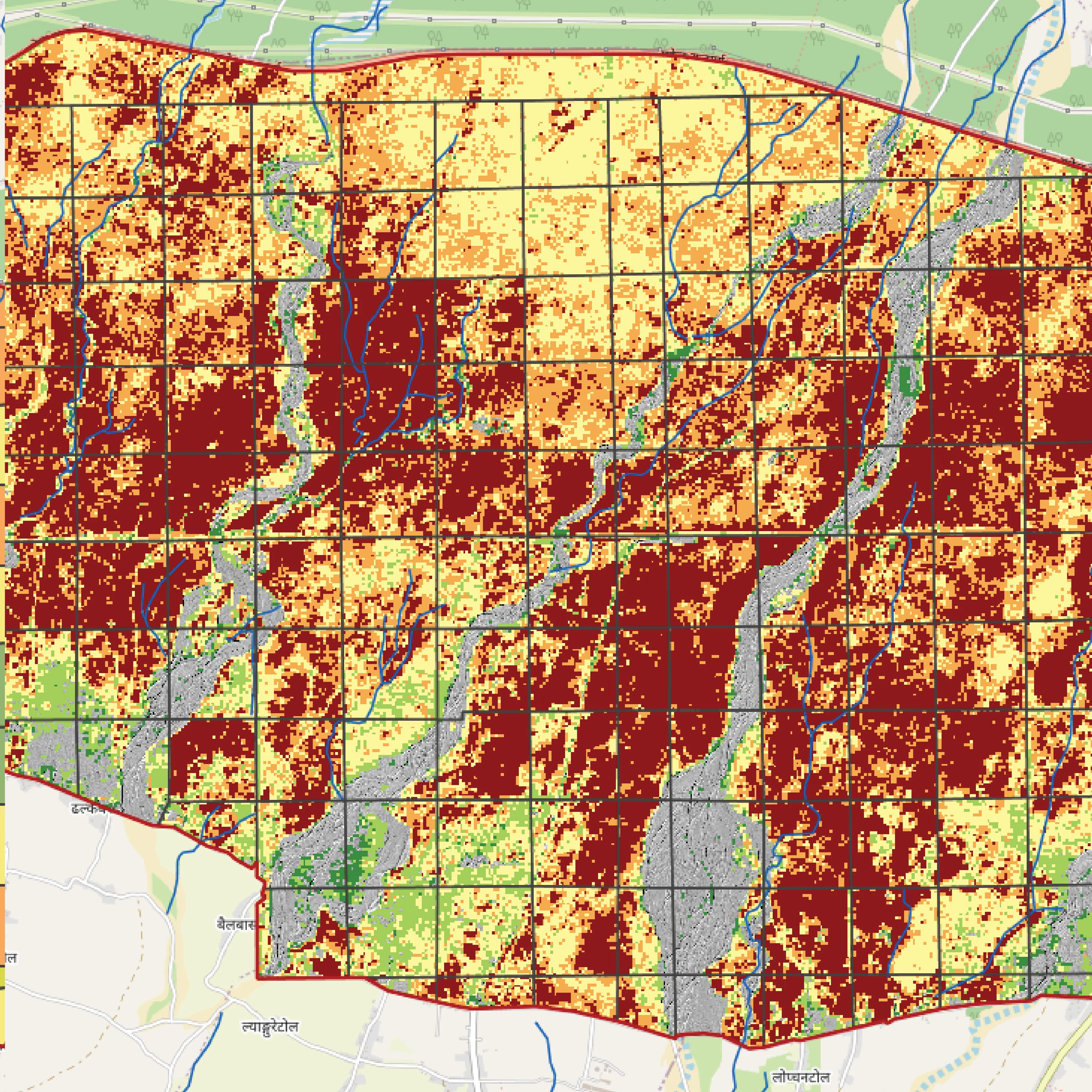
Identify, assess, and predict forest risks such as wildfires, pests, and infrastructure exposure. Plan preventive actions and strengthen response strategies with data-driven insights.



Get the Right Solution for Your Needs
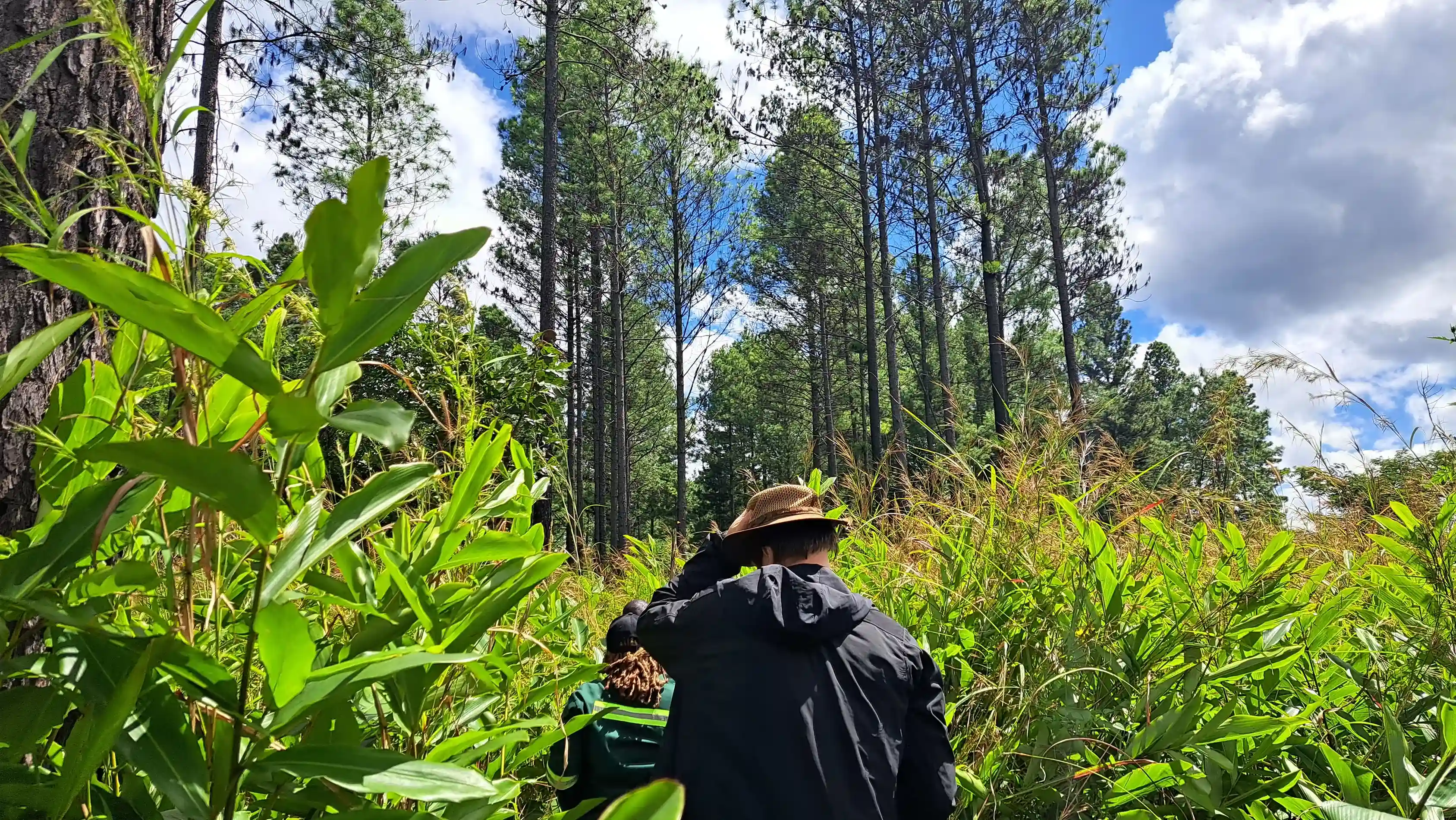
From inventory to risk and carbon, our team will help you scope your project and deliver clear next steps.

 Cookie Policy