

Forest Carbon Monitoring and REDD+ Solutions
Meeting international carbon standards and delivering credible results.

Credible Carbon Results Start with Accurate Data
Arbonaut supports carbon project developers and governments with reliable forest carbon data for project planning, monitoring, and reporting. Combining remote sensing and AI-based advanced analytics, we deliver accurate carbon estimates and support compliance with REDD+ frameworks, VCS, and international standards.
1,870,000+ km² mapped forest cover and land use in different parts of the world
90% forest cover mapping and 70% deforestation detection accuracy
Scalable project sizes from local to national levels
Delivered national deforestation baseline data as Verra VCS service provider
Compliance with REDD+, EUDR, UNFCCC, and other standards
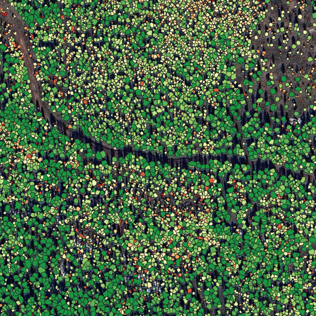
Get Ready for Voluntary Carbon Markets
With Arbonaut, you can:
- Develop baseline data for carbon projects according to international standards
- Monitor forest cover and detect change over time (afforestation and deforestation)
- Measure carbon stocks, emissions, and removals
- Support performance-based carbon payments and reporting with accurate data
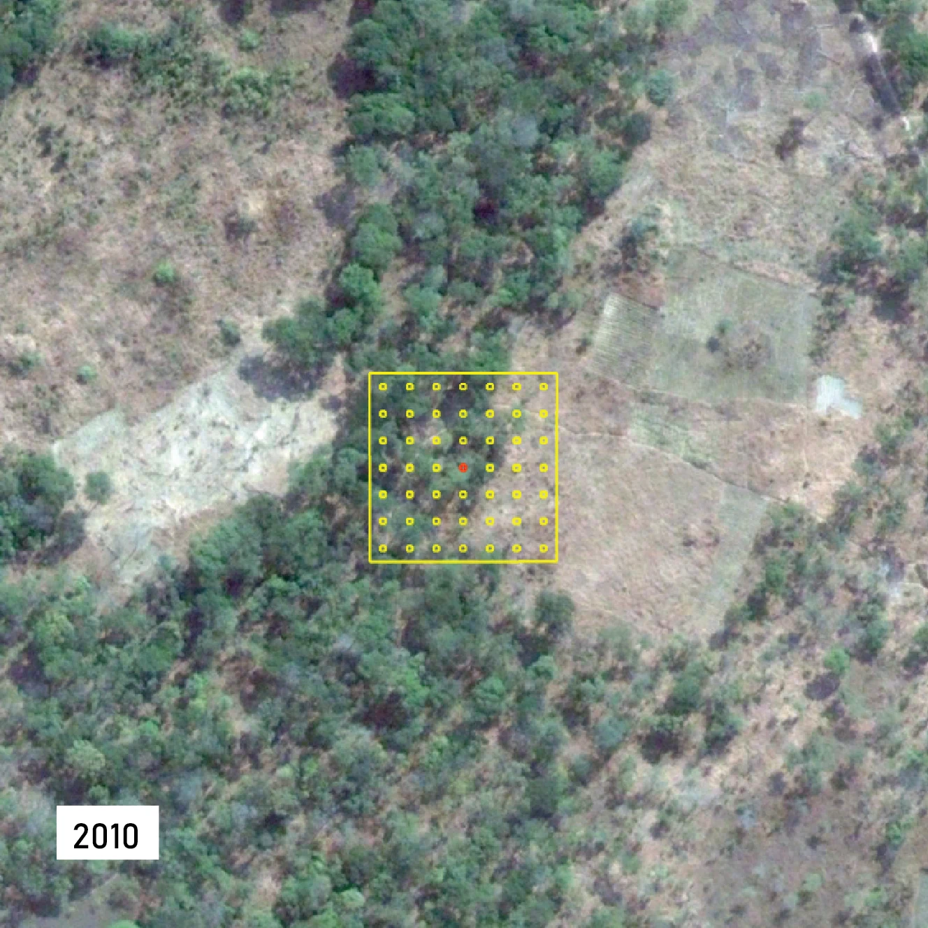
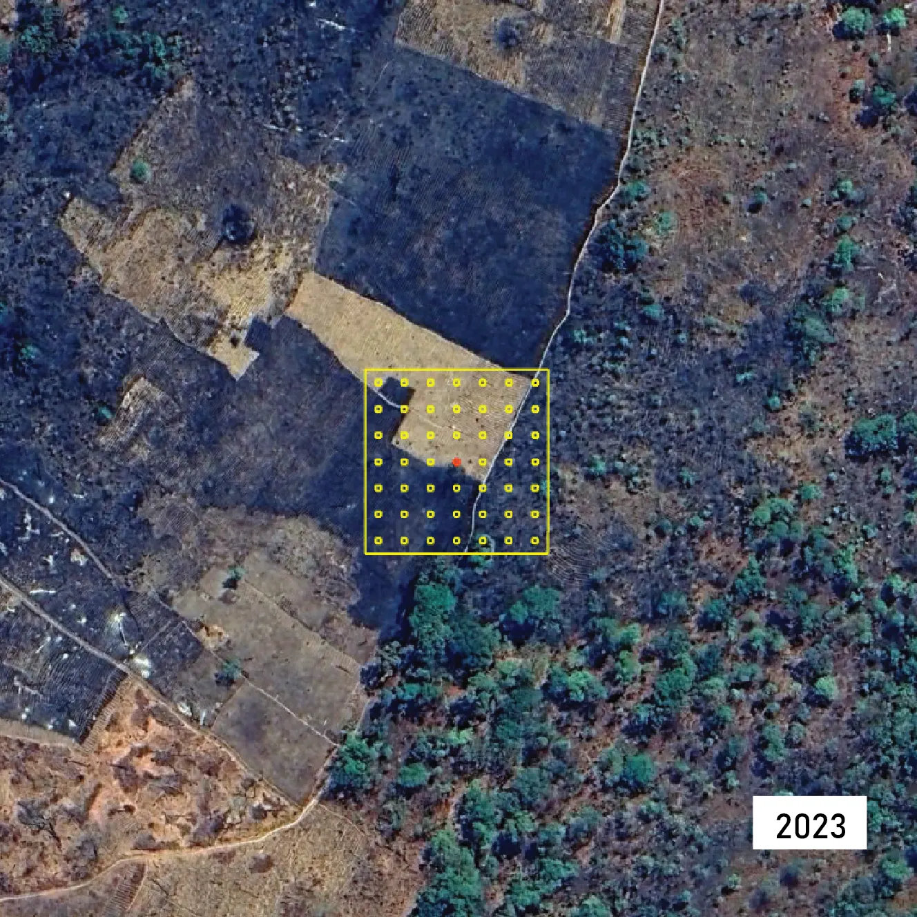
Collect Earth. Map data ©2010 & ©2023 Google.
MRV Systems for Credible Reporting
As a result, you get:
- Tracking of intervention impact and justification for the performance-based carbon payments
- Transparency and credibility of emission reductions
- Development and integration of GIS tools for monitoring carbon stocks and supporting report preparations
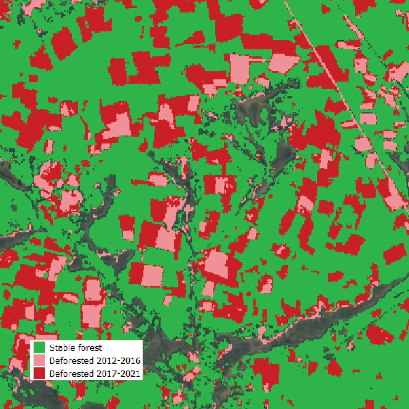
Map data ©2010 & ©2023 Google.
CLIMATE CHANGE MITIGATION FRAMEWORK
REDD+ Support for National Programs
With over 15 years of experience across 20+ REDD+ projects, Arbonaut supports governments in strengthening national systems and institutional capacity.
With Arbonaut, you can get:
- National REDD+ strategies
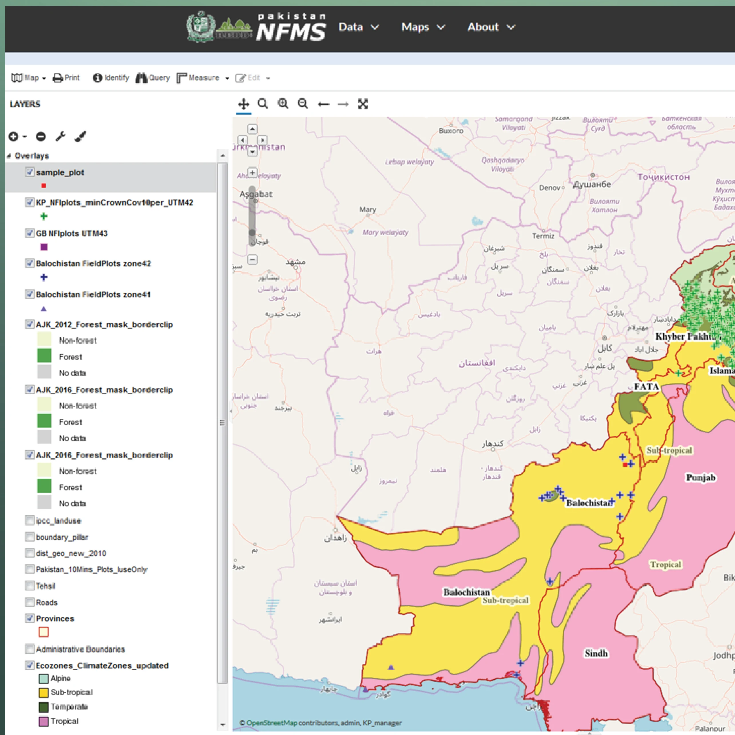
- National Forest Monitoring Systems (NFMS) for continuous forest and carbon monitoring
- Forest Reference Emission Levels (FREL/FRL) to measure emission reductions from deforestation and degradation
- National Forest Inventory (NFI) for carbon stock assessment
- Safeguard Information Systems (SIS) for transparency and accountability
- Capacity building for national and local institutions
From Carbon Data to Strategic Advantage
Starting a project, improving carbon monitoring, or building a national system? We can help you understand where better visibility can strengthen your climate, biodiversity, and forest management initiatives.



Frequently Asked Questions

 Cookie Policy