


From Forest Monitoring to REDD+ Strategy Development: Arbonaut's Impact Across Africa

Africa's forests are essential for biodiversity, climate resilience, carbon storage, and local livelihoods. Yet many countries face significant challenges: deforestation, fragmented data systems, limited forest monitoring capacity, growing reporting requirements, and the need to balance conservation with economic development. Across the continent, governments and international organizations are looking for better ways to understand, manage, and protect their forest resources.
A common thread throughout Arbonaut's work in Africa is the transfer of Finnish forestry excellence through long-term partnerships and capacity building. Whether developing forest monitoring systems, REDD+ strategies, GIS platforms, or LiDAR-based inventory approaches, the goal is not only to deliver technology, but also to equip local experts with the knowledge and skills needed to use, maintain, and continuously develop these solutions well into the future. For more than 30 years, Arbonaut has helped countries transform complex environmental data into practical tools for forest management.
The Challenge: Turning Environmental Data into Action
Many African countries face similar obstacles:
- Rapid deforestation and forest degradation
- Limited access to reliable and up-to-date forest information
- Growing requirements for carbon accounting, REDD+, and climate reporting
- Fragmented forest information systems and datasets
- Need for stronger local technical capacity
Across multiple countries, Arbonaut has addressed these challenges by combining advanced geospatial technologies with practical decision-support solutions and institutional capacity building. Here you can view the various projects completed around the world.
- Arbonaut’s projects worldwide
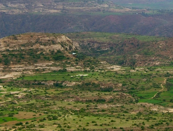
Ethiopia: Mapping Agricultural Parcels Hidden Under Forest Canopies
The Challenge
In Ethiopia's coffee-growing highlands, dense forest cover makes it difficult to accurately identify and geolocate agricultural parcels. This has become increasingly important as agricultural producers face stricter traceability requirements linked to international regulations such as the EUDR.
Arbonaut's Solution
Through the REILA III programme, Arbonaut evaluated how LiDAR and advanced geospatial technologies could help locate coffee-producing parcels hidden beneath forest canopies.
- Assessed the feasibility of LiDAR for parcel identification under tree cover
- Piloted LiDAR data collection and data fusion approaches
- Evaluated innovative cadastral surveying methods
- Developed stakeholder capacity-building recommendations
Key Outcomes
Uganda - Project 1: Building the Foundation for Verified Carbon Projects
The Challenge
High-quality carbon and forest conservation projects require reliable historical information on deforestation patterns, forest cover changes, and baseline conditions.
Arbonaut's Solution
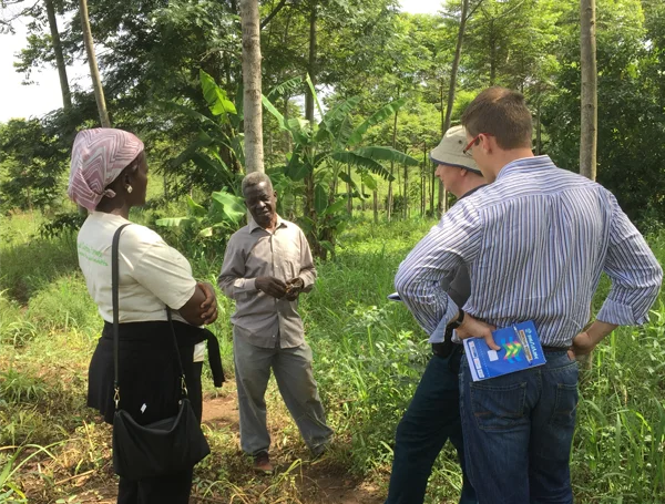
Working with VERRA, Arbonaut developed jurisdictional activity data and forest cover benchmark maps for Uganda. These datasets support Verified Carbon Standard (VCS) Avoiding Unplanned Deforestation projects.
- Historical forest cover benchmark maps for 2011, 2016, and 2020
- Estimation of national deforestation rates
- Activity data collection and uncertainty analysis
- Biomass density assessment and identification of areas at risk of activity shifting
- Capacity building for the National Forestry Authority and Ministry of Water and Environment
Key Outcomes
Uganda - Project 2: Real-Time Deforestation Monitoring Through NARIS
The Challenge
Authorities need timely and accessible forest data to understand where forest loss is occurring and how quickly it is happening.
Arbonaut's Solution
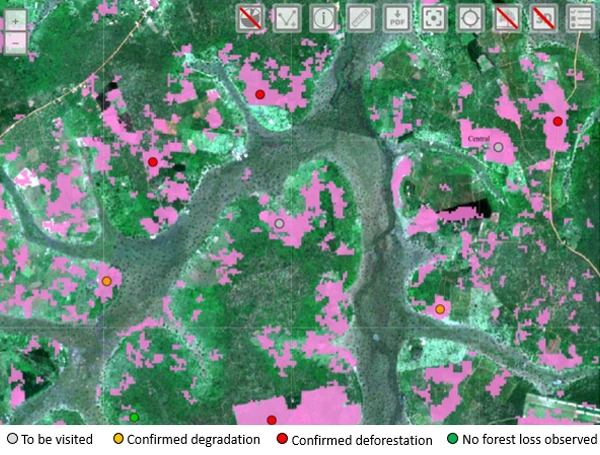
For the The UNDP Uganda Accelerator Lab, Arbonaut developed the NARIS platform, a web GIS solution that integrates multiple data sources into a single forest monitoring environment.
- Pilot implementation in forest-loss hotspots
- Harmonized forest loss datasets
- Development of a web-based GIS monitoring platform
- Improved access to information for decision-makers
Key Outcomes
Uganda - Project 3: Developing Uganda's National REDD+ Strategy
The Challenge
Implementing REDD+ requires governance structures, safeguards, information systems, stakeholder engagement, and technical capacity.
Arbonaut's Solution
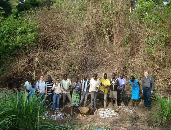
Arbonaut supported both the development and later update of Uganda's national REDD+ strategy. The work included safeguard systems, information systems, planning frameworks, and national capacity building.
- Operational safeguard information system
- Information system development for government authorities
- National REDD+ strategy updates
- Indigenous Peoples Planning Framework and environmental assessments
Key Outcomes
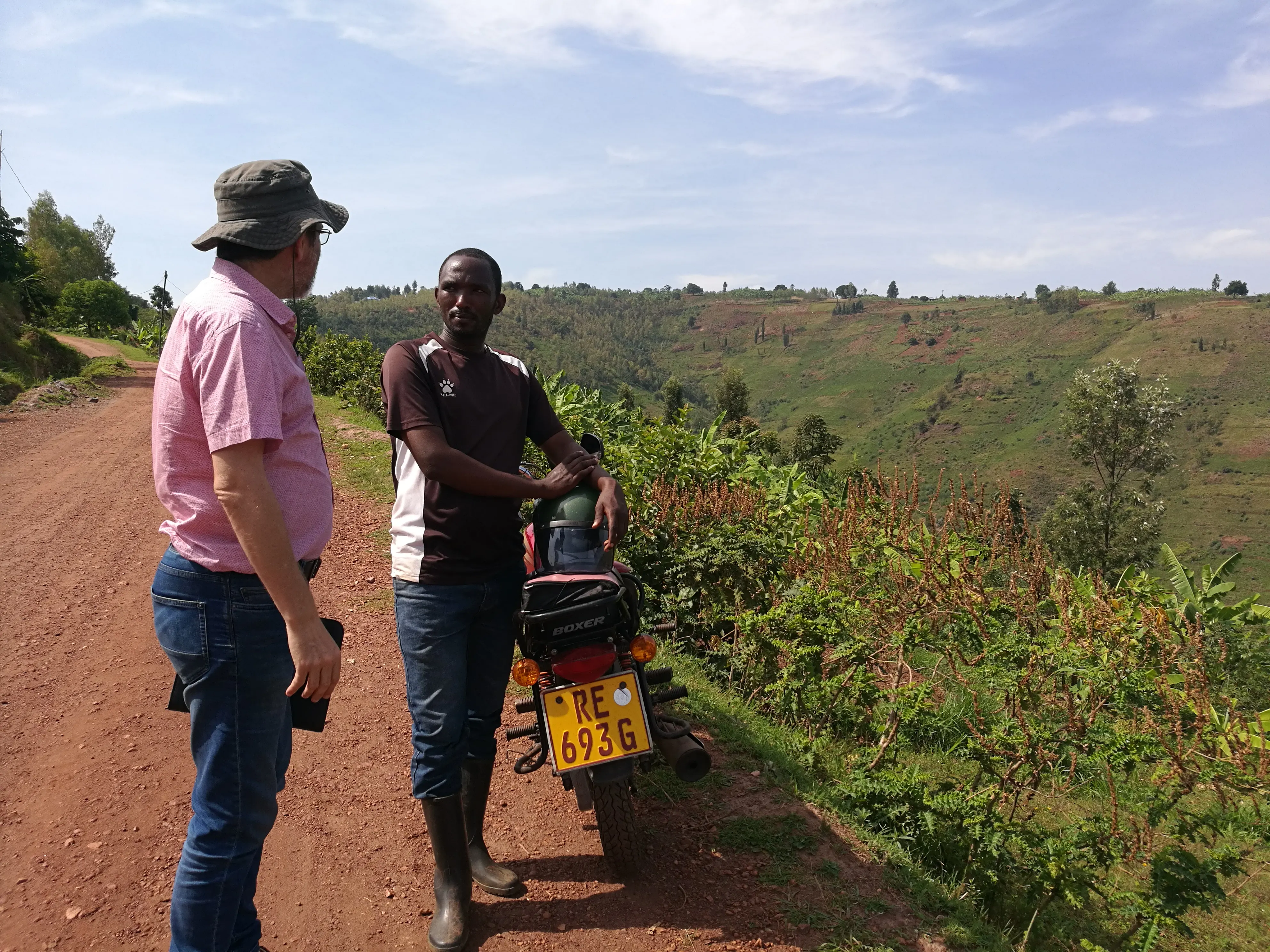
Rwanda: Digital Forest Management for Better Decision-Making
”I have experienced a very constructive and successful collaboration with Arbonaut for the development of the Forestry Monitoring and Evaluation System, a digital solution specifically customized for the needs of the Rwanda Forestry Authority. Arbonaut demonstrated their commitment to achieving their task professionally while providing good advice and adapting to the local context.” — Jacques Peeters, Forest Management Expert in Rwanda Ministry of Environment | ENABEL
The Challenge
Forest management becomes difficult when information is fragmented across multiple spreadsheets and disconnected systems.
Arbonaut's Solution
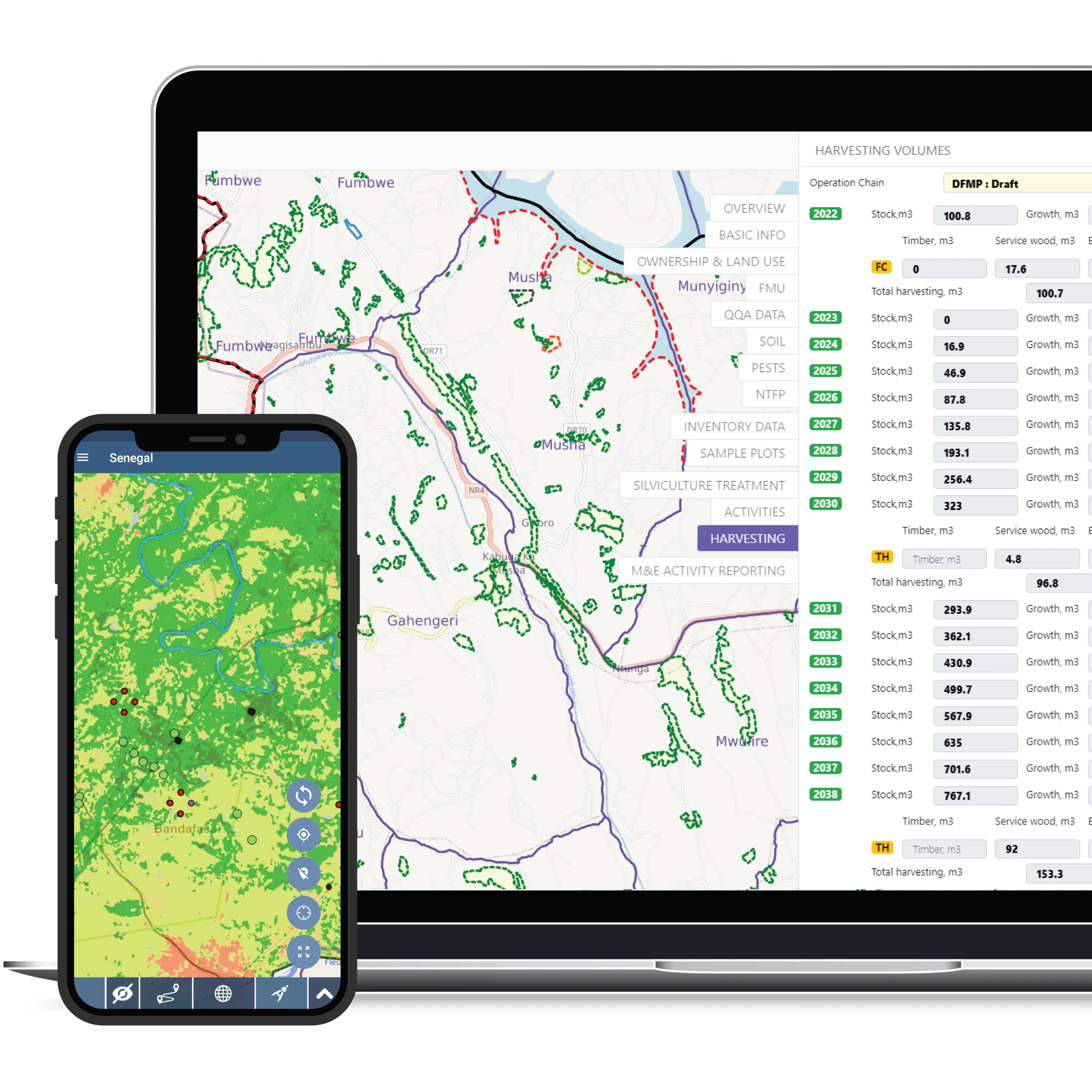
Arbonaut developed a customized GIS-based District Forest Management Plan (DFMP) database for the Rwanda Forestry Authority (RFA).
- Centralized forest management database
- Migration of legacy Excel-based information
- End-user and administrator training
- Long-term knowledge transfer and capacity building
Key Outcomes
Senegal: Combining Forest Conservation with Community Development
The Challenge
Climate change adaptation and forest protection often need to go hand in hand with livelihood improvement.
Arbonaut's Solution
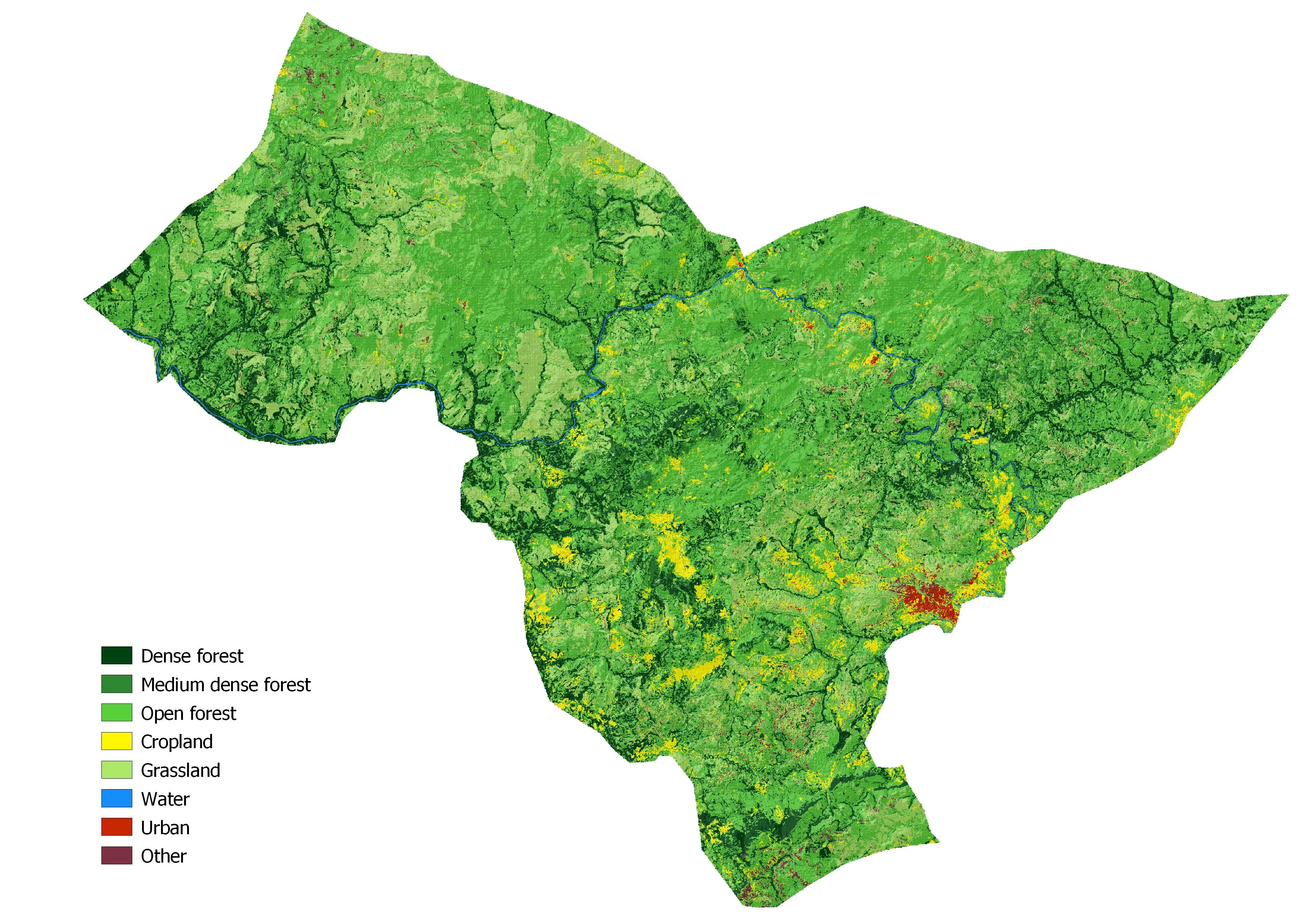
In Senegal, Arbonaut supported REDD+ monitoring, carbon accounting, and sustainable non-wood forest product value chains in rural communities.
- Carbon inventories and land-use mapping
- REDD+ MRV methodology development and piloting
- Sustainable entrepreneurship initiatives
- Measures to reduce firewood consumption
Key Outcomes
Nigeria: Strengthening the National Forest Monitoring System
The Challenge
Effective forest management starts with reliable information systems and clear reporting procedures.
Arbonaut's Solution
Arbonaut supported the development and operationalization of Nigeria's National Forest Monitoring System (NFMS).
- NFMS database and reporting system development
- Data-sharing protocols
- Monitoring framework reviews and improvements
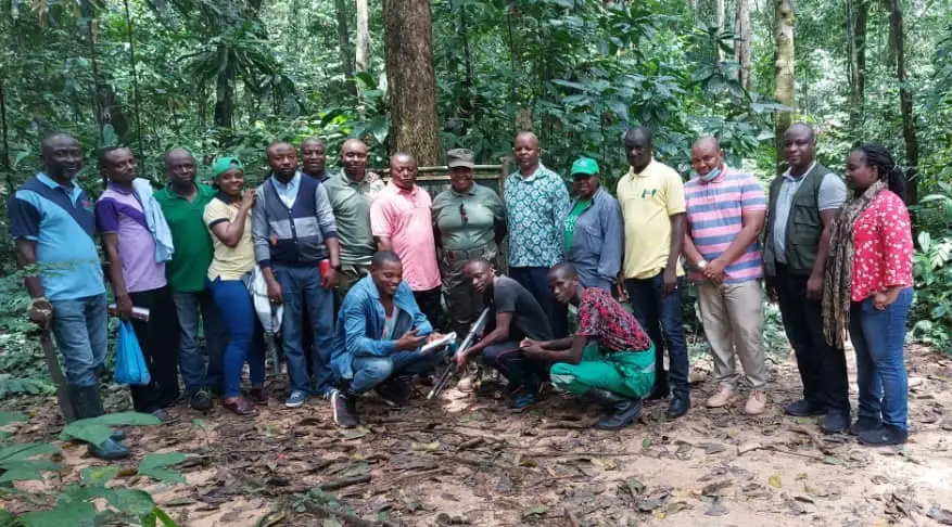
- Technical training programs for national experts
Key Outcomes
Tanzania - Project 1: Establishing the National Carbon Monitoring Centre
The Challenge
Reliable carbon monitoring infrastructure is essential for climate reporting and forest governance.
Arbonaut's Solution
Arbonaut helped establish the framework for Tanzania's National Carbon Monitoring Centre (NCMC), which remains operational today.
- Stakeholder consultations across national and international organizations
- National workshops and programme development
- Forest measurement expert training
- Foundation for long-term national carbon monitoring
Key Outcomes
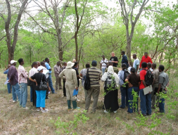
Tanzania - Project 2: Supporting the African Digital and Green Transition
The Challenge
Modern forest management increasingly depends on digital systems, cybersecurity, remote sensing, and accurate forest inventory methods.
Arbonaut's Solution
Working with Tanzania Forest Services (TFS), Arbonaut supported a roadmap for digital transformation, LiDAR-based forest inventory development, and forest information system modernization.
- Assessment of existing forest information systems
- Identification of ICT and geospatial data gaps
- Roadmap for information system development
- Roadmap for LiDAR-based forest inventories
- Improved capacity in GIS, remote sensing, and digital services
Key Outcomes
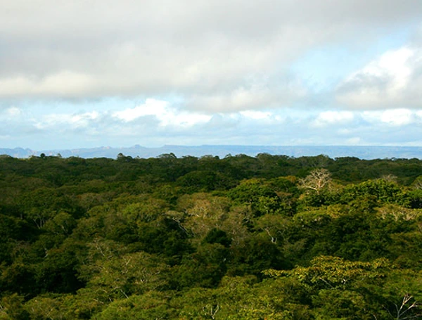
Zambia - Project 1: Measuring Deforestation at a National Scale
The Challenge
Developing credible jurisdictional carbon projects requires accurate historical activity data and forest change monitoring.
Arbonaut's Solution
For VERRA, Arbonaut produced jurisdictional activity data and forest cover benchmark maps for Zambia, supporting VCS Avoiding Unplanned Deforestation projects.
- National forest cover benchmark maps
- Deforestation rate estimation
- Carbon density and risk mapping
- Training of 23 experts from national institutions
Key Outcomes
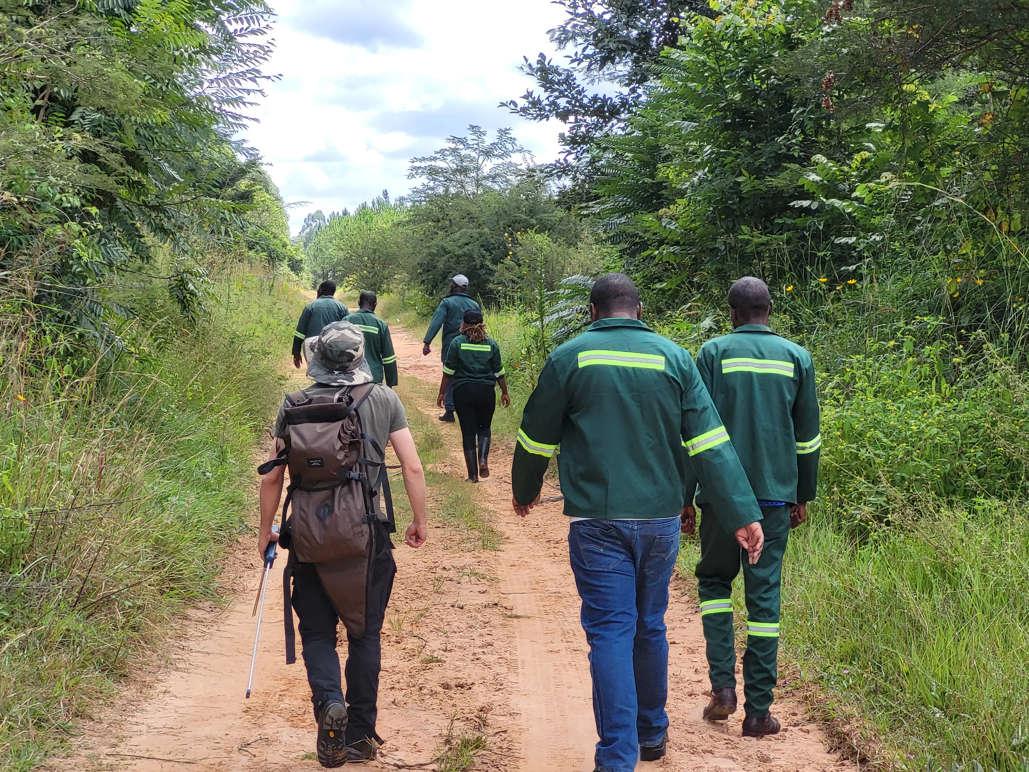
”It's not just about the work we do in these regions - it's about human connection. While sharing new technological approaches, we gained meaningful partnerships, fresh perspectives, and the warmth of African hospitality.” — Matias Vänttinen, Remote Sensing Expert at Arbonaut
Zambia - Project 2: Supporting Carbon Project Development in Western Province
The Challenge
Developing high-quality carbon projects requires reliable historical forest-cover data, deforestation estimates, and activity data that meet rigorous international standards. Accurate baseline information is essential for measuring impact and validating carbon projects.
Arbonaut's Solution
Working with BioCarbon Partners, Arbonaut supported the development of the carbon project in Zambia's Western Province by producing forest cover benchmark maps and activity data aligned with VCS (Verified Carbon Standard) methodologies.
- Generated Forest Cover Benchmark Maps covering the historical reference period from 2012 to 2021
- Collected and analyzed activity data for unplanned deforestation, stable forest, and forest regrowth
- Conducted quality assurance and uncertainty assessments
- Estimated annual deforestation rates across Western Province
- Delivered methodology documentation and summary reports to support project development
Key Outcomes
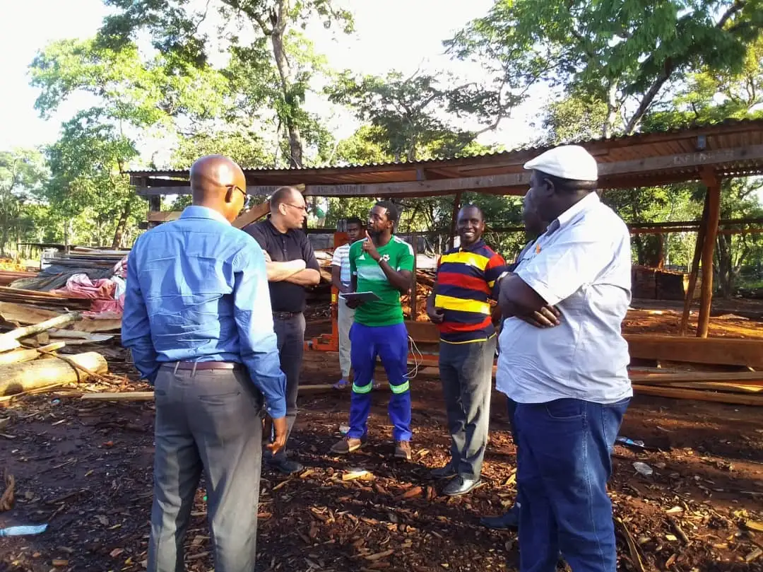
Zambia - Project 3: Modernizing Plantation Management Through LiDAR and Digital Forestry
The Challenge
Managing large-scale forest plantations requires accurate inventory data, efficient information management systems, and long-term planning tools. Legacy datasets and outdated mapping can limit operational efficiency and decision-making.
Arbonaut's Solution
For Zambia Forestry and Forest Industries Corporation (ZAFFICO), Arbonaut delivered a comprehensive modernization programme combining LiDAR-based forest inventories, digital forest information systems, plantation mapping, and strategic management planning.
- Developed a centralized Forest Information Management System (FIMS) using Arbonaut's ArboFIS platform
- Updated plantation boundaries and compartment registers using modern aerial imagery
- Implemented a LiDAR-based forest inventory to improve estimates of growing stock, productivity, forest health, and carbon potential
- Prepared a data-driven five-year Forest Management Plan covering harvesting, silviculture, and future development scenarios
- Conducted forestry, GIS, inventory, and system administration training for ZAFFICO staff
- Strengthened ZAFFICO's long-term capacity for sustainable plantation management through technology transfer and knowledge sharing
Key Outcomes
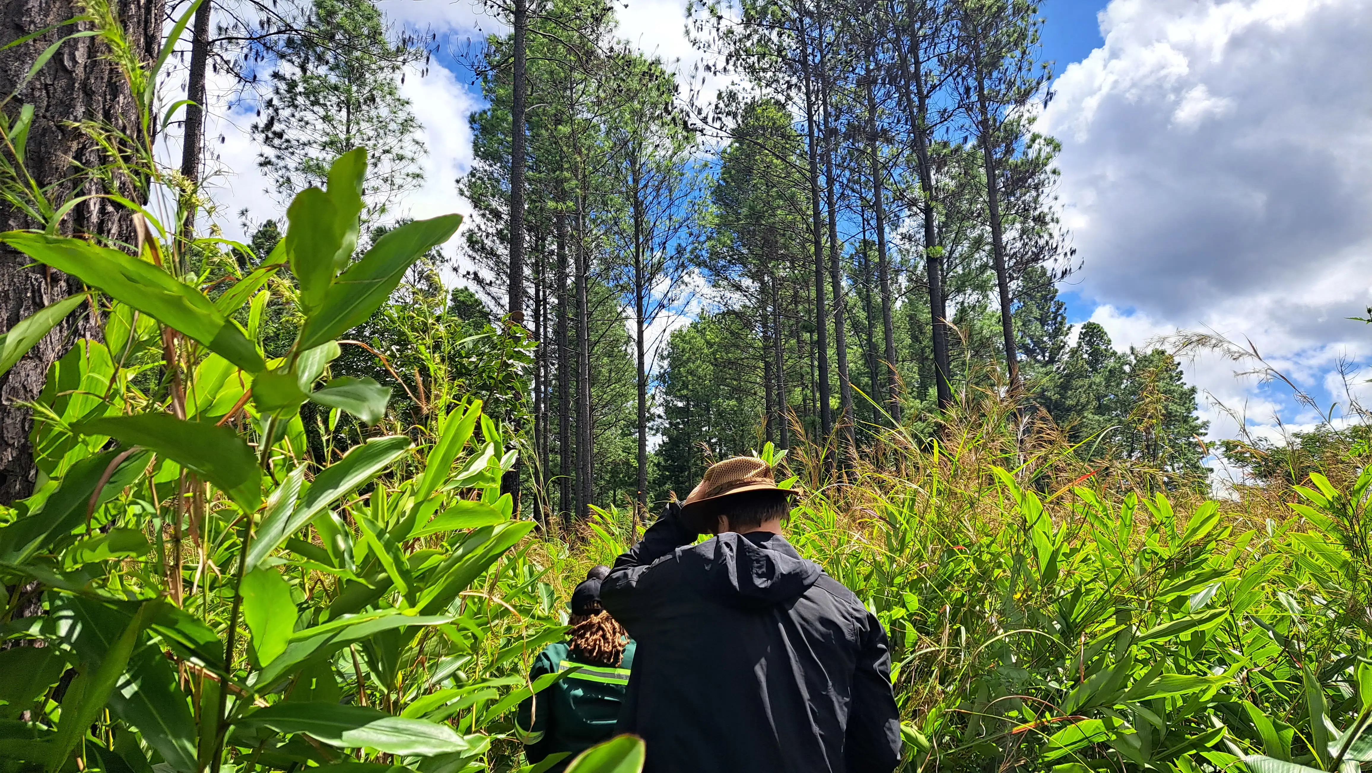
Central African Republic: Building a National REDD+ Strategy
The Challenge
To participate effectively in international climate initiatives, countries require comprehensive REDD+ strategies, monitoring systems, and implementation frameworks.
Arbonaut's Solution
Arbonaut supported the development of the National REDD+ Strategy for the Central Africa Republic Ministry of Environment and Sustainable Development (CAR-MESD).
- Assessment of REDD+ policy options
- Feasibility and cost-benefit analyses
- National consultations and strategy validation
- Initial proposals for NFMS and MRV frameworks
Key Outcomes
Ghana: Creating the Foundation for National Forest Monitoring
The Challenge
Managing forest resources at the national scale requires comprehensive mapping, carbon stock assessment, and institutional capacity.
Arbonaut's Solution
As part of a consortium supporting Ghana's Forest Preservation Programme, Arbonaut contributed to national forest mapping, carbon stock estimation, REDD+ readiness, and GIS-based inventory system development.
- National land-use and land-cover maps
- Forest baseline and resource mapping
- Carbon stock modelling using field data and LiDAR
- GIS-based forest inventory systems
- Capacity building for national forest authorities
Key Outcomes
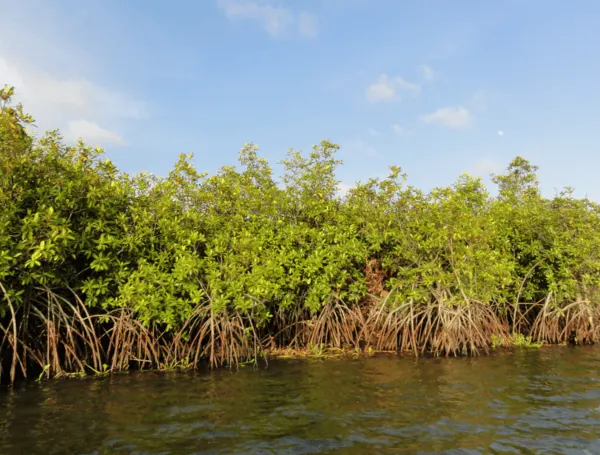
Mozambique: Strengthening Forest Operations Through Digital Information Systems
The Challenge
Managing forestry operations efficiently requires accurate information across the entire value chain, from forest inventories and harvest planning to logistics, product tracking, and reporting. Without integrated systems, maintaining traceability and operational visibility can be difficult.
Arbonaut's Solution
For Mahate Florestal Lda, Arbonaut developed the requirements and specifications for a comprehensive Forest Information System designed to support forest inventory, harvest management, tree planting, logistics, traceability, and reporting processes.
- Defined system requirements and workflows for forestry operations
- Designed a data model to support forest management and reporting
- Enabled end-to-end log traceability from forest stump to customer destination
- Supported inventory, transportation, and operational planning processes
- Created a foundation for a modern digital forest management system
Key Outcomes
A Common Theme Across Africa: Data-Driven Forest Management
Although the projects vary from parcel mapping in Ethiopia to carbon monitoring in Tanzania and REDD+ implementation in Central Africa, they all share a common goal: helping countries make better decisions about their forests through reliable data, practical technology, and local capacity building. Also, at Arbonaut we have completed other projects across Africa that are older, including projects in countries such as GIS (Geographic Information Systems) development in Kenya, capacity building in Cameroon, LiDAR based plantation inventory in South Africa, and capacity building in Guinea.
From mapping coffee parcels beneath Ethiopia's forest canopies and developing forest-cover benchmark maps in Uganda to establishing carbon monitoring systems in Tanzania, digital forest management platforms in Rwanda, and forestry information systems in Mozambique, Arbonaut's projects demonstrate how geospatial intelligence, forest expertise, and digital innovation can help organizations tackle complex forestry challenges across Africa.
If you would like to get more specific information on the projects, please visit here.

Discover how 30+ years of Finnish forest expertise can support your forests, anywhere in the world

 Cookie Policy