


Supporting Zambia’s Jurisdictional Baseline for VERRA REDD+ Methodology
Background
VERRA is the world’s biggest certifier of voluntary carbon offsets. VERRA's Verrified Carbon Standard (VCS) is also the world’s most widely used standard for certifying carbon credits to offset GHG emissions.
After the publication of VERRA’s updated REDD methodology and the new module for Avoided Unplanned Deforestation in 2023, accurate baseline datasets were needed for jurisdiction Zambia to support the development of Verified Carbon Standard (VCS) projects.
Solution
Arbonaut was awarded the assignment to develop jurisdictional baseline data for Zambia including:
- Forest cover benchmark map
- Sample-based activity data
- Map of ‘exclusion areas’
- Available areas and CO2 emission factors for activity shifting
- Standard operating procedures
Under this assignment, Arbonaut delivered analytical outputs fully aligned with VCS requirements, providing the foundation for credible, science-based carbon accounting.
The project also produced a robust historical time series of forest and non forest maps for 2012, 2017, and 2021. These datasets formed the basis for baseline activity data on unplanned deforestation across the jurisdiction for high-integrity REDD+ projects.
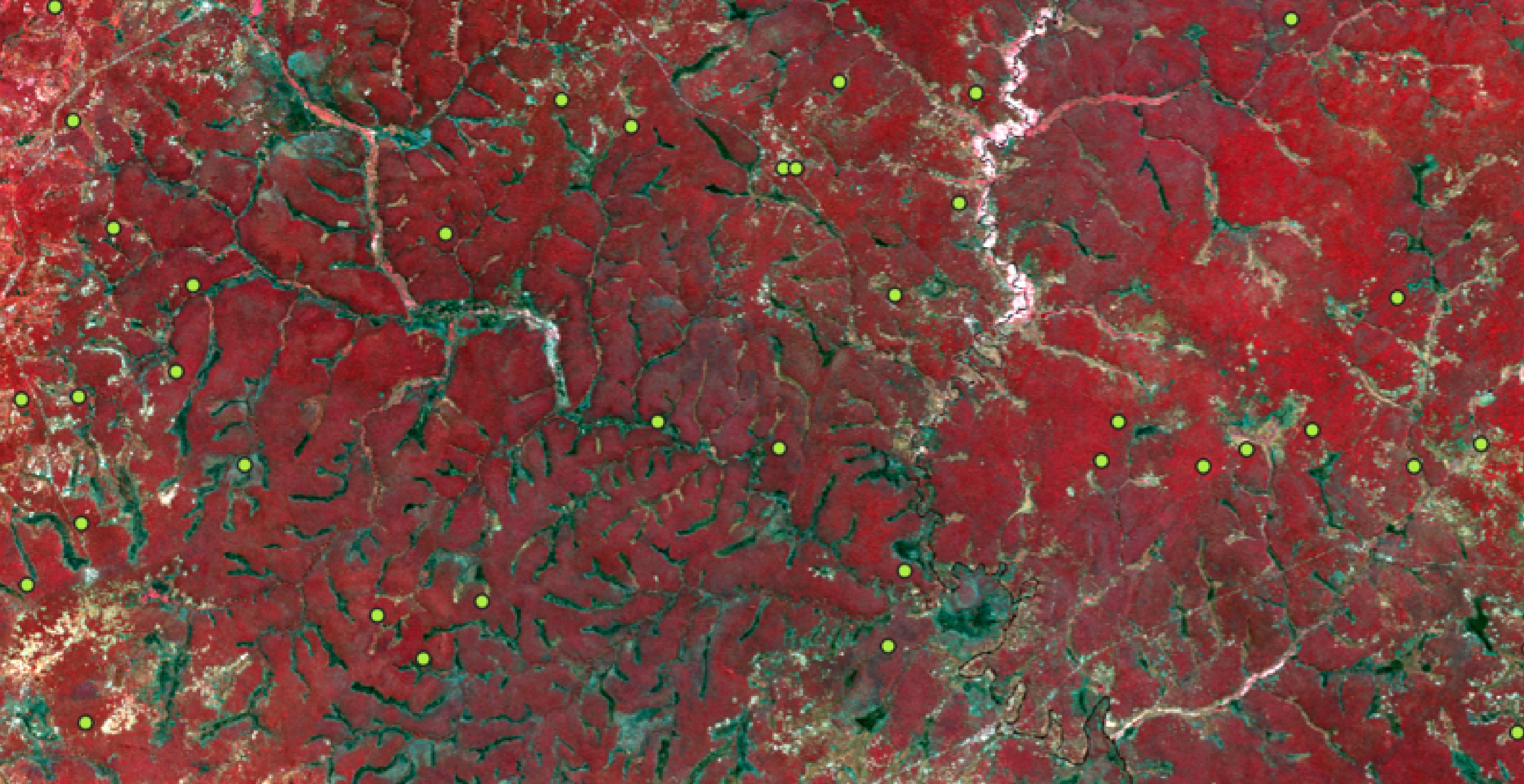
To ensure transparency and consistency, Arbonaut designed detailed Standard Operating Procedures (SOPs) covering:
- Forest cover benchmark mapping
- Sample-based activity data collection
- Data analysis following VCS methodology
Based on these SOPs, Arbonaut developed the following datasets:
- Forest cover benchmark maps (FCBM) with full quality assurance, showing areas of stable forest, deforestation and regrowth (2012-2021)
- Sample based activity data for unplanned deforestation, stable forest, and regrowth (2012–2021)
- Data analysis and uncertainty assessment for all activity data
- Map of exclusion zones
- Map of areas at risk of activity shifting and corresponding emission factor (carbon density)
- Technical report describing methodology and results
These outputs provided essential datasets for creating credible, high-integrity, jurisdiction-level AUDD carbon projects across Zambia.


 Cookie Policy