


Jurisdictional Baselines for Uganda’s Future REDD+ VCS Projects
About the project
In alignment with VERRA’s updated REDD+ methodology, Arbonaut supported Uganda in establishing the jurisdiction-wide baselines needed to develop high-integrity Verified Carbon Standard (VCS) projects.
The work focused on generating accurate forest cover benchmarks and baseline activity data to support credible accounting of unplanned deforestation.
Solution
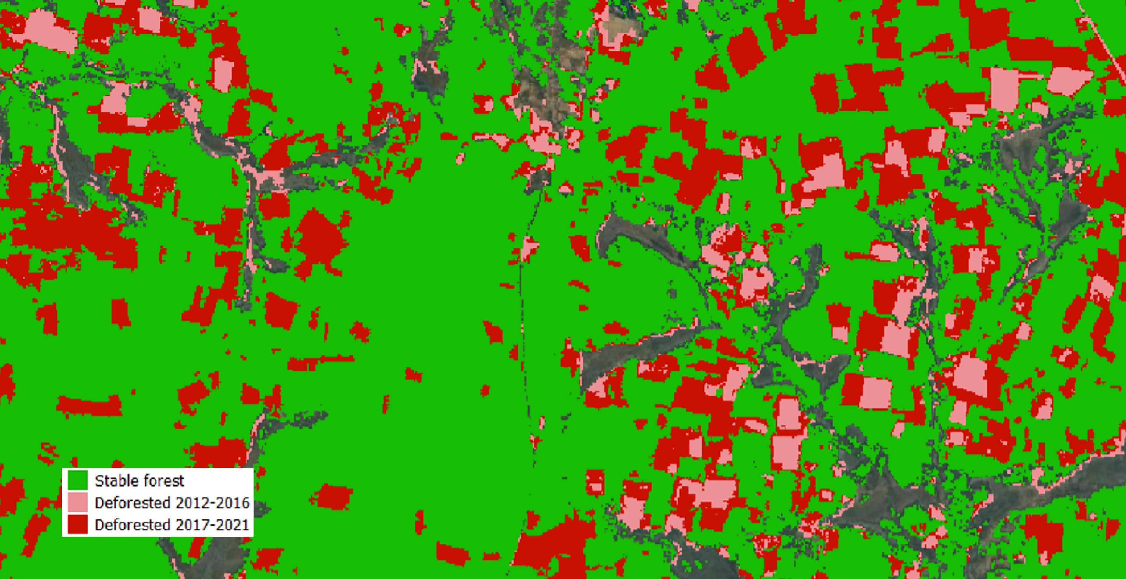
Working closely with the National Forestry Authority (NFA) and the Ministry of Water and Environment (MWE), we developed detailed Standard Operating Procedures, produced forest/non-forest maps for 2011, 2016, and 2020, and carried out sample-based activity data collection for:
- Deforestation
- Stable forest
- Regrowth
Outcomes
Based on the developed Standard Operating Procedures, Arbonaut produced following datasets in collaboration with NFA and MWE:
- Forest cover benchmark maps (FCBM) with full quality assurance, showing areas of stable forest, deforestation and regrowth for the reference period 2011-2020
- Sample based activity data for unplanned deforestation, stable forest, and regrowth (2011-2020)
- Data analysis and uncertainty assessment for all activity data
- Map of exclusion zones
- Map of areas at risk of activity shifting with corresponding emission factor (carbon density)
All produced datasets underwent rigorous quality checks, uncertainty assessments, and deforestation-rate estimations to ensure scientific robustness and full alignment with VCS requirements.
The project strengthened national expertise through targeted capacity-building sessions for the involved GIS staff of the National Forestry Authority and the Ministry of Water and Environment.
All methodologies, results, and technical details were documented in comprehensive final reports submitted to VERRA.


 Cookie Policy