Ahma: A Mobile GIS Application for Field Verification of Forest Data in Finland
Ahma is a custom-built mobile GIS application developed for the Finnish Forest Centre to support field verification and updates of forest resource information and environmentally important habitats.
The application enables field staff to conveniently check, correct, and enrich data while also assessing the quality of forest resource and operation data produced through remote sensing.
What is Ahma
Ahma is built using open-source technologies and cloud infrastructure, ensuring flexibility, scalability, and long-term maintainability. The system consists of:
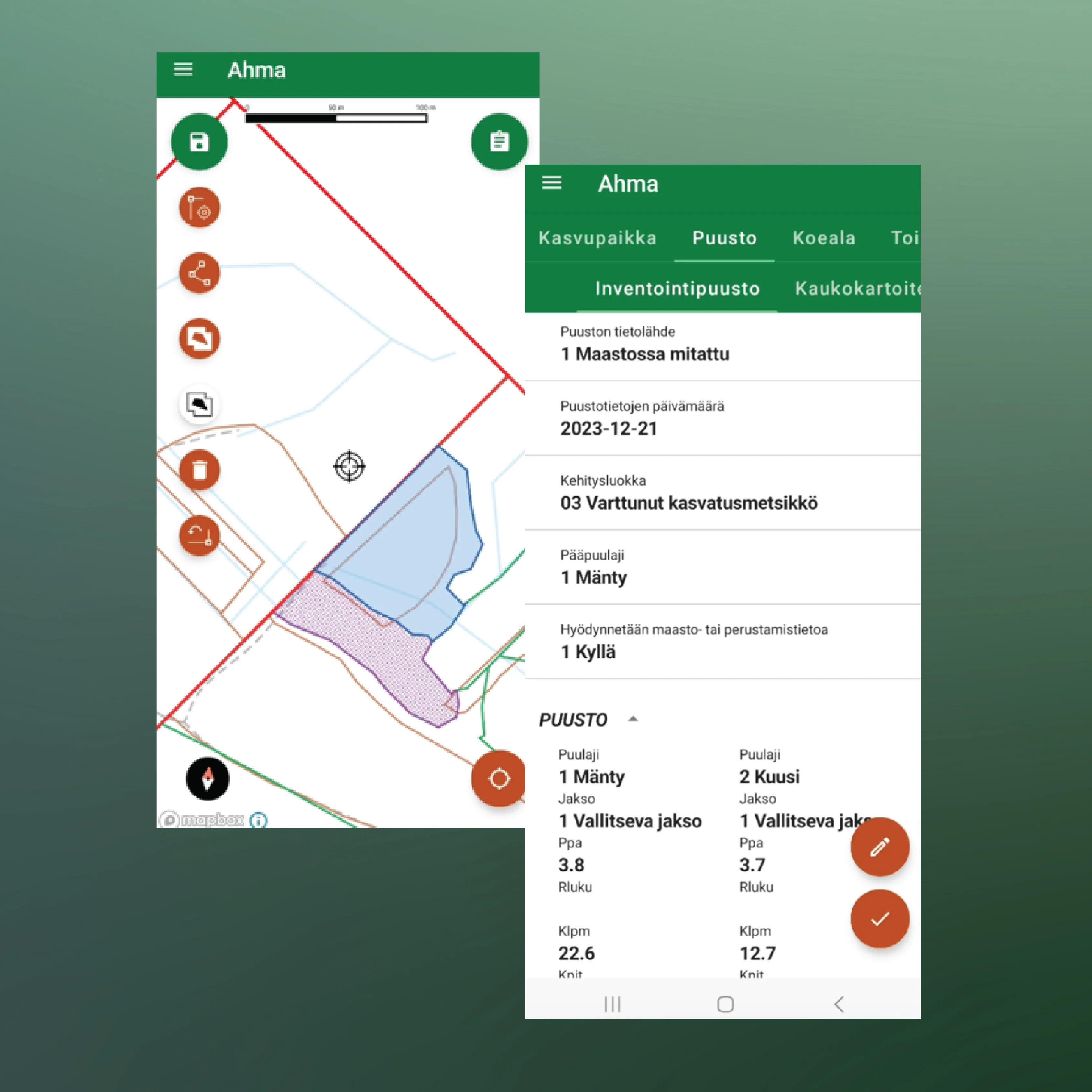
- Mobile application for Android devices
- Web application for task management and data review
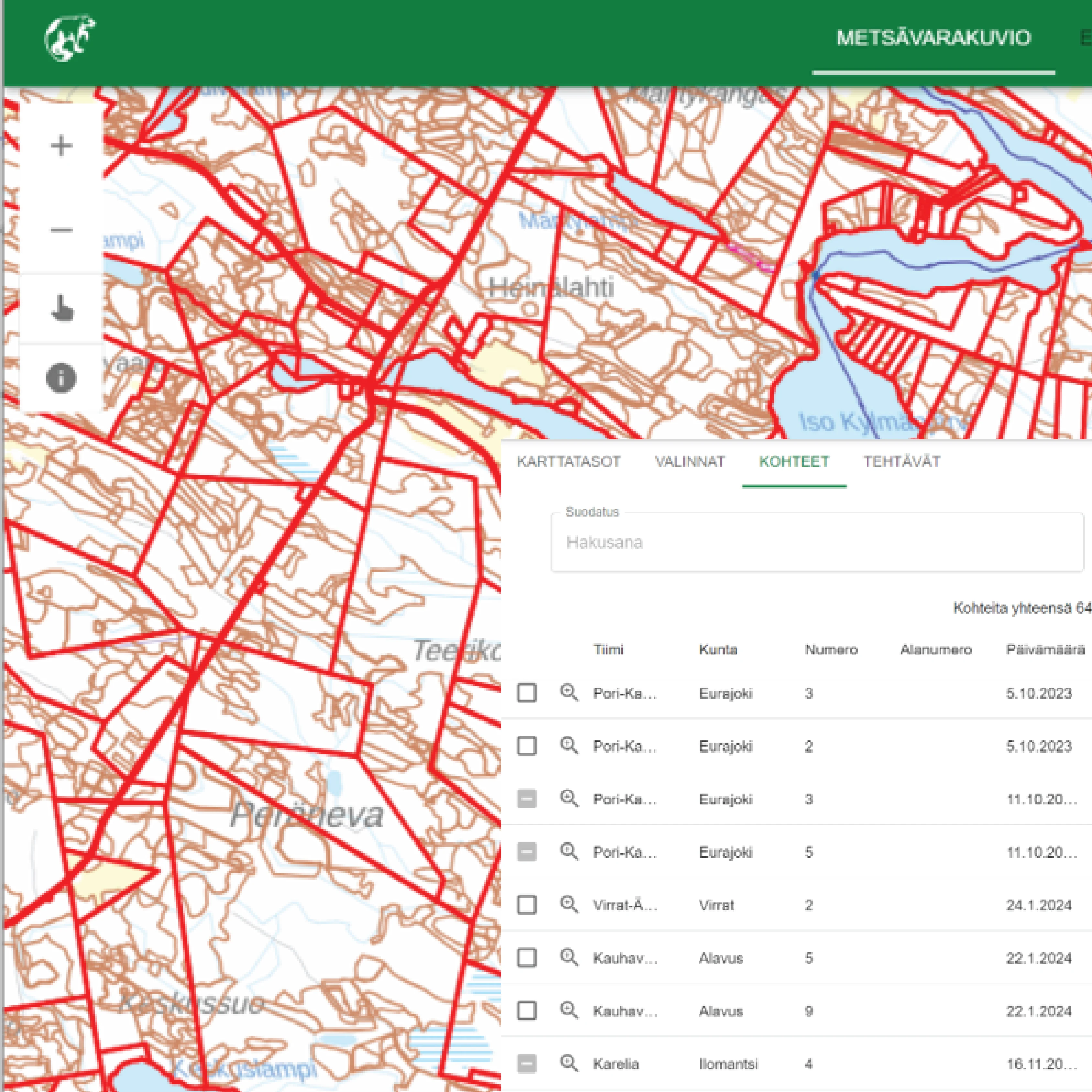
A web-based platform
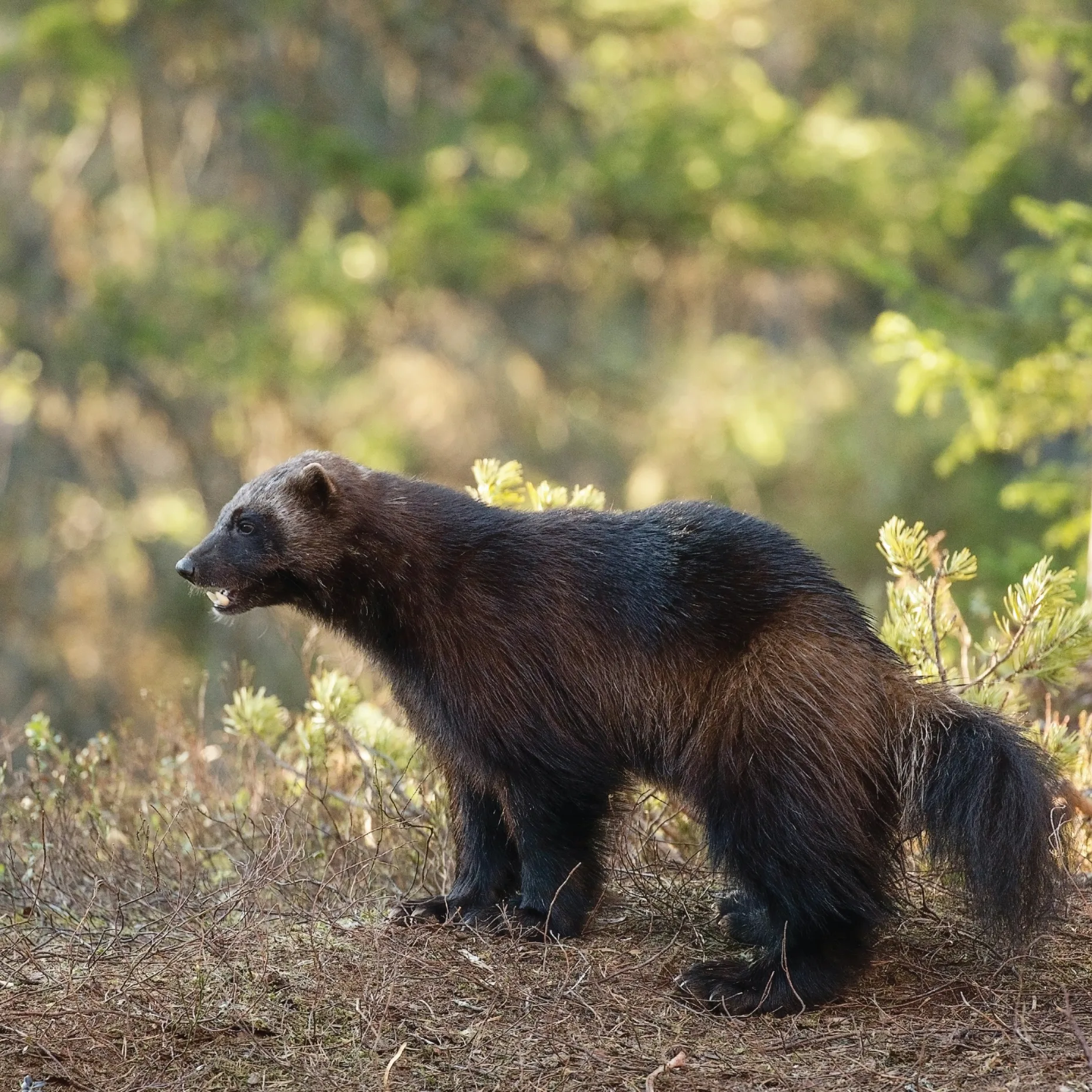
The app’s name comes from the English word ‘wolverine’
Ahma's mobile application
200 users leverage Ahma's functionalities
Fieldwork can be carried out offline, allowing inspectors to work reliably even in remote areas. What Ahma enables in the field:
- Select stands and environmentally important habitats for field inspection
- Send planned fieldwork tasks to the mobile app
- Collect and update stand-level forest resource data, both spatial and attribute information
- Update information on environmentally important habitats directly in the field
- Collect sample‑plot measurements
- Evaluate the quality of remote‑sensing–based forest resource and operation data
- Synchronize all collected data back to the central server
The app’s capabilities are helping ensure that forest resource data and habitat information are consistently monitored, updated, and validated across Finland.
“Our data collection teams are very pleased with Ahma as a modern, user-friendly and reliable field application.” — Tapani Hämäläinen, Chief Digital Officer Finnish Forest Centre
 Cookie Policy