


HiCONNECTS: Demonstrating Real-Time Wildfire Intelligence Through Edge Computing, Drones and Geospatial Data Integration
Arbonaut is a partner in the HiCONNECTS consortium, a European initiative focused on next-generation connectivity, edge computing, and intelligent digital services. The project brings together organizations from industry, research, and technology sectors to explore how advanced connectivity solutions can be applied to real-world operational challenges.
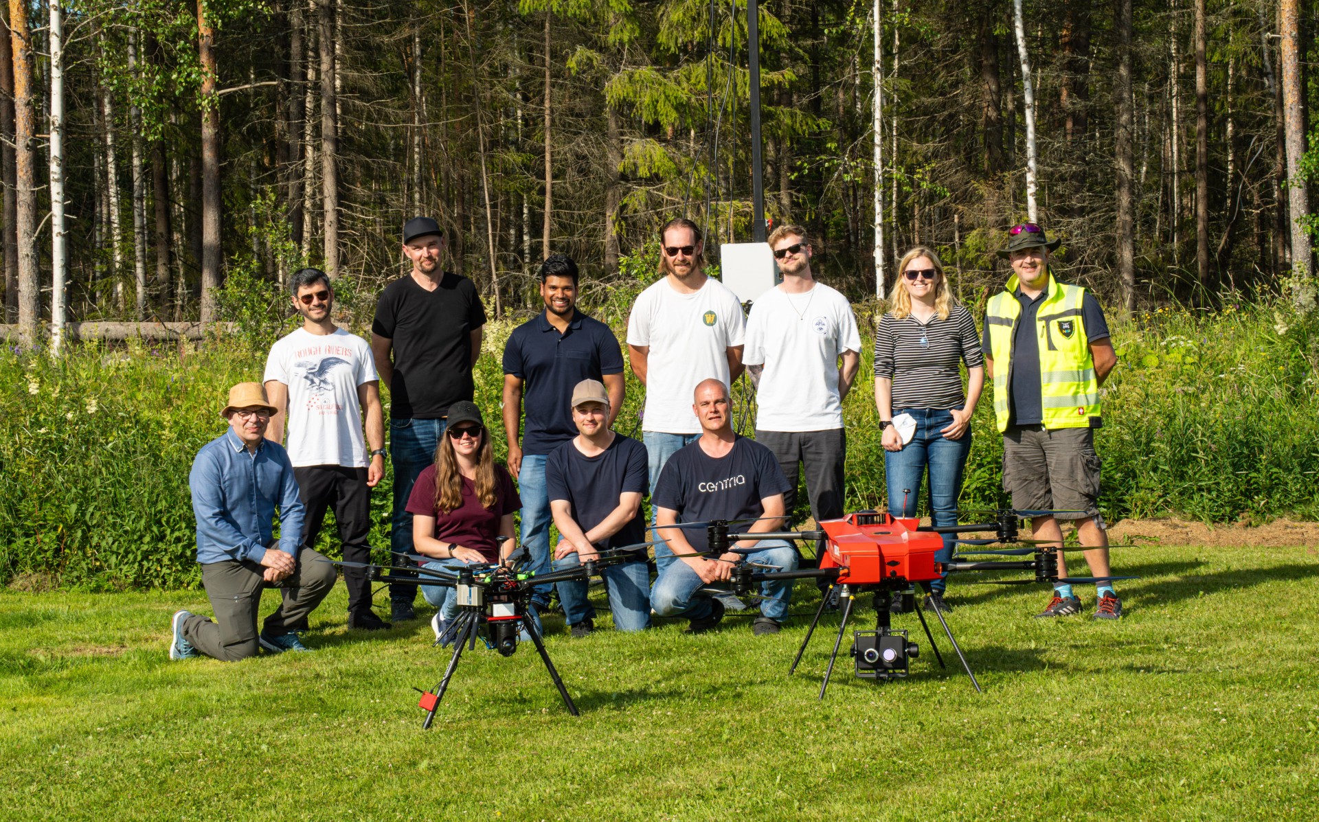
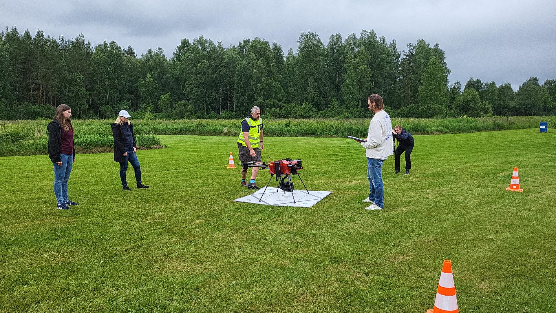
Within HiCONNECTS, Arbonaut contributed a wildfire management demonstration that combined drone operations, edge computing, geospatial analytics, and real-time environmental monitoring. The objective was to investigate how data collected from multiple sources can be integrated into a common operational picture to support situational awareness and decision-making during wildfire events.
The demonstration validated the integration of drone-collected data, wildfire intelligence, and environmental information within a connected digital workflow. By enabling near real-time data transfer, processing, and visualization, the project showcased how emerging connectivity and edge-computing technologies can support the delivery of timely information to operational stakeholders.
Beyond the technical outcomes, the work highlights the value of European collaboration in bringing together complementary expertise from connectivity, digital technologies, and environmental applications. The HiCONNECTS demonstration provided an opportunity to test and validate new approaches in a realistic operational context while contributing to ongoing efforts to strengthen digital resilience and environmental monitoring capabilities across Europe.
Challenge
As wildfire risk increases across Europe, emergency services and land managers require faster access to reliable situational awareness and wildfire intelligence. Traditional workflows often involve multiple disconnected systems, manual data transfers, and delays between data collection and decision-making.
For operational wildfire management, the ability to rapidly collect, process, and distribute information is critical. Decision-makers need access to up-to-date information on fire locations, vegetation conditions, and environmental risk factors to support resource allocation and emergency response.
The HiCONNECTS project required an integrated solution capable of:
- Supporting real-time wildfire monitoring and situational awareness.
- Enabling seamless integration between drone operations and geospatial platforms.
- Processing environmental intelligence through edge computing infrastructure.
- Delivering up-to-date wildfire and vegetation information to operational users.
- Improving data availability for emergency response and wildfire preparedness.
Solution
The HiCONNECTS consortium developed and demonstrated advanced digital infrastructure that combines connectivity, edge computing, remote sensing, and intelligent data services.
As part of the demonstration, Arbonaut deployed its forest intelligence capabilities through the ProMS platform, which was integrated into the project environment under the ArboFirM demonstration framework. The solution connected drone-based data collection with edge computing infrastructure and geospatial services, enabling information to be processed and shared in near real time.
The demonstration successfully delivered:
- Real-time wildfire location updates through integrated geospatial services.
- Dynamic fuel moisture mapping to support wildfire risk assessment.
- Seamless integration between drone operations and operational data platforms.
- Automated delivery of information layers through the Centria GeoServer environment.
- Edge-computing workflows for faster processing and distribution of environmental intelligence.
The successful field demonstration confirmed that drone-collected data, environmental monitoring products, and operational geospatial systems can function together within a connected digital ecosystem.
The demonstration utilized drone operations to collect environmental information across the test area. Data gathered during flights was successfully transferred, processed, and integrated into operational workflows, supporting near real-time situational awareness.
Wildfire locations generated during the demonstration were continuously updated and distributed through operational data layers. This enabled users to access current information and evaluate evolving conditions as data became available.
Fuel moisture maps generated through the ProMS platform provided additional environmental intelligence for wildfire risk assessment . These products support a better understanding of vegetation conditions that influence fire behaviour, fuel availability, and wildfire susceptibility.
The project demonstrated how edge computing can improve the speed and efficiency of environmental data processing. By bringing computation closer to field operations, the solution reduced delays between data collection, analysis, and information delivery.
Value
The HiCONNECTS demonstration showed how connected technologies can strengthen wildfire preparedness and operational decision-making by providing:
- Faster access to real-time environmental intelligence.
- Improved integration between drones, geospatial systems, and operational platforms.
- Enhanced wildfire monitoring and situational awareness.
- Efficient distribution of wildfire and fuel moisture information.
- Scalable workflows for future emergency response and environmental monitoring applications.
Beyond the immediate demonstration, the project highlights how edge computing, drone-based remote sensing, geospatial analytics, and environmental intelligence can support next-generation wildfire management solutions.
The results provide a foundation for future operational systems capable of delivering real-time decision support for wildfire preparedness, emergency response, and landscape-scale environmental monitoring. The project also demonstrates the value of combining connected digital infrastructure with forest intelligence and wildfire risk assessment capabilities.
While the demonstration successfully validated key technical capabilities, HiCONNECTS remains an ongoing project. Future activities will continue to advance connectivity, edge-computing infrastructure, environmental intelligence, and operational decision-support capabilities. These developments will further strengthen the integration of drone-based observations, geospatial analytics, and real-time environmental monitoring to support next-generation wildfire management and emergency response.
About HiCONNECTS
HiCONNECTS is an ongoing European innovation project focused on advanced connectivity, edge computing, intelligent services, and digital transformation. The project brings together partners from industry, research, and technology organizations to demonstrate how connected digital ecosystems can improve data-driven decision-making across a range of real-world applications, including environmental monitoring, emergency management, and climate resilience.
Learn more about the project: www.hiconnects.org
Project information from Centria.


 Cookie Policy