Tree-Level Forest Inventories
Individual tree detection for decision making.
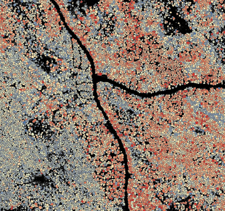
Tree-Level Metrics for Better Forest Inventory Outcomes
Where area-based inventory offers landscape-level metrics, tree-level inventory unlocks stem-by-stem insights. By detecting, segmenting, and analyzing each individual tree across the forest, this method provides detailed information needed to support top-tier management decisions.
Per-tree insights for operations
Maximized value of every stem
20+ points/m² density
Suited best for mature forests
Your Per-Tree Datasets
Tree-, grid, and stand-level products
Tree-level attributes
- Tree-level Height
- Diameter estimates and crown dimensions
- Species classification at the tree scale
- Per-tree volume and biomass modeling
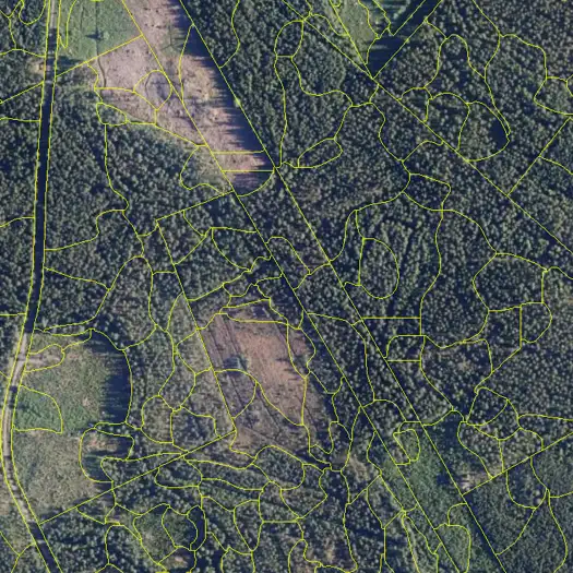
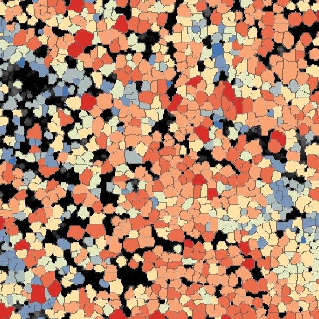
Automatic segmentation
- Crown segmentation and per-tree identification
- Tree-level variables: Height, Density, Species mix
- Features that support forest operations and thinning decisions
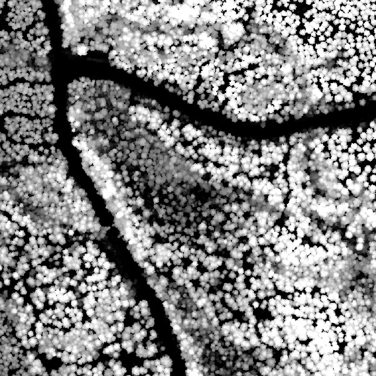
Terrain layers
- Digital Terrain Model (DTM) for precise land elevation
- Digital Surface Model (DSM) for visible canopy surfaces
- Canopy Height Model (CHM) for per-tree height, crown shape, and dominance
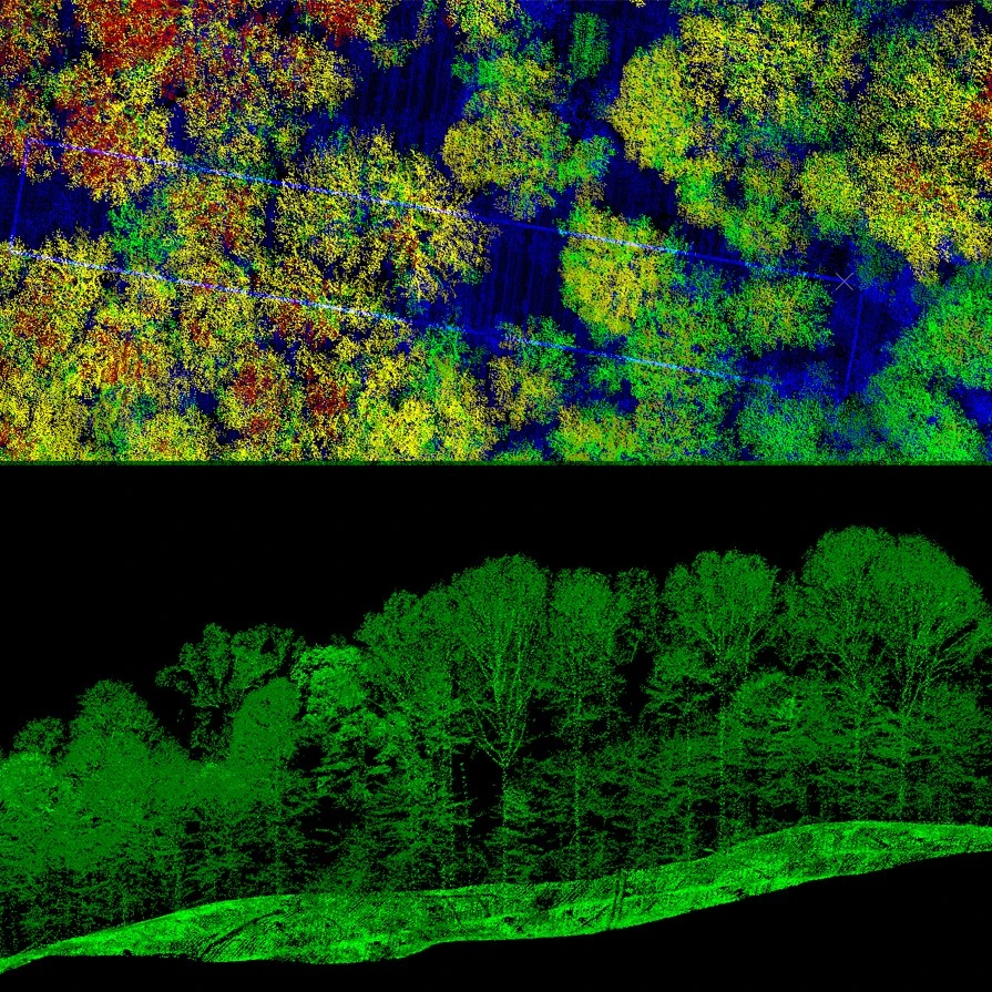
LiDAR-based layers
- Crown structure, canopy density, height extremes, and tree spacing
End-to-End Inventory Process with Arbonaut
-
1. Project design
The process begins with defining goals for a tree-level inventory, as well as your requirements for precision and available resources.
-
2. Data acquisition
Through our international partners, we obtain necessary data: high-density LiDAR, orthophotos, satellite imagery, and field plots.
-
3. Data processing
Collected datasets are processed to produce relevant map layers for individual trees.
-
4. Result calculation
We produce inventory outputs, ensuring a complete set of metrics for every detectable tree.
Transform Your Forest Management
Many organizations are already turning tree-level data into real outcomes. Will you be next?
Frequently Asked Questions
 Cookie Policy