Forest Operation Management
Reduce fieldwork and bring operational planning into the office.
Operational Insights for Smarter Decisions
Our analysis provides accurate data for better silvicultural, felling, wood procurement, and strategic planning. Understanding soil, terrain and moisture conditions helps minimize operational damage and reduce negative impact on tree growth and forest health.
20x more planning efficiency
100% digitized pre-planning
Time-savings in logging-site planning
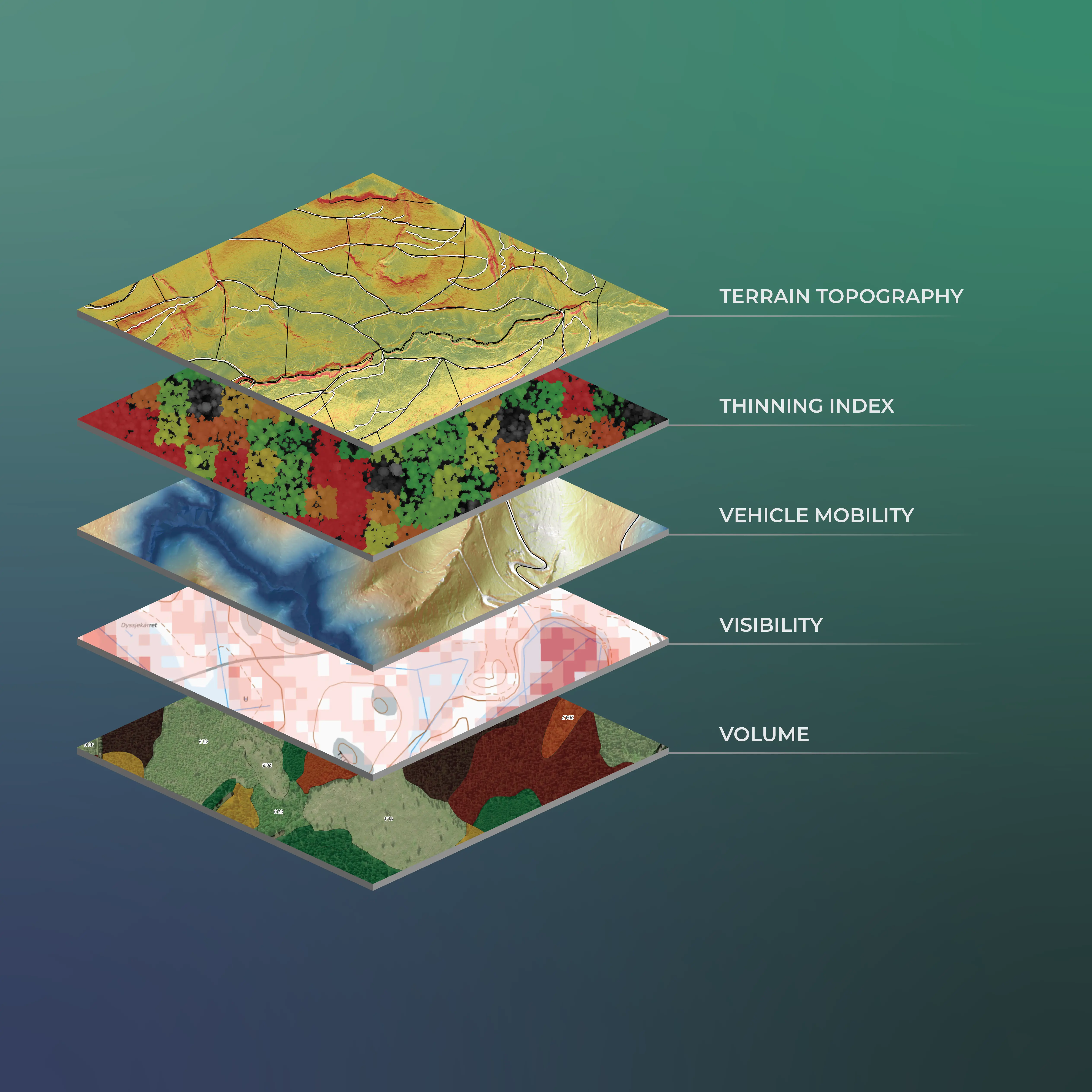
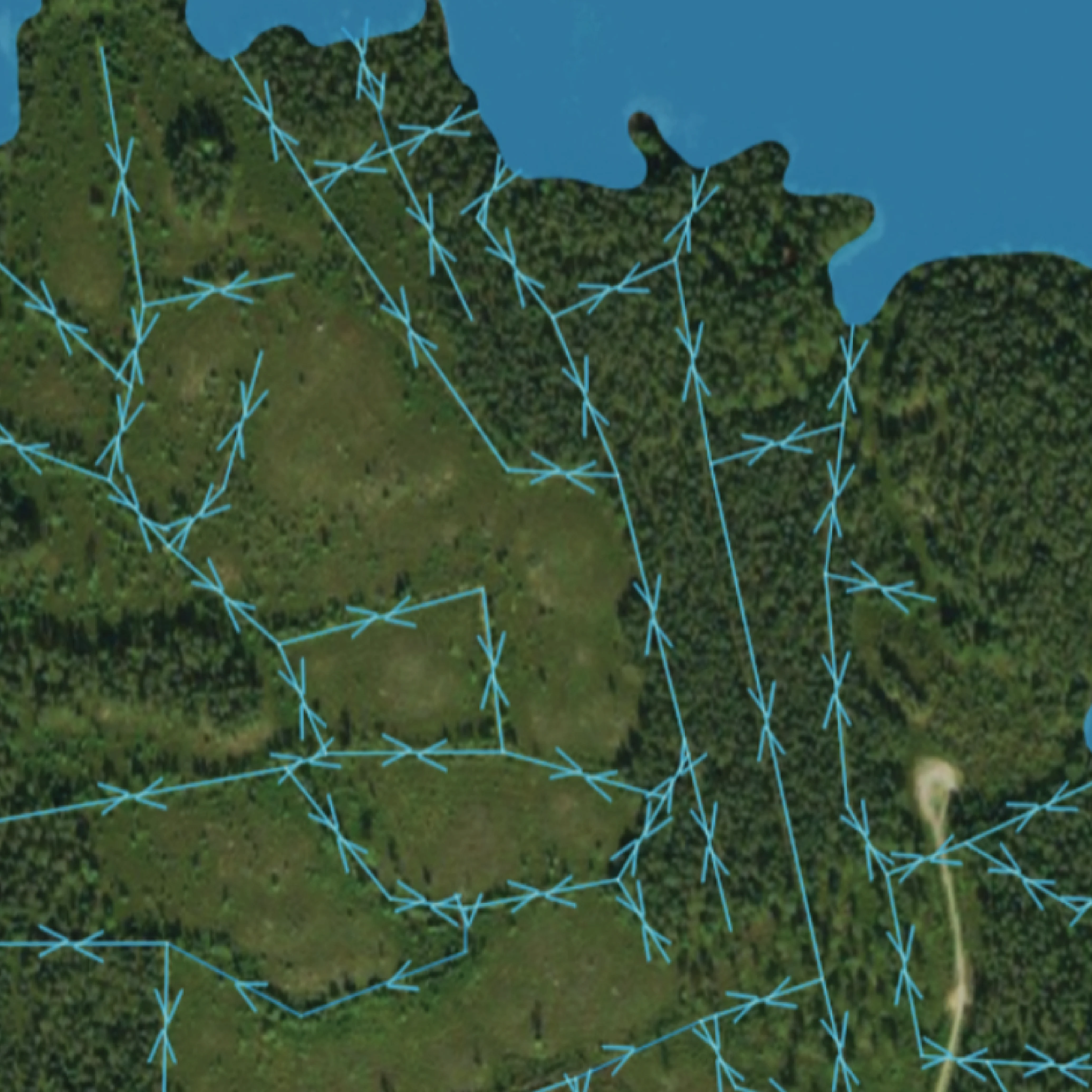
LiDAR Applications in Operational Forestry
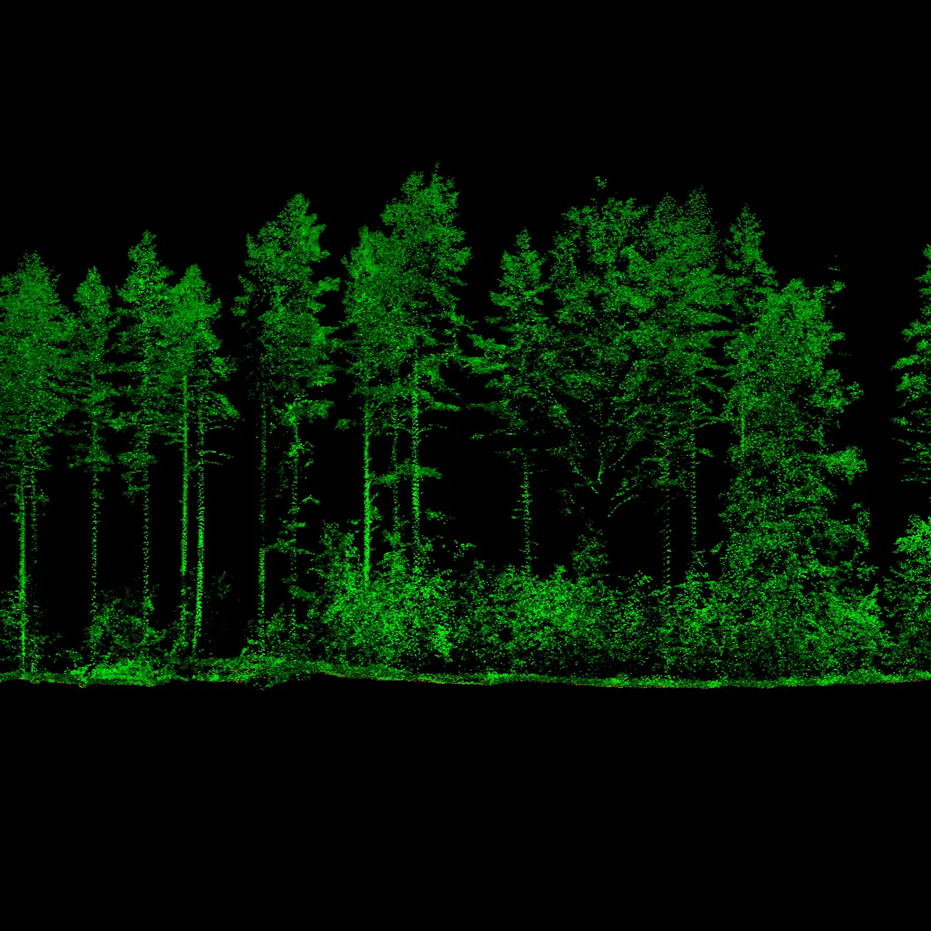
LiDAR datasets for ops
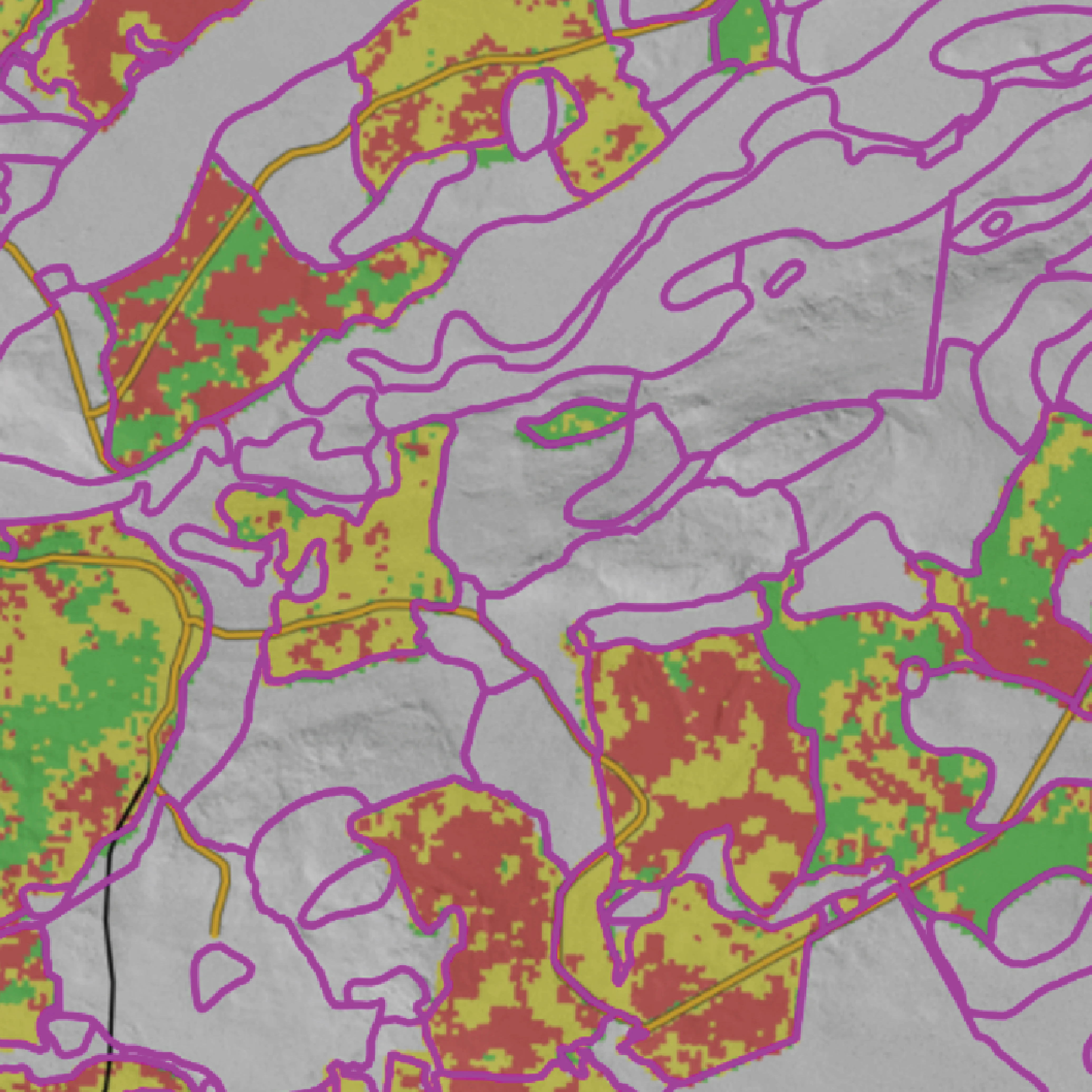
Pre-commercial thinning needs
Pre-commercial thinning workload

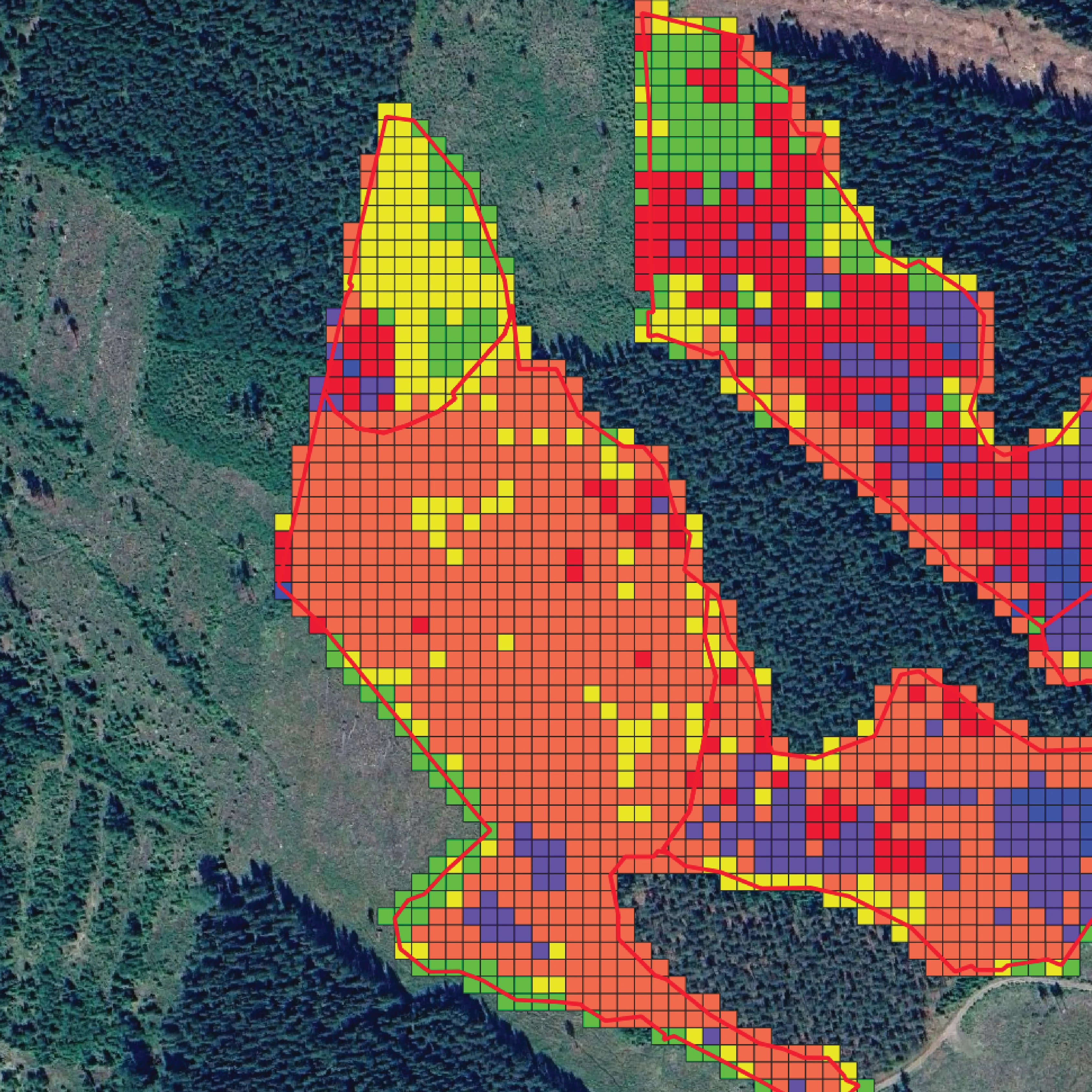
Seasonal harvestability
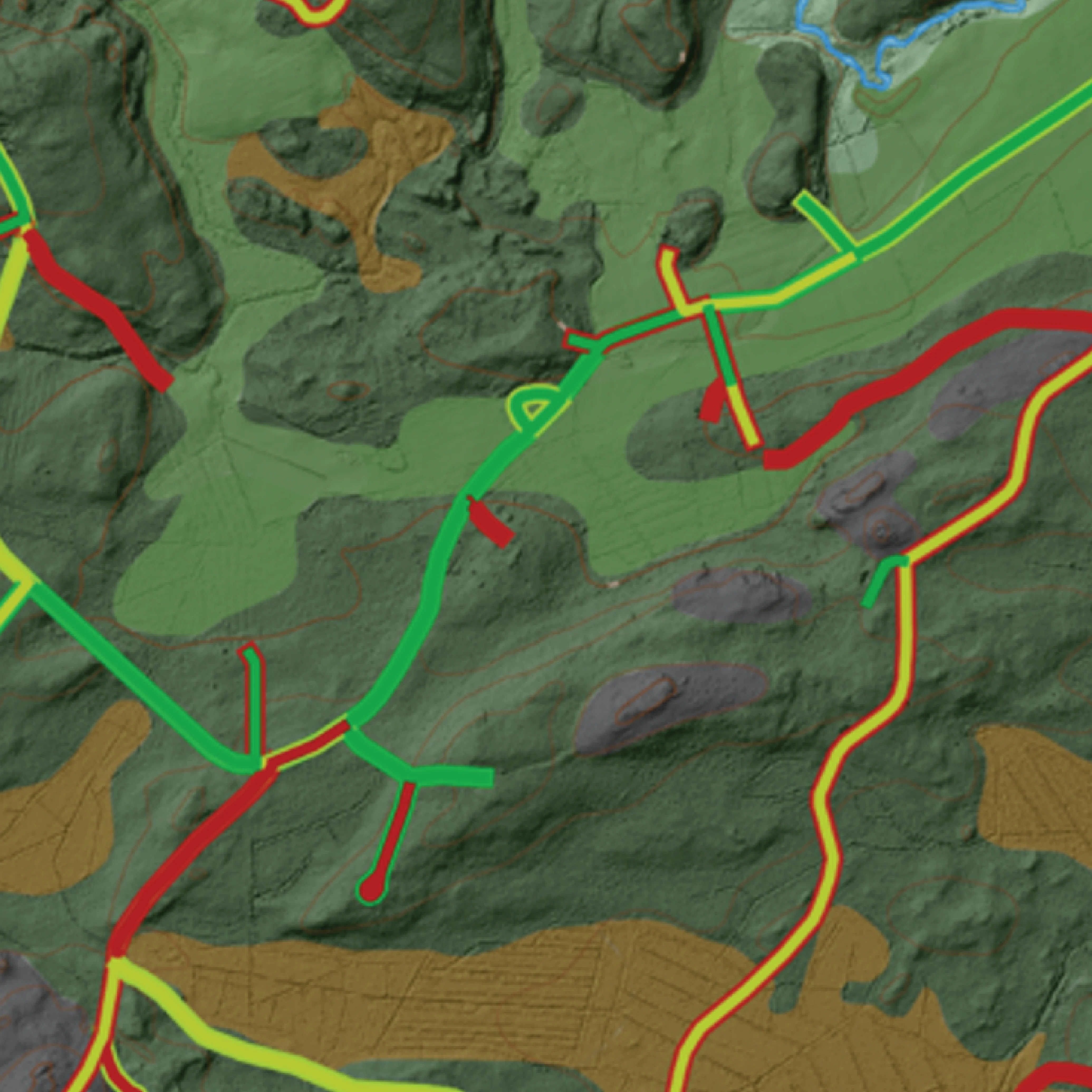
Forest roads analysis
Hydrological connectivity & drainage
 Cookie Policy