Software Solutions
Digital transformation of the forest value chains.
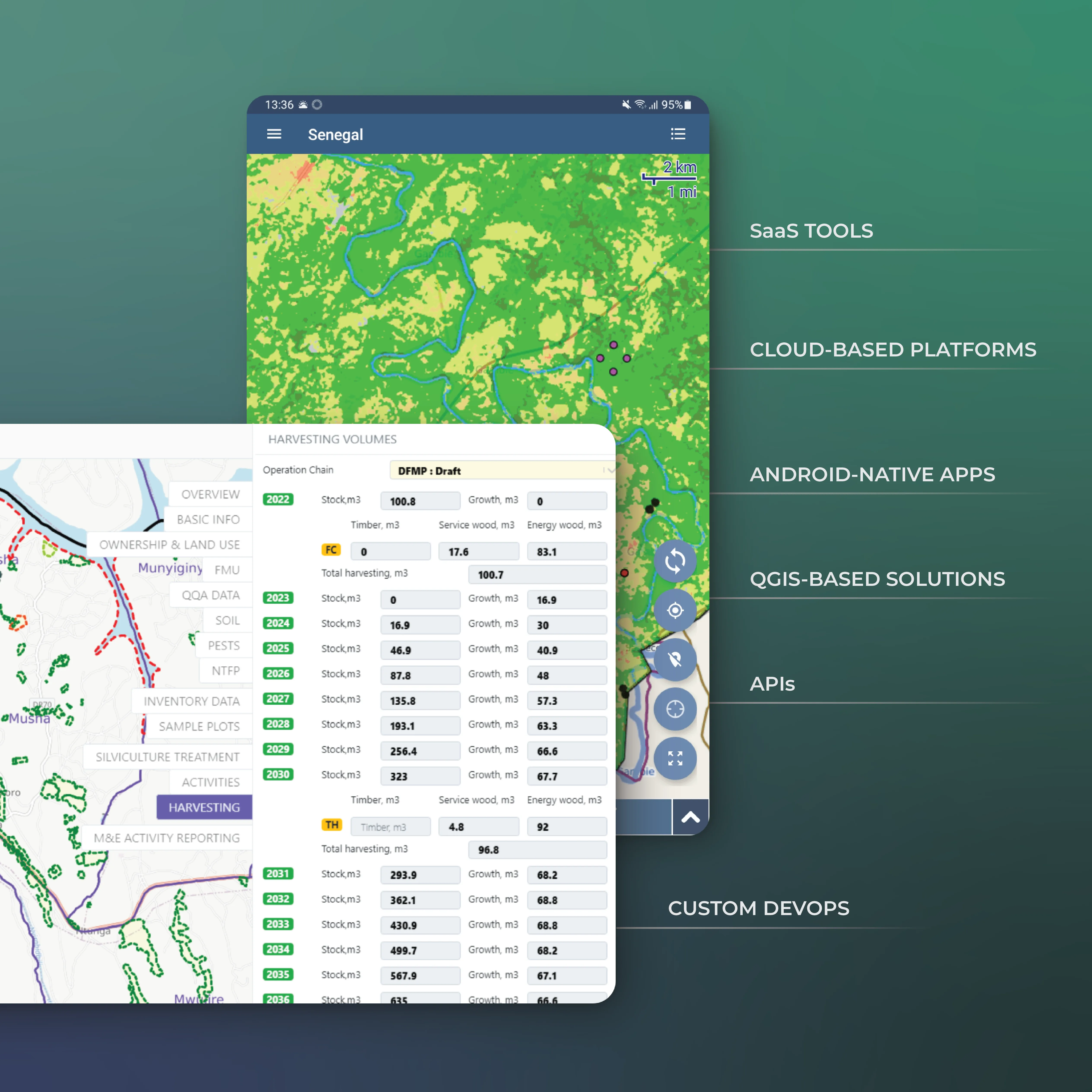
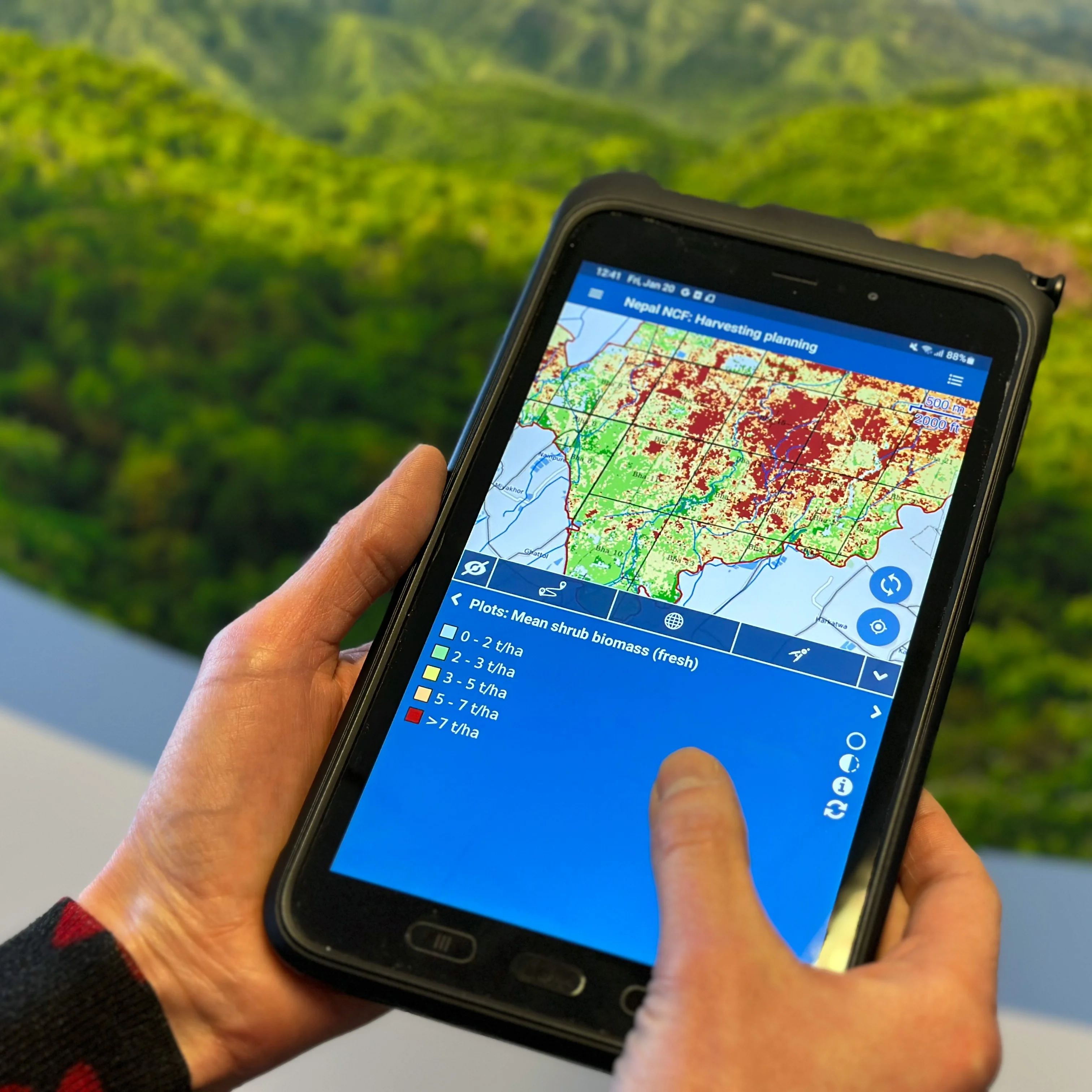
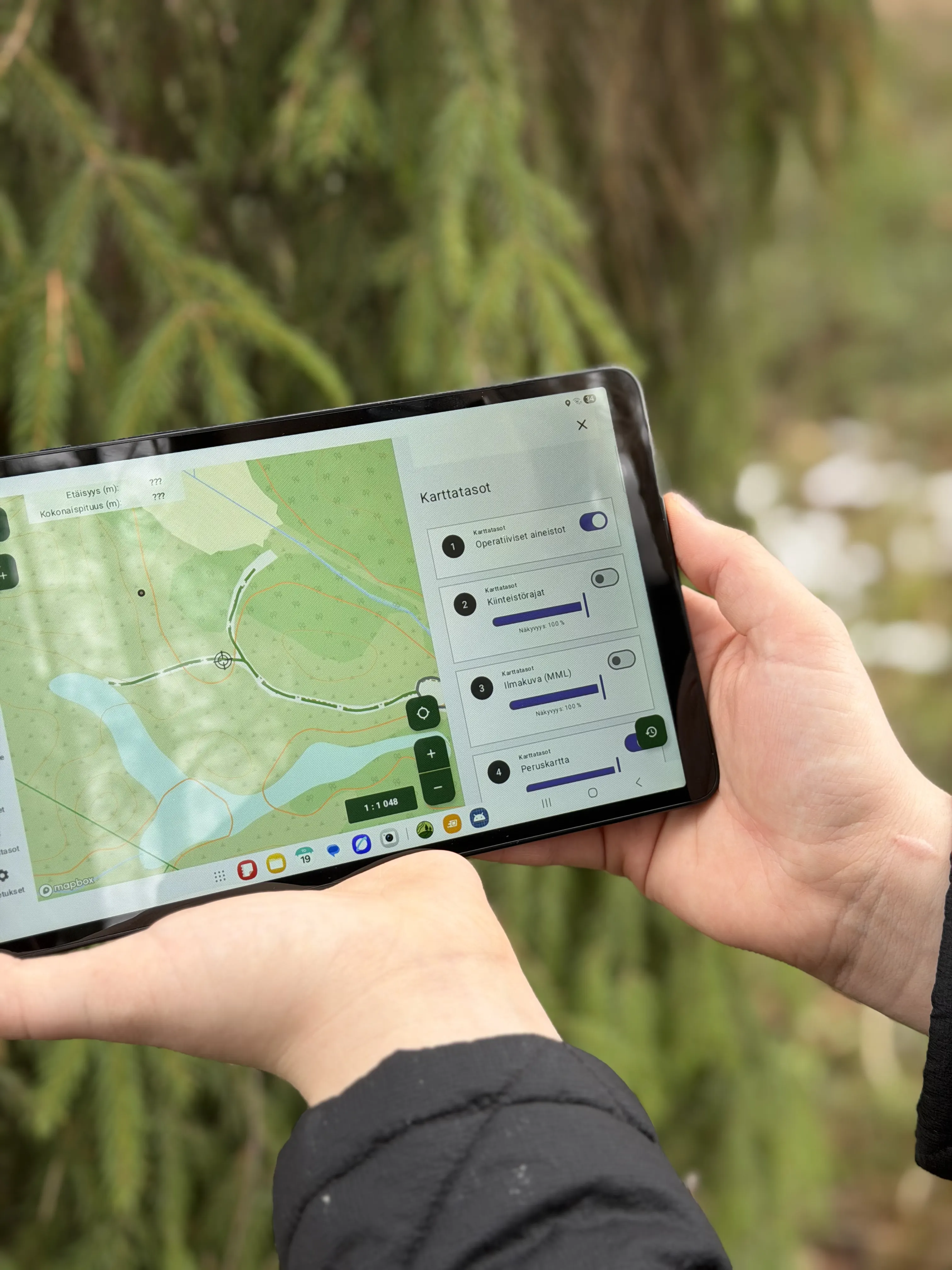
Forestry-Specific IT Systems for Real Impact
Arbonaut delivers web, mobile, and desktop applications to unlock greater value for forest management. We combine our deep forestry expertise with ICT capabilities to drive strong decision-making, transparency, and improved workflows.
Ready-made products for fast adoption
Tailored solutions for unique needs
Modern APIs for system-wide integration
Efficient and scalable map distribution solutions
Building Intelligent Geospatial Data Ecosystems
ProMS
ArboField
ArboAqua
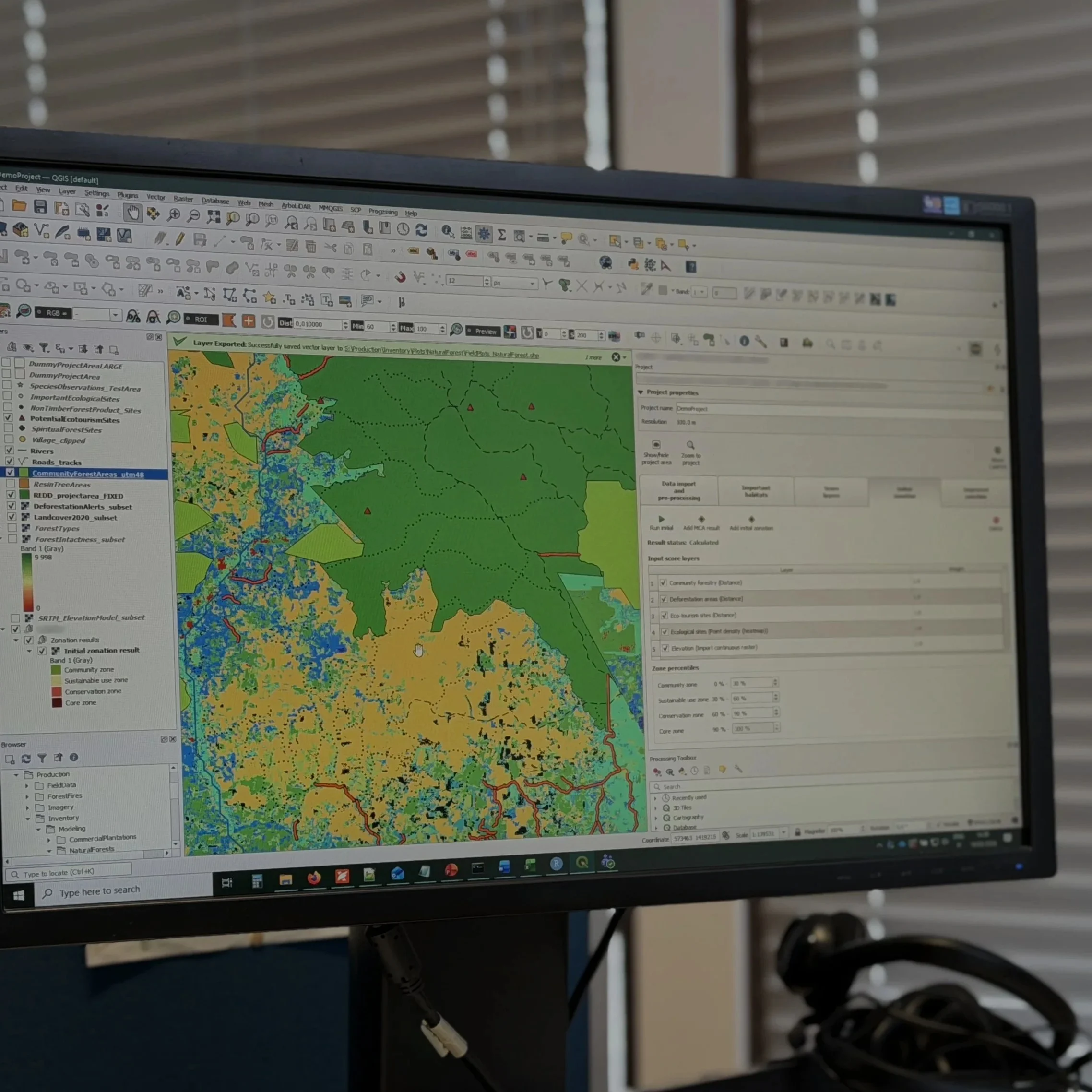
QGIS-based solutions
 Cookie Policy