Area-Based Forest Inventory
Scalable forest insights based on remote sensing and advanced modeling.
The Industry Standard for Large-Scale Forest Mapping
Area-based inventory is a proven, model-driven approach for reliable forest attributes across extensive forest areas. By integrating airborne LiDAR with field measurements and other remote-sensing datasets, we deliver a detailed and objective representation of forest structure.
Landscape-level insights
Efficient for large-scale forests from 10,000 hectares and above
2-10 points/m² density
Forest attributes in 16x16m grid
Your Forest Data Package
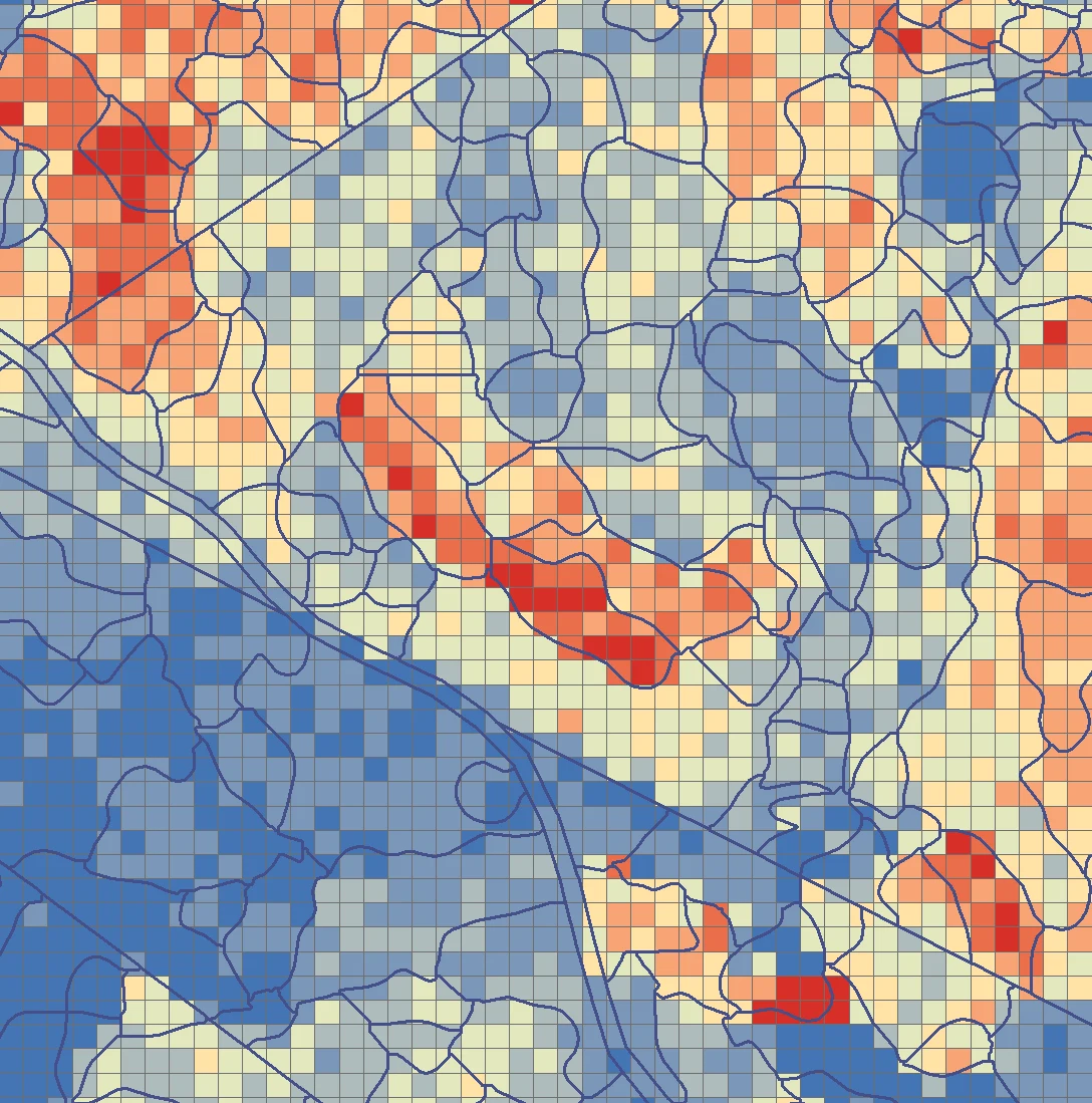
Forest attributes at grid- and stand-levels
- Volume
- Diameter at Breast Height (DBH)
- Tree Height
- Species classification
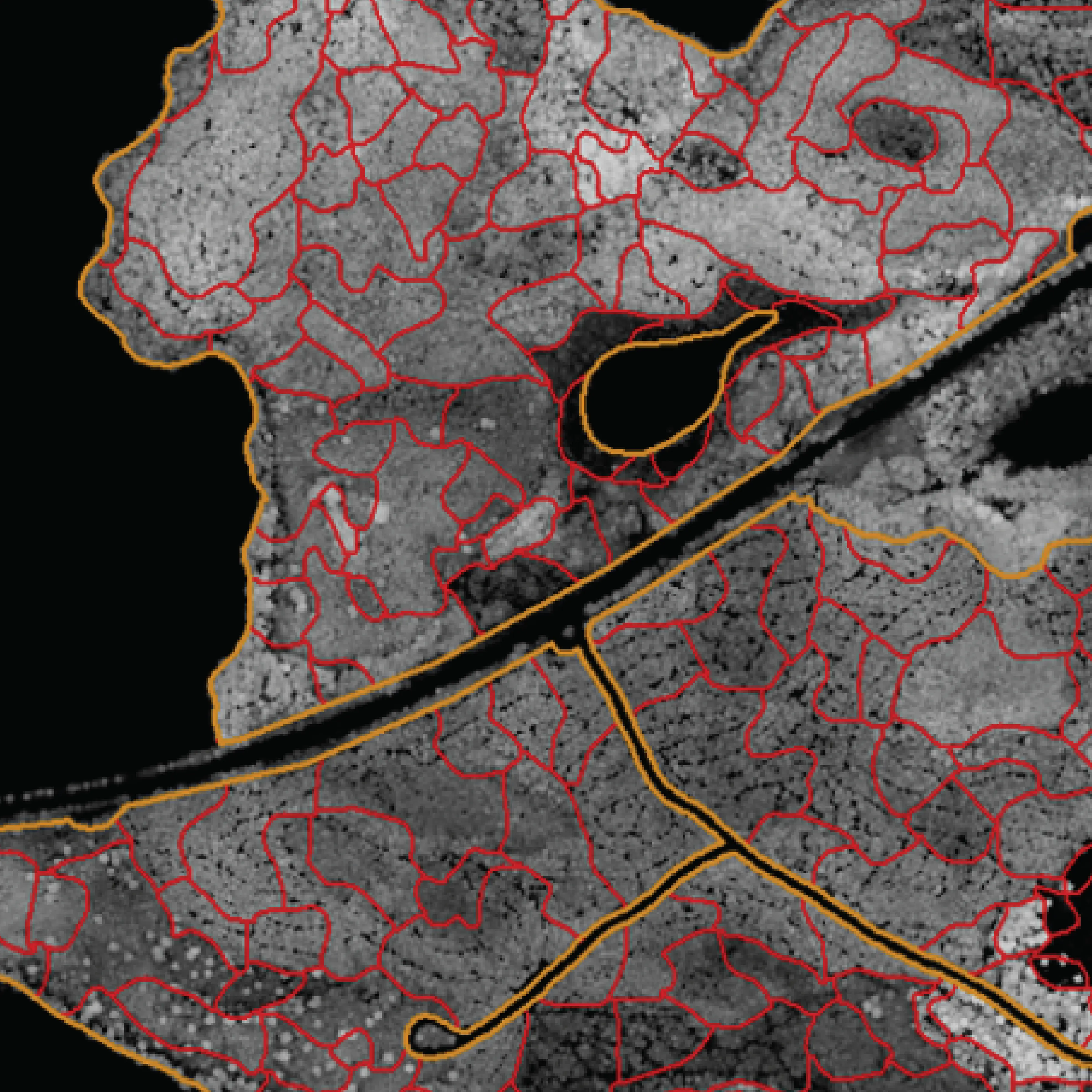
Automatic Segmentation
- Segmentation and classification layers for forest structure and its variability
- Features that delineate forest operations: Height, Density, and Species Proportions
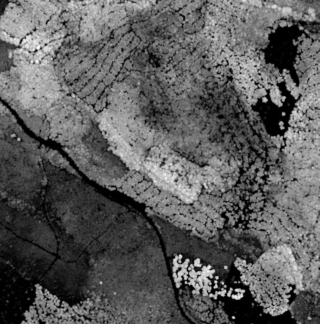
Terrain layers
- Digital Terrain Model (DTM) to reveal precise land elevation when planning operations
- Digital Surface Model (DSM) for the complete view of the landscape.
- Canopy Height Model (CHM) delivers insights into forest structure, biomass, stand development, etc.
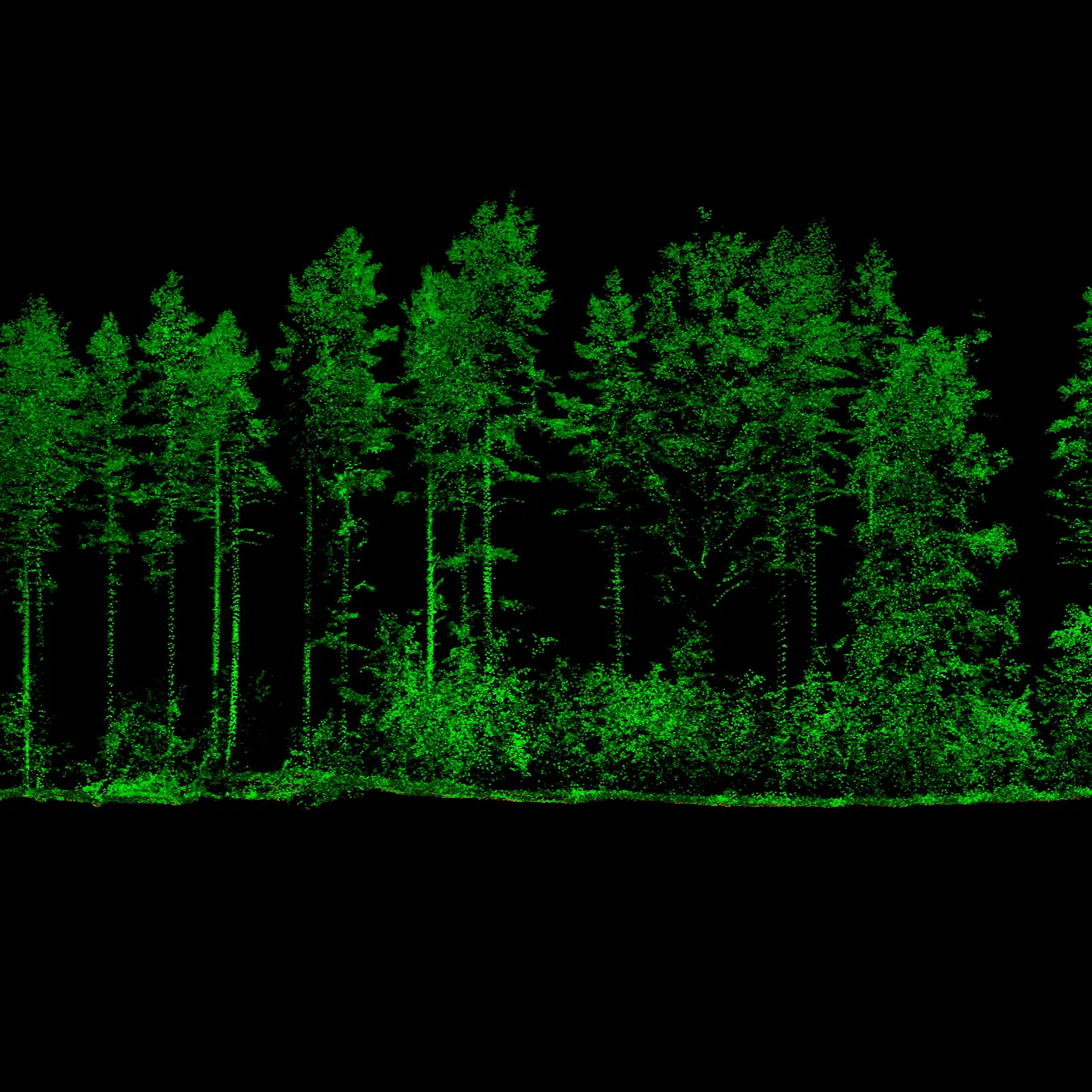
LiDAR-based layers
End-to-End Inventory Process for Forest Intelligence
-
1. Project design
We begin by discussing goals for an area-based inventory. This step aligns your goals with available budget, coverage, and data sources.
-
2. Data acquisition
We coordinate with international data providers to secure needed data for area-wide analysis: LiDAR, orthophotos, satellite imagery, and field plots.
-
3. Data processing
All remote-sensing inputs are processed into map layers.
-
4. Result calculation
We model and calculate stand-level outputs and other forest attributes.
Turn Every Hectare into Insight
Discover what area-based inventories can unlock for you and your forest assets.
Frequently Asked Questions
 Cookie Policy