Plantation Inventories
Actionable outcomes for commercially managed forests.
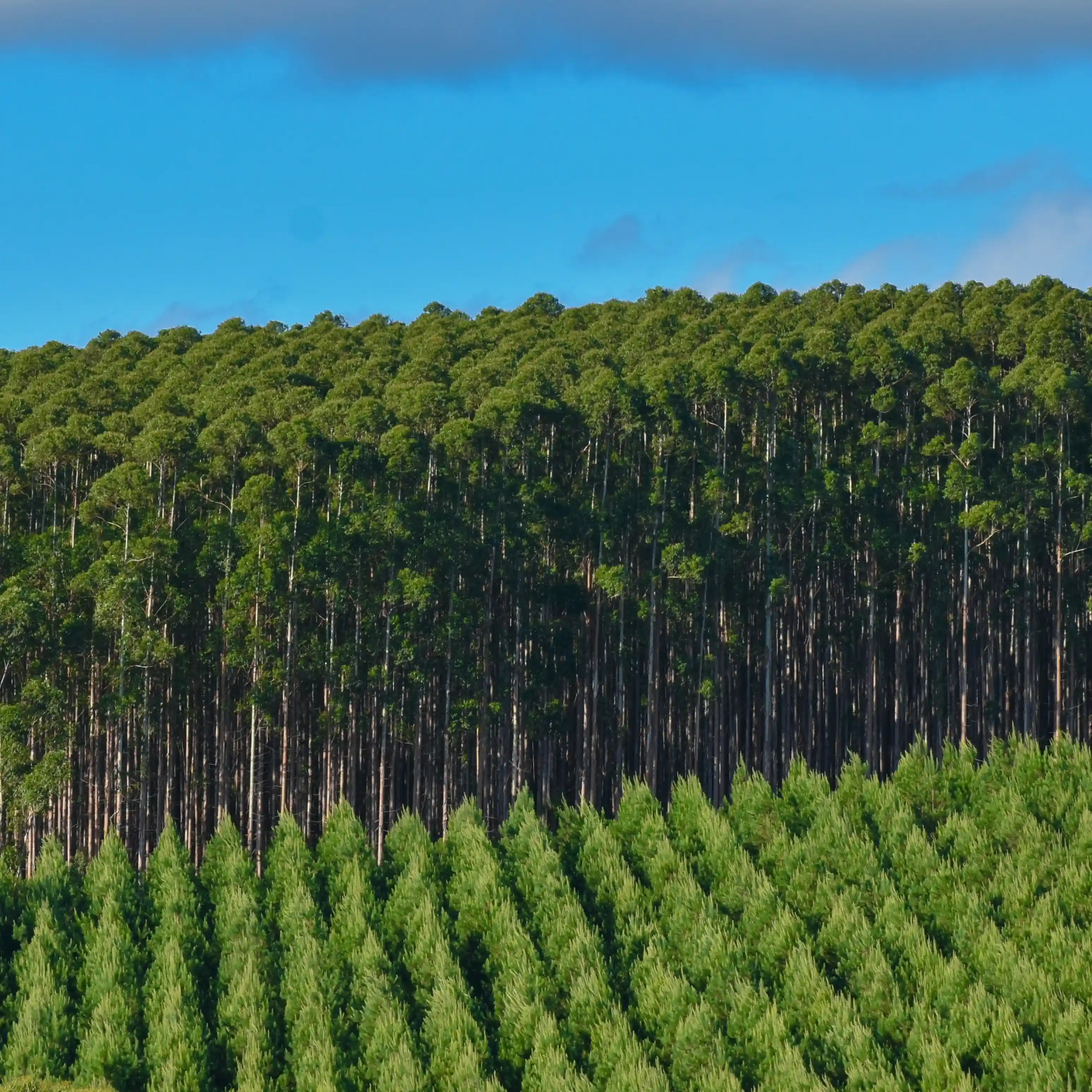
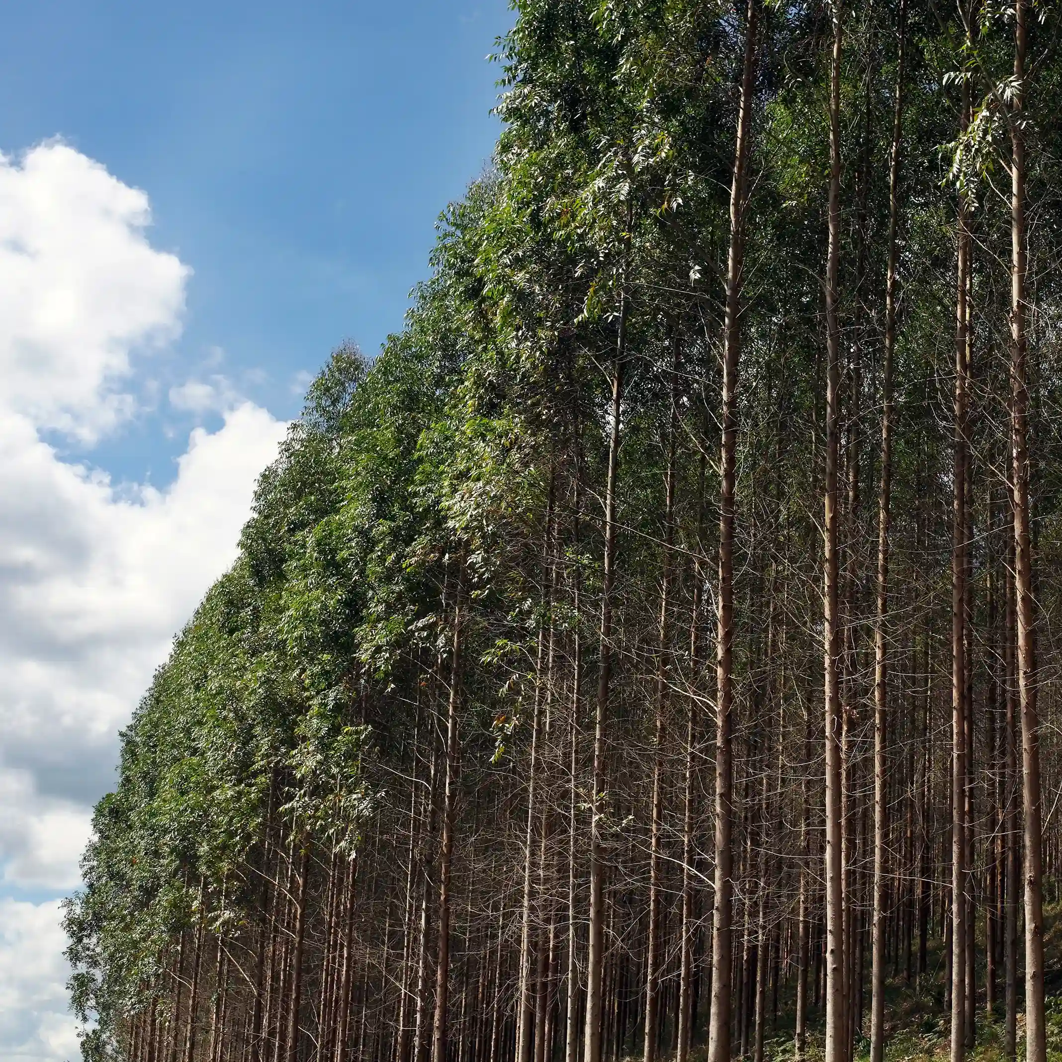
Plantation Inventories for High-Precision Yield Forecasting
Intensively managed plantation forests demand accurate, timely, and repeatable insights. Since plantation stands are typically even‑aged, uniform, and harvested on fixed rotations, LiDAR‑powered inventories offer scalability and effectiveness.
Improve yield estimation accuracy by 10–15% compared to plot-based surveys
Full‑coverage data replaces <1% field sampling for rotation timing and harvest confidence
Strengthen growth forecasts with wall-to wall-height and structure LiDAR data
Automated insights with AI-driven tree counting, stand delineation, and deadwood detection
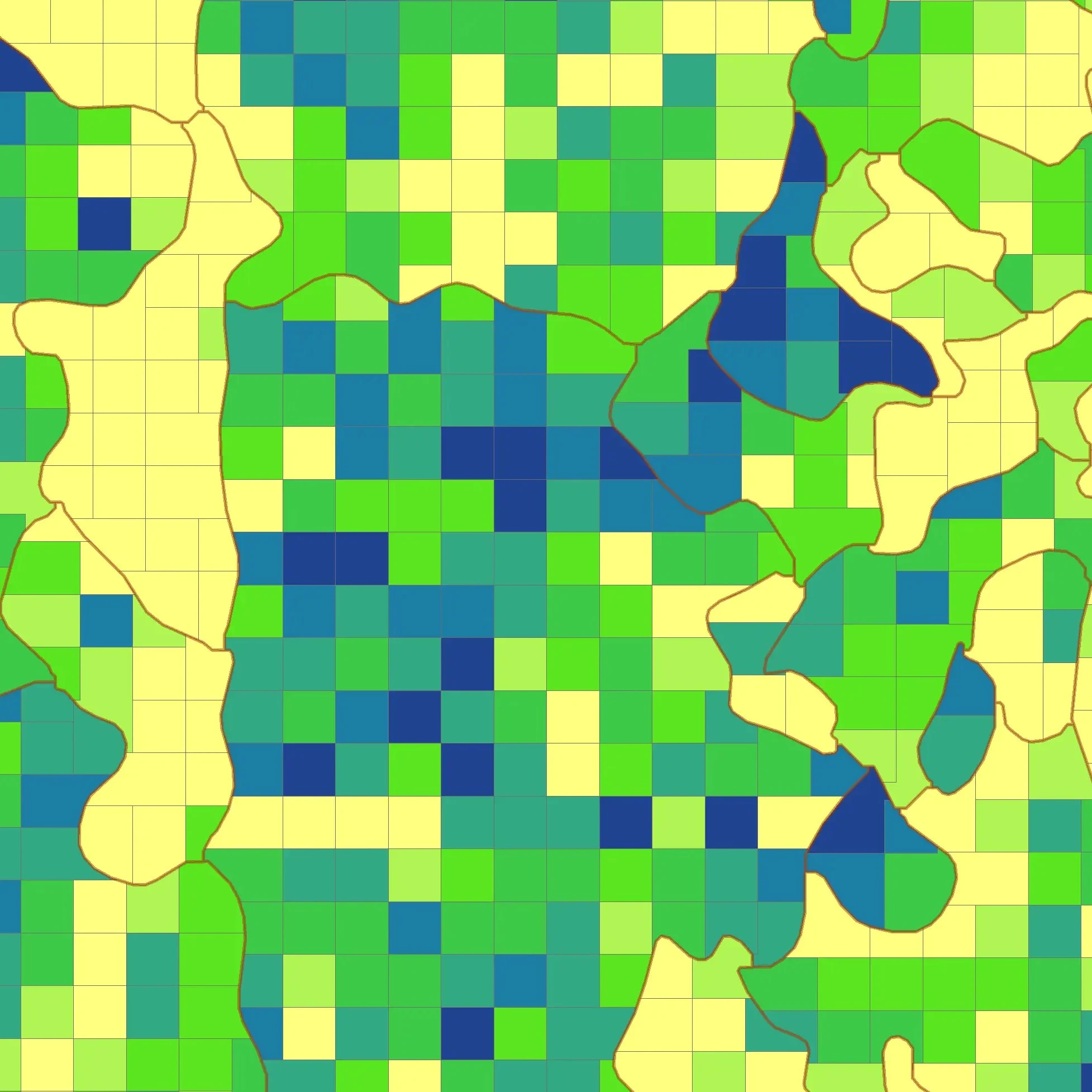
Plantation attributes
- Stand and grid levels
- Height, diameter, total volume
- Tree count
- Commercial volume
- Number of stands per hectare
- Number of trees per hectare
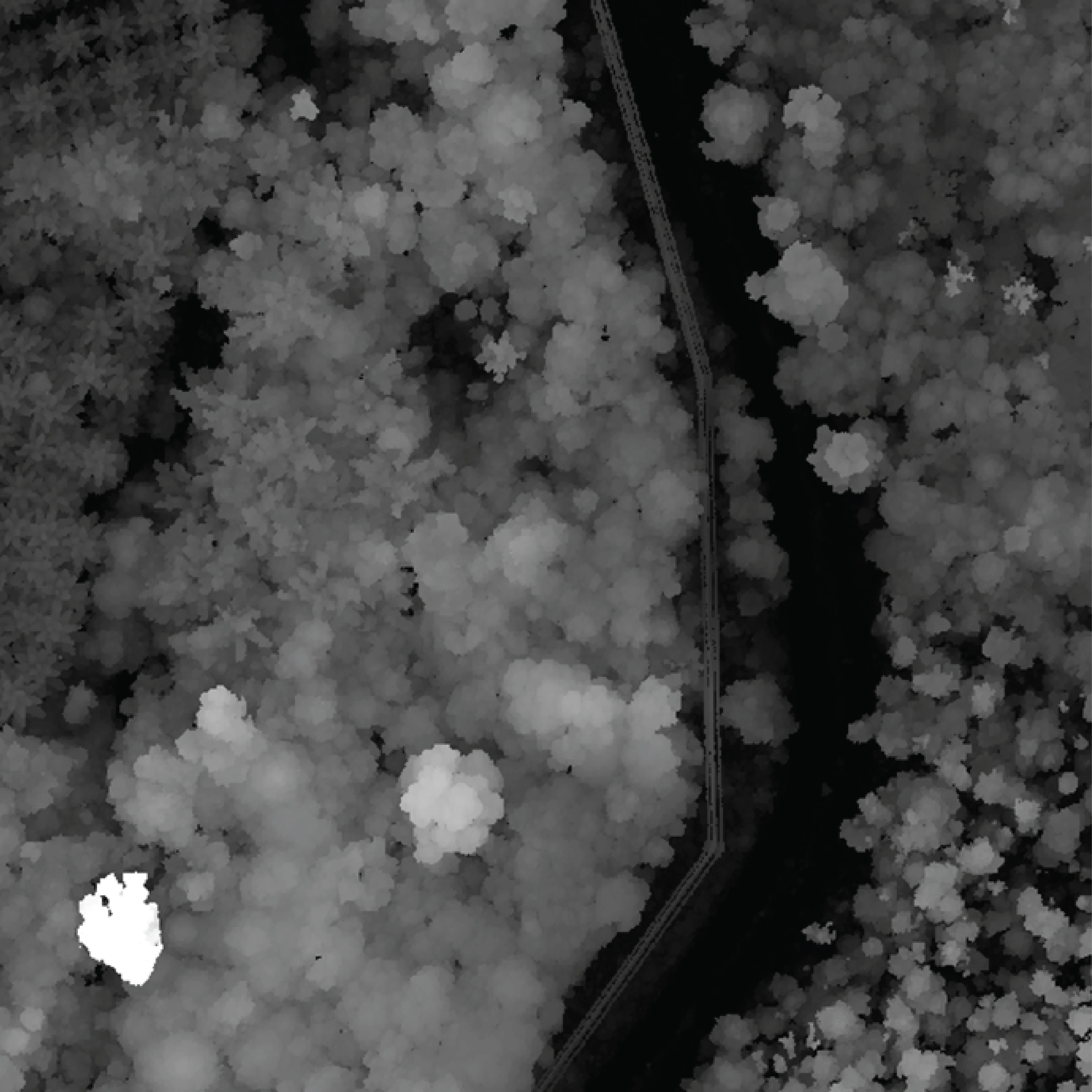
Terrain layers
LiDAR terrain products optimized for plantations.
- Digital Terrain Model (DTM)
- Canopy Height Model (CHM)
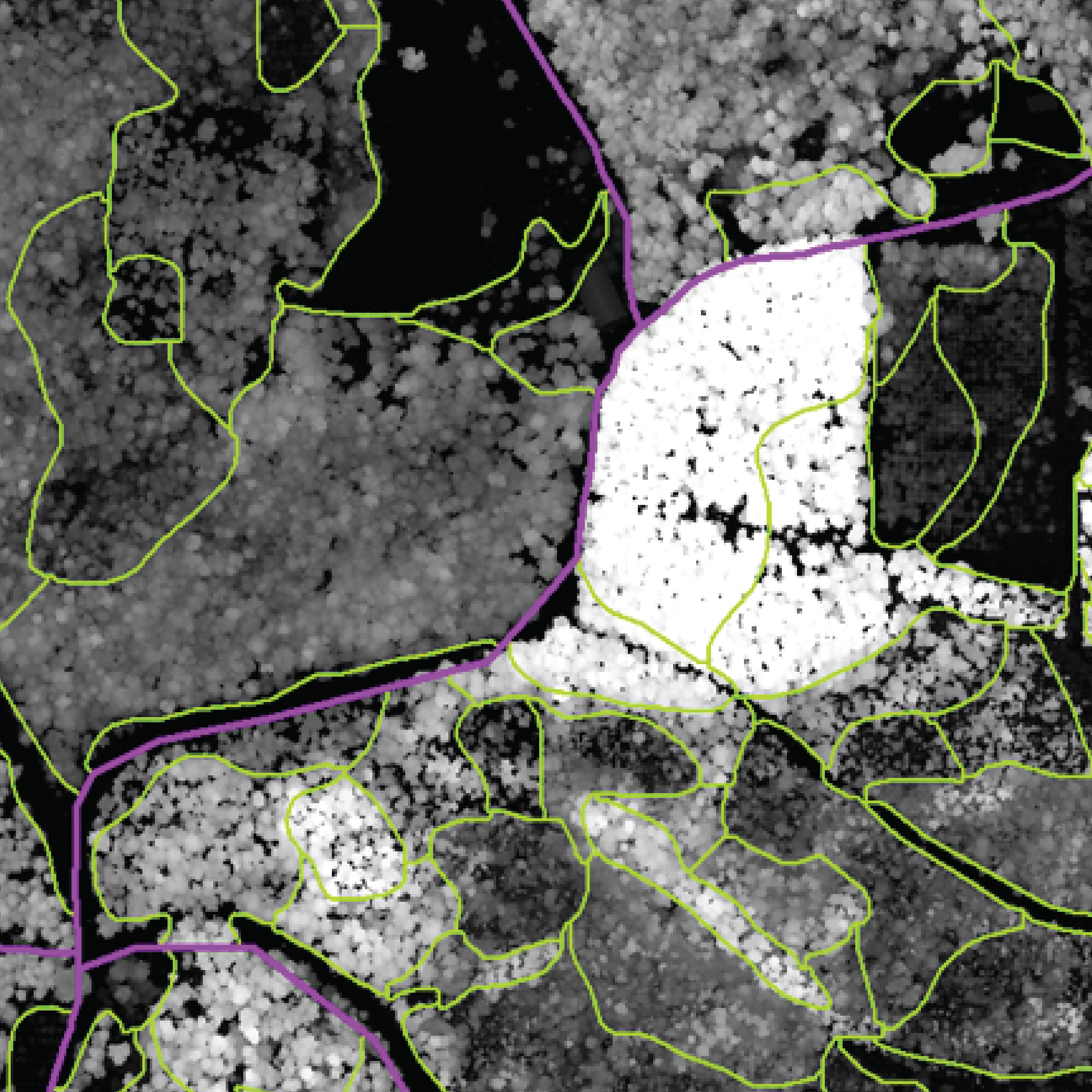
Operational layers
- Vegetation density
- Road network
- Vegetation classification and removal
- Water accumulation and drainage need planning
- Stand delineation
Supporting Every Stage of the Plantation Lifecycle
-
Plantation planning
Land preparation needs, compartment optimization, water regime, roads, and terrain conditions.
-
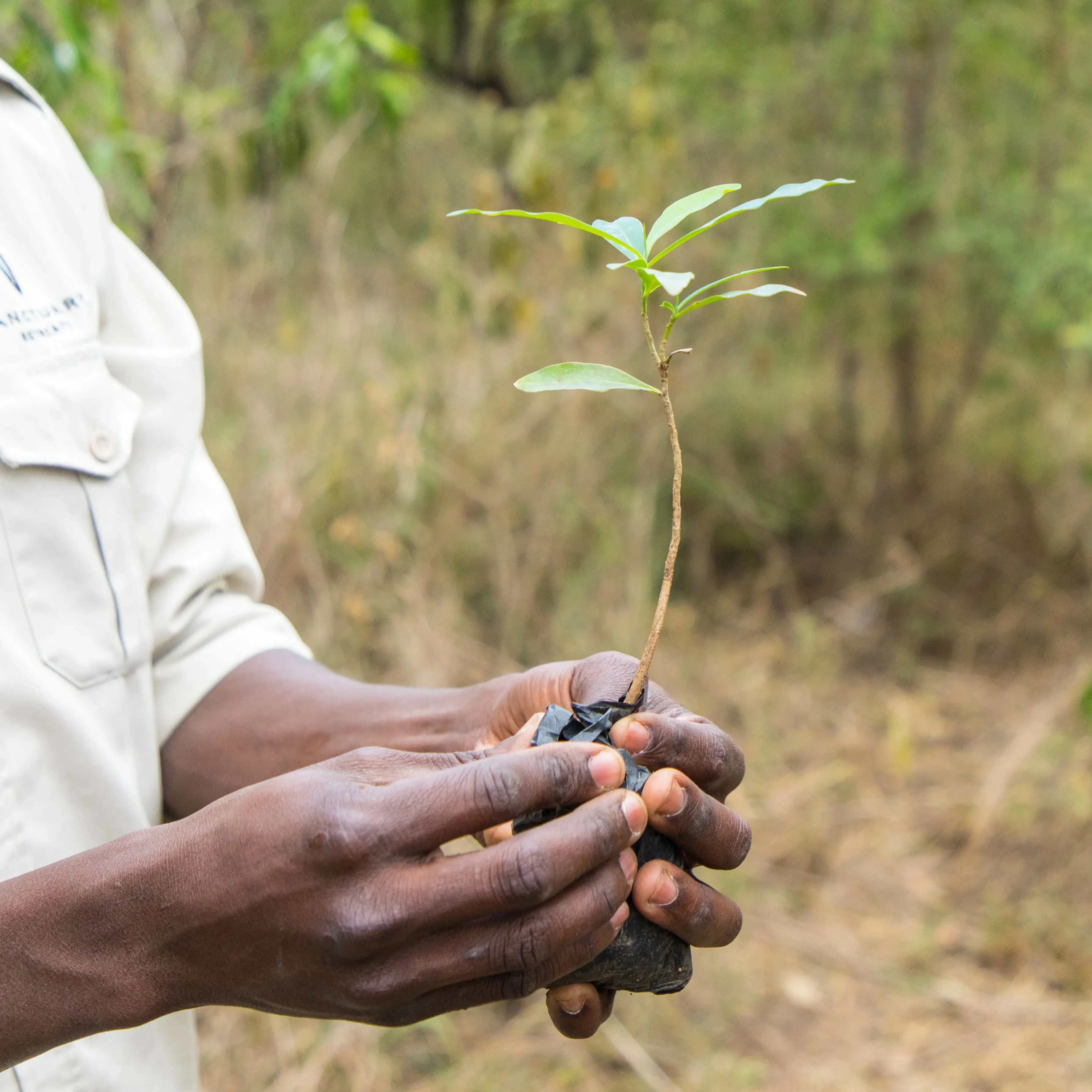
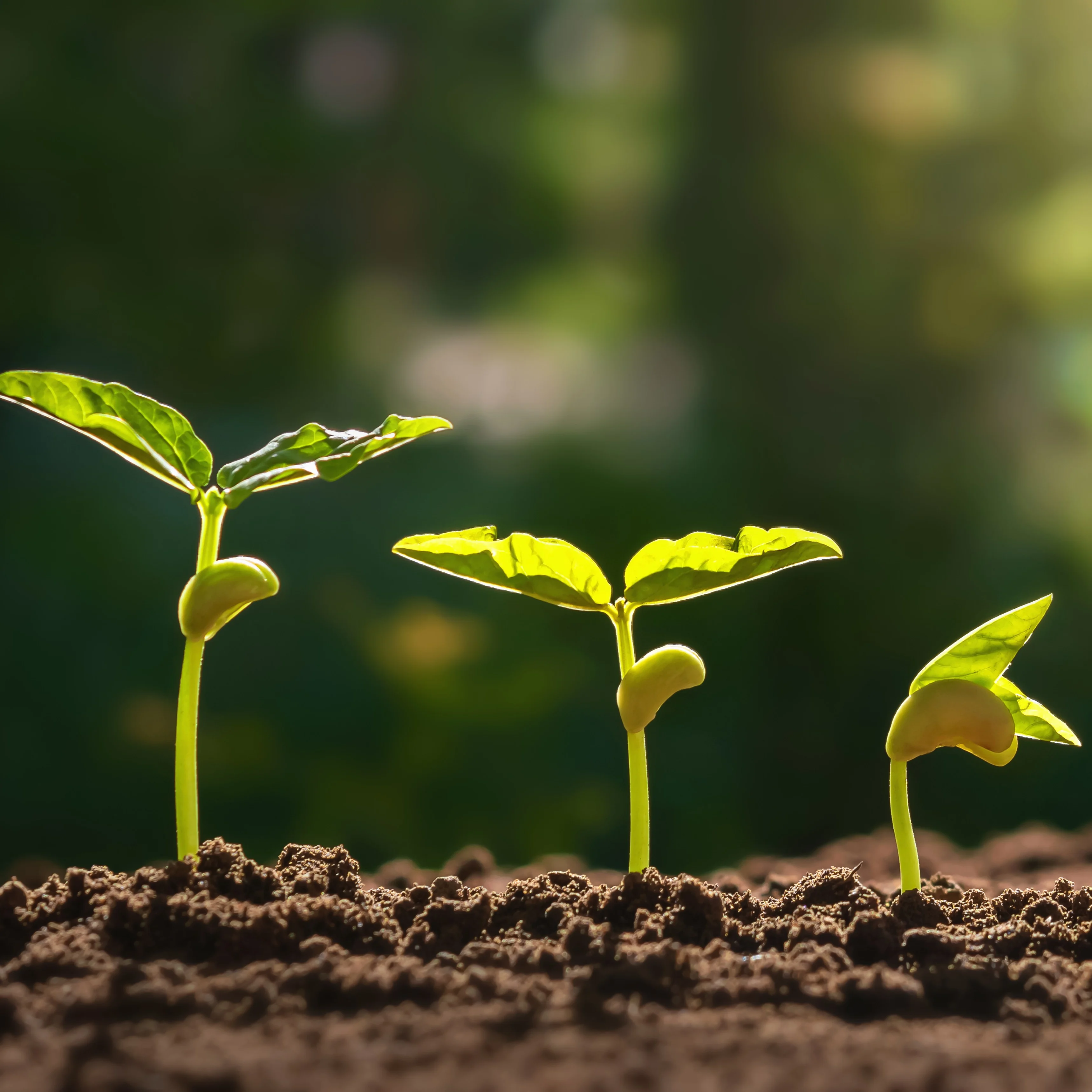
Verification after planting
Survival rate, spacing, number of trees, and presence of grass.
-
Mid-rotation inventory
Growth rate and need for fertilization.
-
Pre-harvest inventory
Estimation of crops two-three months before cutting.
-
Operation management
Optimization of harvesting operations, risk management, and nature conservation.
-
Plan
- Enhance your cost estimations for land preparations
- Facilitate more effective collaboration with contractors with precise data on removable biomass and terrain
- Optimize stand layout, planting density, and road networks for better yields and efficiency
- Improve water flow and irrigation to increase greater plantation growth and productivity
-
Verify
- Confirm plantation density and tree counts against original plans
- Verify survival rates and growth to mitigate damages from early plantation losses
- Detect dead or stressed trees before they impact yield
-
Analyze
- Assess growth performance to identify early deficits and refine fertilization strategies
- Access stand-level and within-stand variation in volume, mean diameter, mean height, and stem count for accurate harvest and mill-gate supply forecasting
-
Optimize
- Understand terrain, topography, and soil moisture across seasons to support better planning, harvesting, and operability
- Coordinate harvesting operations and estimate time and production more accurately
-
Add-ons
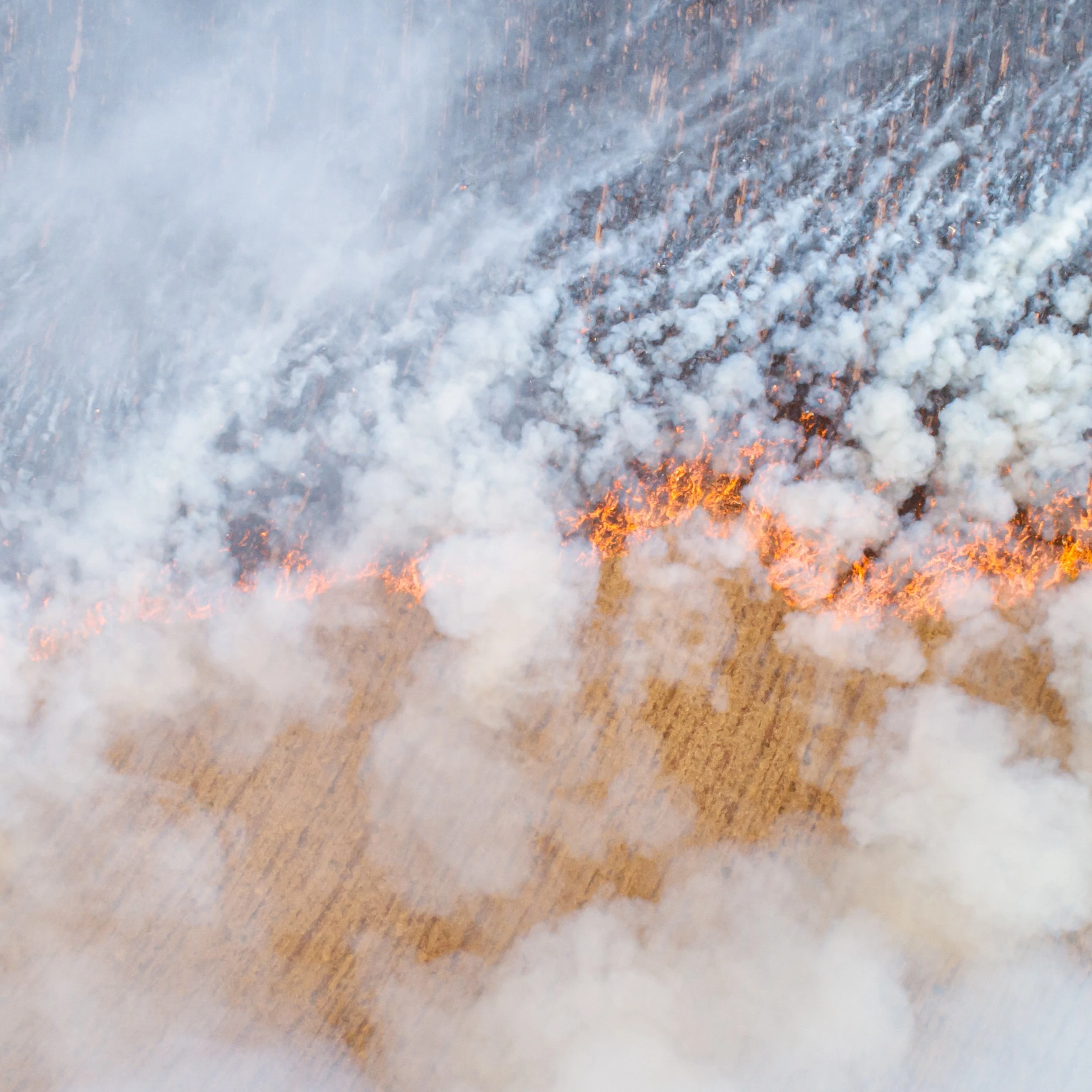
- Predict, prevent, and plan for forest fires using fire-risk modeling, fuel mapping, and spread simulations
- Assess biodiversity, plantation health, conservation value, and carbon stocks for certification, VCS carbon projects, and sustainability reporting (relating to the natural forest of the land)
- Consolidate your data in Arbonaut’s ProMS or take advantage of our custom QGIS-based solutions
Time to Plan Your Next Plantation Cycle?
Get answers, timelines, and accuracy expectations for your plantation operations.
Frequently Asked Questions
Accuracy depends on the LiDAR point density, tree form, and stand uniformity. Our models are calibrated for intensively managed species like eucalyptus, delivering high empirical accuracy, suitable for rotation planning and mill‑gate forecasting.
Yes. All deliverables are provided in GIS formats compatible with tools like ArcGIS, QGIS, and forestry management systems. Outputs can also be connected with Arbonaut’s ProMS platform for centralized asset management.
LiDAR offers full-coverage measurement, allowing for more consistent results across stands, fewer blind spots, and better modeling of within-stand variation. It also reduces field labor and increases repeatability across inventory cycles.
Yes. Beyond plantation yield and growth assessments, LiDAR supports a wide range of forest and land management applications. Whether you need reliable data for operations, biodiversity, plantation health, conservation value, and carbon stocks for certification and VCS projects, Arbonaut can deliver accurate results for your needs.
We recommend refreshing inventories every 1-3 years, depending on species growth and rotation planning needs. Fast-growing species may benefit from more frequent cycles.
 Cookie Policy