arbonaut arbonaut
  • About
    • Our company
    • Management & Organization
    • Careers
  • Services
    • Forest Ecosystem Inventories
    • Forest Operations
    • Forest Resilience & Carbon
    • Software Solutions
  • Customer Cases
  • News & Events
  • Contact
arbonaut arbonaut
  • About
    • Our company
    • Management & Organization
    • Careers
  • Services
    • Forest Ecosystem Inventories
    • Forest Operations
    • Forest Resilience & Carbon
    • Software Solutions
  • Customer Cases
  • News & Events
  • Contact

Forest Ecosystem Inventories

Reliable Forest Data for Effective Multi-Functional Management

icon
LiDAR-based forest inventories

LiDAR Inventories

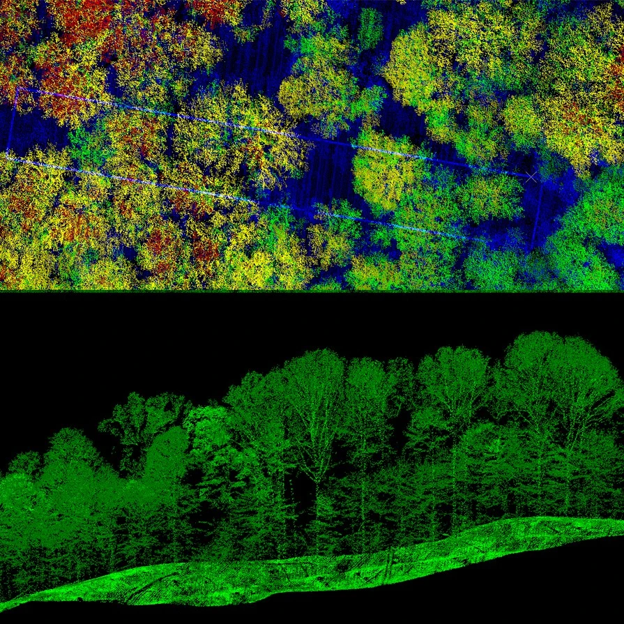
As a global leader in LiDAR-based surveys, Arbonaut designed a highly accurate and cost-efficient method that integrates LiDAR data with satellite and other optical imagery and field measurements. This approach provides you with detailed and accurate representation of forests and vegetation, supporting informed decision-making.

Get a reliable and cost-effective view of your forest’s ecosystem

Minimize the need for extensive field work, saving time and resources while still obtaining accurate, actionable data

Eliminate subjective human errors and get constant quality inventories over large areas

Arbonaut successfully completed LiDAR inventories for over 30 million hectares of forests worldwide, from tropical plantations to boreal forests

Accurate inventory of your forest assets

for better, smarter decisions and, in many cases, increased forest value

Area-based forest inventories

Area-Based Inventory

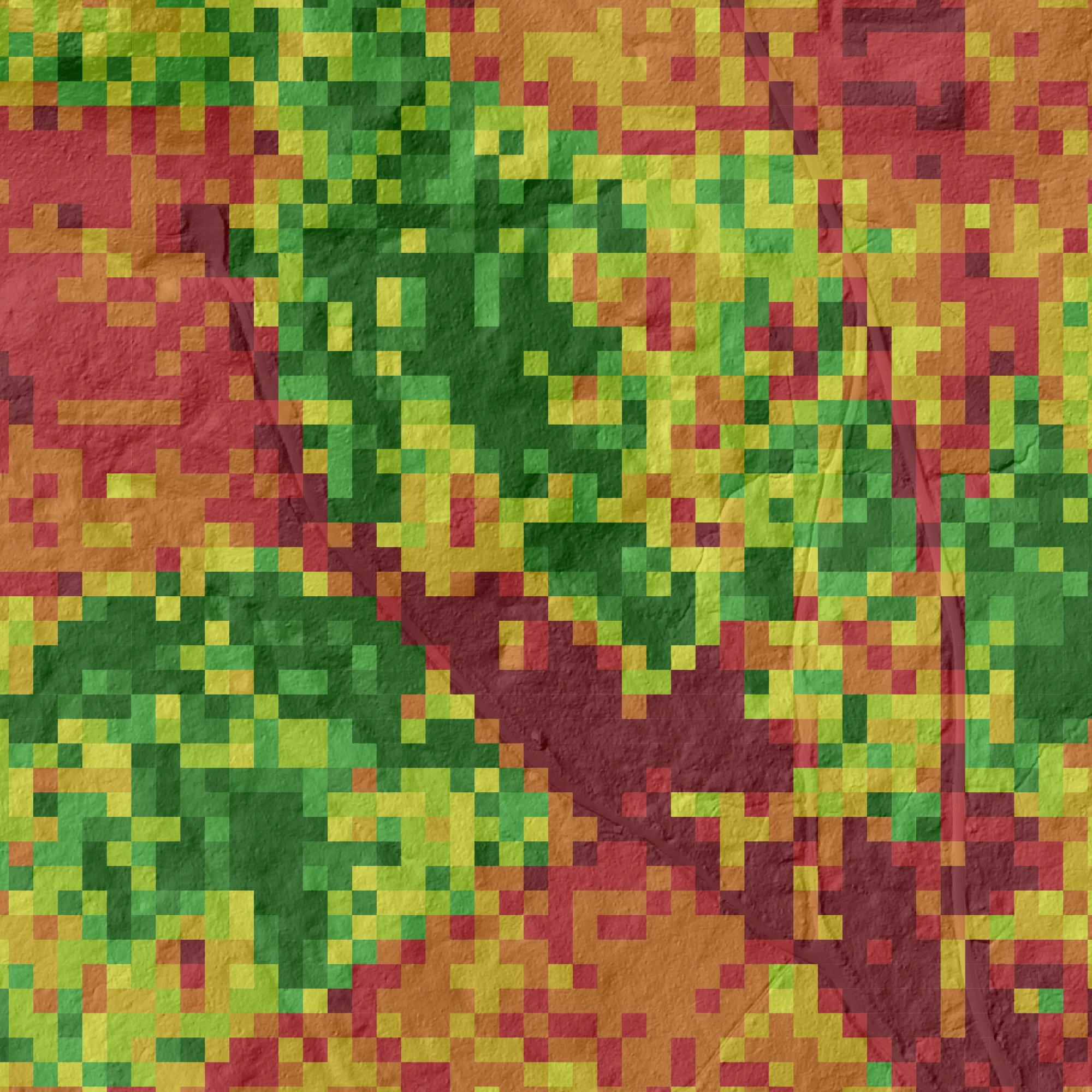
Arbonaut’s area-based inventories with 20 years of experience deliver insights in micro-stand level on timber volume, species distribution, and forest health. It is scalable and cost-effective solution.
Forest inventory results at tree-level

Tree-Level Inventory

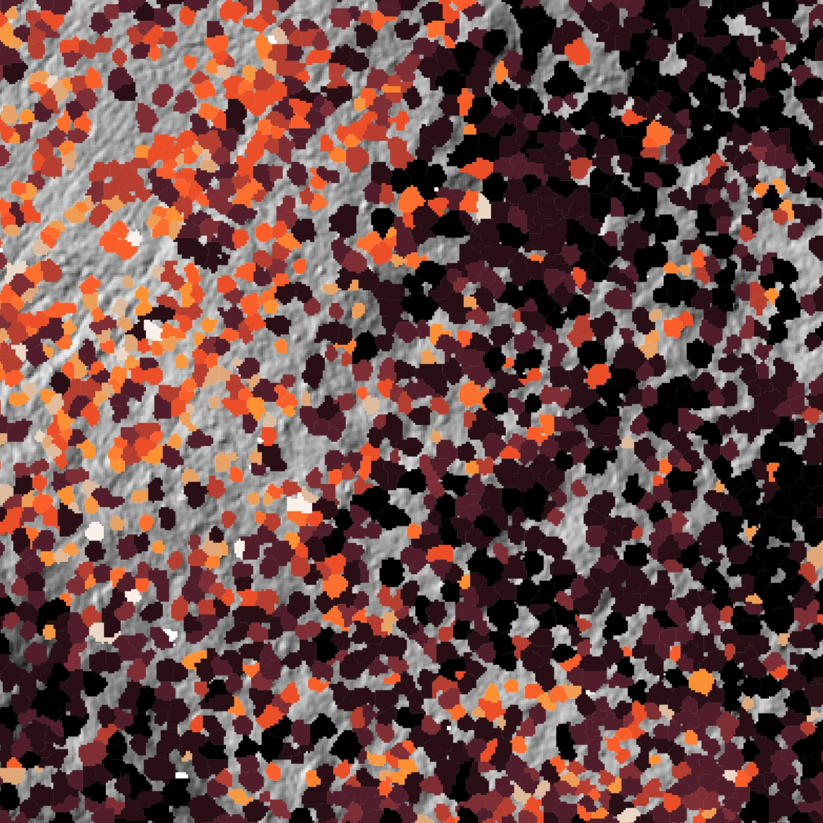
Arbonaut’s tree-level inventory detects and analyzes individual trees. This targeted method optimizes value of every stem with detailed data on species, height, diameter, and health.
Precision forest inventory products

Inventory Products

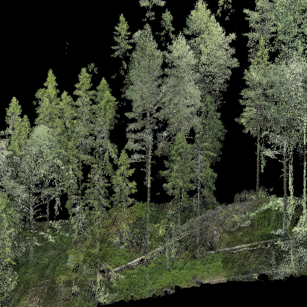
Forests are more than trees and volumes. We create an insight of forests as a resource, their growth potential, and biodiversity values.

Data Collection from Every Angle

  • Experts
    For collecting field reference and validation data
    Ground
  • Drone for data collection
    Drones
    Precision mapping over small areas. Cost-efficient but not scalable
    Ground
  • Harvester for data collection
    Harvesters
    For continuous, accurate reference data collection
    Ground
  • Helicopters
    Effective in mountainous terrain and scattered areas
    Airborne
  • Airplanes
    Cost-effective mapping of large areas with LiDAR and aerial imagery
    Airborne
  • Satellites
    Near real-time data collection of large areas
    Monitoring

Ready to transform your forest management?

Arbonaut’s highly precise information leads to better, smarter decisions and, in many cases, increased forest value. Reach out to our team to learn more!

 
Arbonaut's logo

Intelligence for Precision Forestry

About

  • Our company
  • Management & Organization
  • Careers

Services

  • Forest Ecosystem Inventories
  • Forest Operations
  • Forest Resilience & Carbon
  • Software Solutions
  • Customer Cases

  • News & Events

  • Contact

Connect with us

  • “follow Arbonaut on Facebook
  • “follow Arbonaut on Linkedin
  • “follow Arbonaut on YouTube
N 62°36’50” E 29°44’25”
©2025 Arbonaut all rights reserved
  • Cookie settings
  • Privacy policy