Forest Operations
Transitioning Forest Management Planning and Operations from Field to the Office
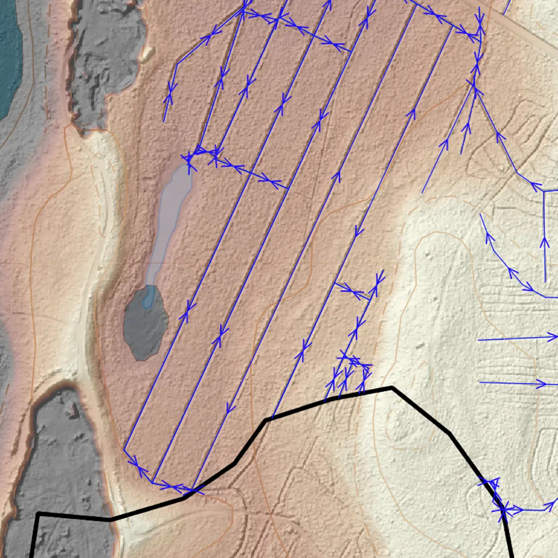
Worksite planning
Arbonaut helps maximize efficiency and reduce costs by transitioning planning to the office. Our data-driven insights automate worksite prioritization, saving hours in planning and optimizing resource use. By improving productivity and workforce performance, we support the long-term value and resilience of your forest assets.
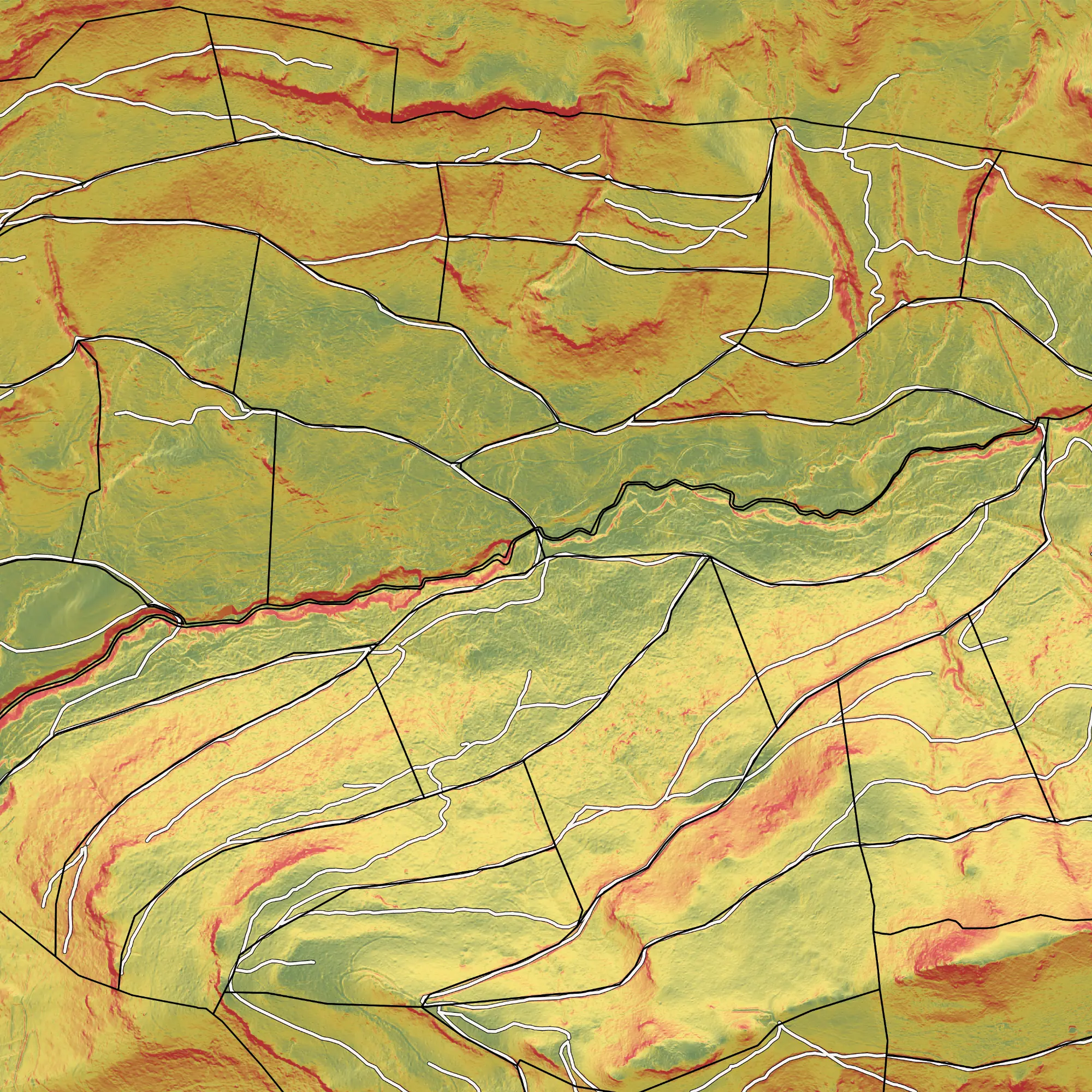
Operating Conditions
Forest operations depend on more than just trees. Factors like topography, seasonal operability, drivability, visibility, wetness, as well as tending and thinning needs can all impact productivity. Traditionally, collecting the data requires fieldwork, but now you can plan operations digitally with high-accuracy data, saving resources and increasing efficiency.
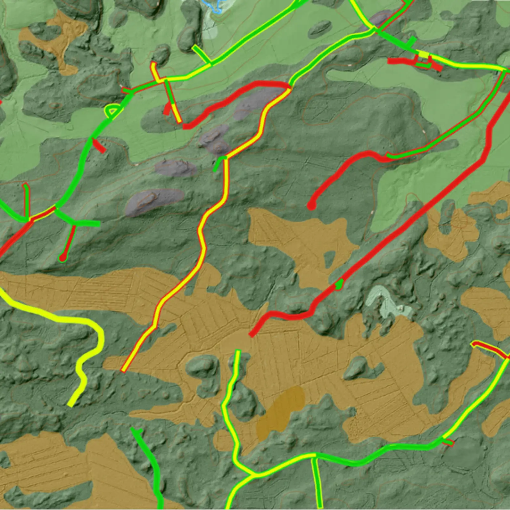
Forest Road Management
Access to forest resources directly impacts their value. While traditional road condition assessments rely on manual field inspections, Arbonaut leverages LiDAR technology to provide comprehensive road condition analysis, including surface conditions, structural integrity, and maintenance needs. Our approach focuses on supporting accessibility and decision-making, reduced fieldwork costs, and improved road network sustainability.
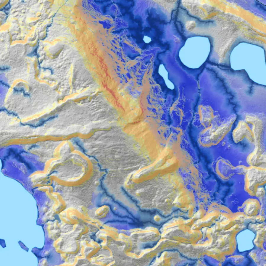
Hydrological Connectivity Analysis
Arbonaut provides remote sensing-based solutions for understanding water flow within watershed and forest drainage networks. Our proprietary technology enables precise mapping of areas to integrate water management with ongoing forest operations. With our hydrological connectivity model, you can analyze water flow volumes and plan maintenance or restoration efforts from your office for improved water quality.
Intelligence for Precision Forestry
Connect with us


N 62°36’50” E 29°44’25”