LiDAR Inventories
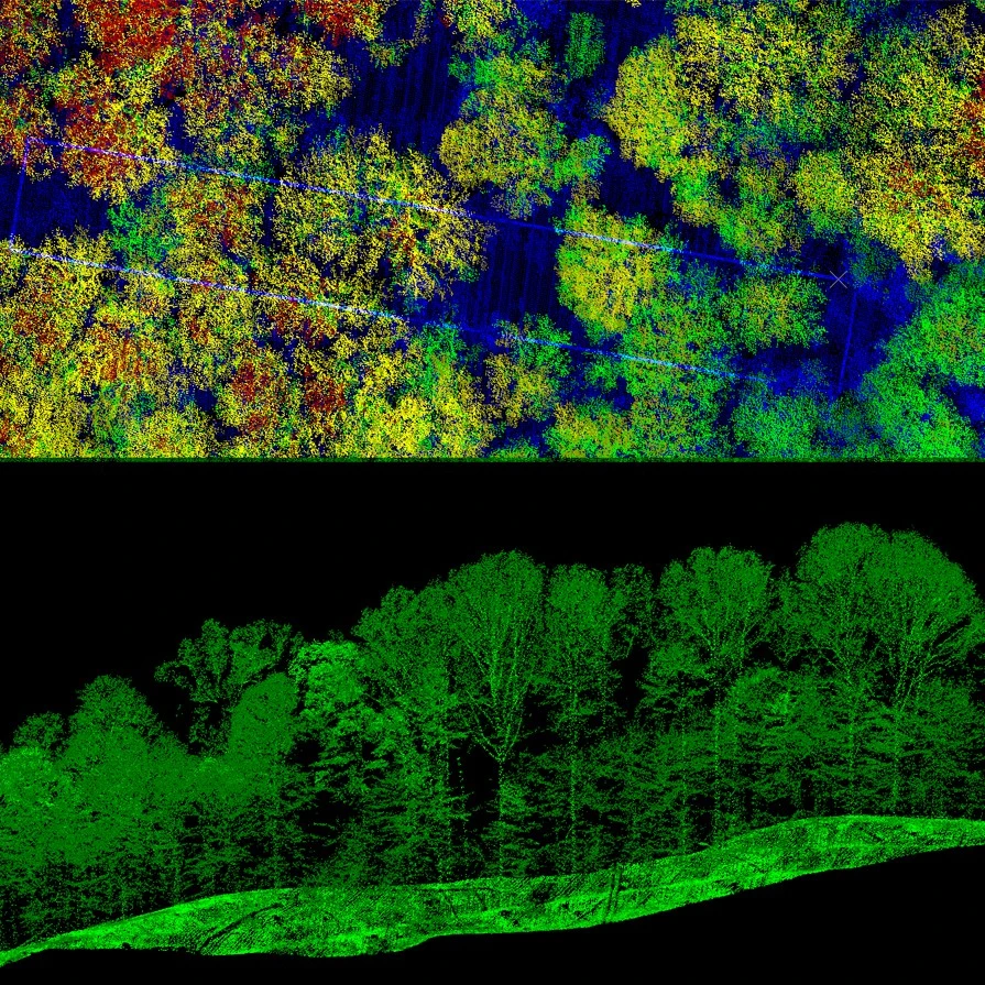
As a global leader in LiDAR-based surveys, Arbonaut designed a highly accurate and cost-efficient method that integrates LiDAR data with satellite and other optical imagery and field measurements. This approach provides you with detailed and accurate representation of forests and vegetation, supporting informed decision-making.
Get a reliable and cost-effective view of your forest’s ecosystem
Minimize the need for extensive field work, saving time and resources while still obtaining accurate, actionable data
Eliminate subjective human errors and get constant quality inventories over large areas
Arbonaut successfully completed LiDAR inventories for over 30 million hectares of forests worldwide, from plantations to boreal forests
Our approach will be adapted to your specific needs, ensuring the methods we use are perfectly aligned with your goals
Accurate inventory of your forest assets
Forests are more than trees and volumes. We create an insight of forests as a resource, their growth potential, and biodiversity values

Area-Based Inventory
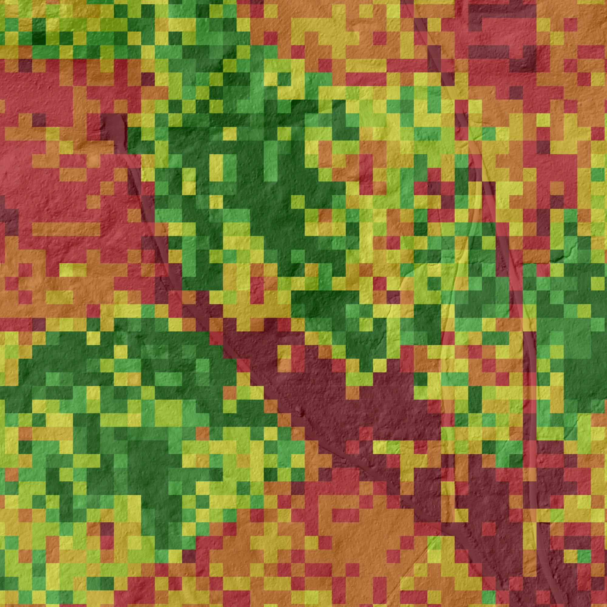
Arbonaut’s area-based inventories with 20 years of experience deliver insights in micro-stand level on timber volume, species distribution, and forest health. It is scalable and cost-effective solution.

Tree-Level Inventory
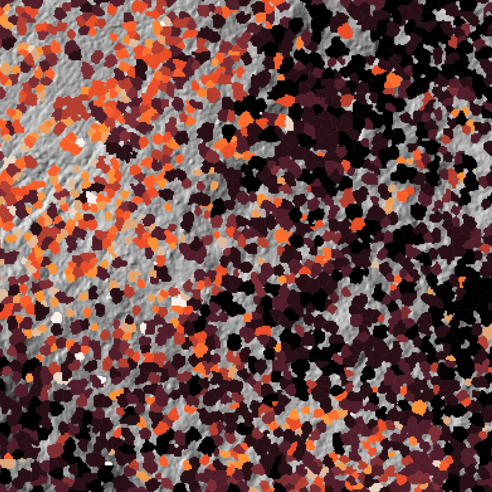
Arbonaut’s tree-level inventory detects and analyzes individual trees. This targeted method optimizes value of every stem with detailed data on species, height, diameter, and health.

Hyper-Resolution Inventory
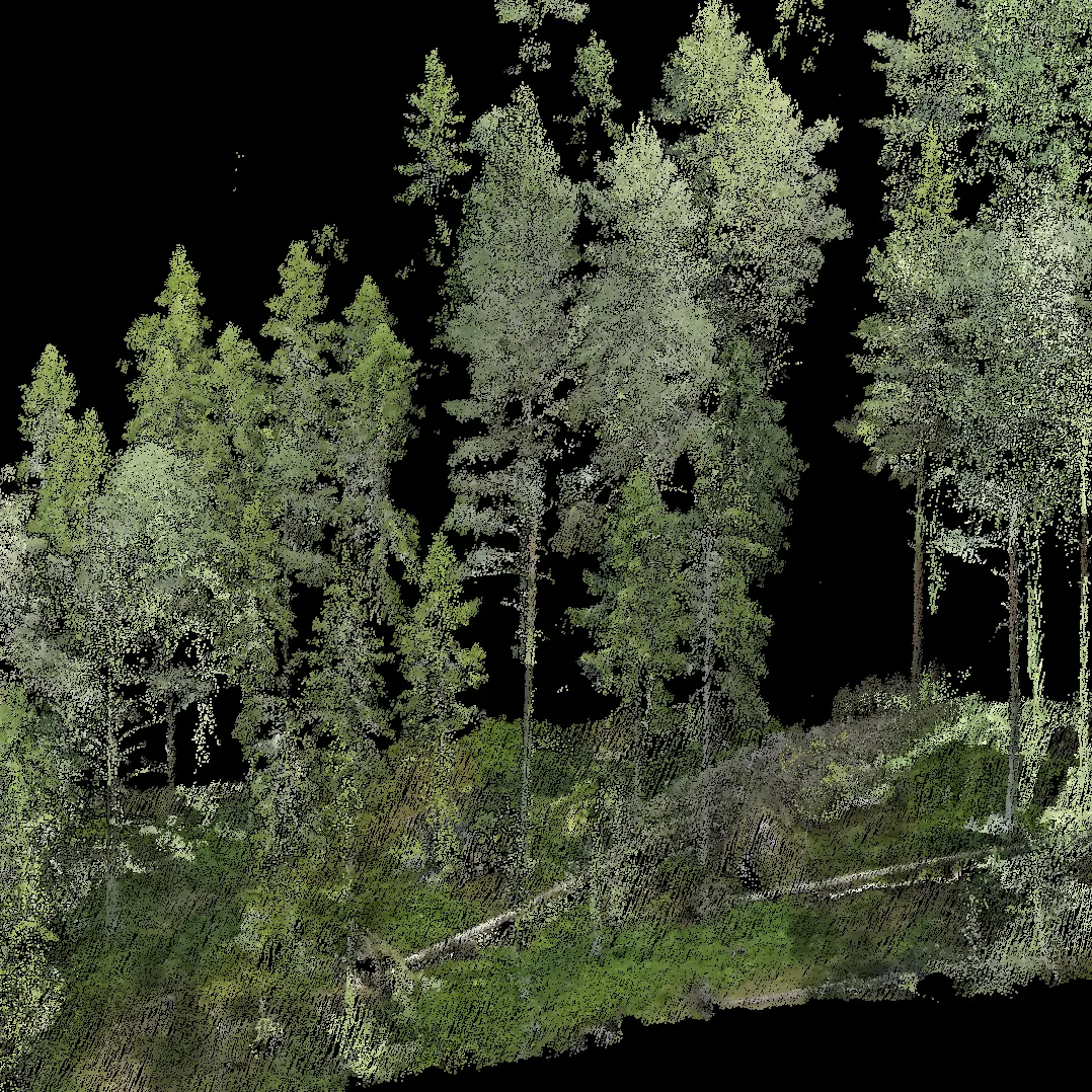
Arbonaut’s hyper-resolution inventories set a new standard in precision forestry, delivering exceptional accuracy and enabling fully remote fieldwork without ever setting foot in the forest.
Data Collection from Every Angle
We rely on our international partners to gather data from all key sources
-
ExpertsFor collecting field reference and validation dataGround
-
DronesPrecision mapping over small areas. Cost-efficient but not scalableGround
-
HarvestersFor continuous, accurate reference data collectionGround
-
HelicoptersEffective in mountainous terrain and scattered areasAirborne
-
AirplanesCost-effective mapping of large areas with LiDAR and aerial imageryAirborne
-
SatellitesNear real-time data collection of large areasMonitoring


