Forest Resilience & Carbon
Forest Fire Risk and Carbon Assessments, Biodiversity, REDD+, and Land Use Monitoring
Forest Fire Risk Assessment & Modelling
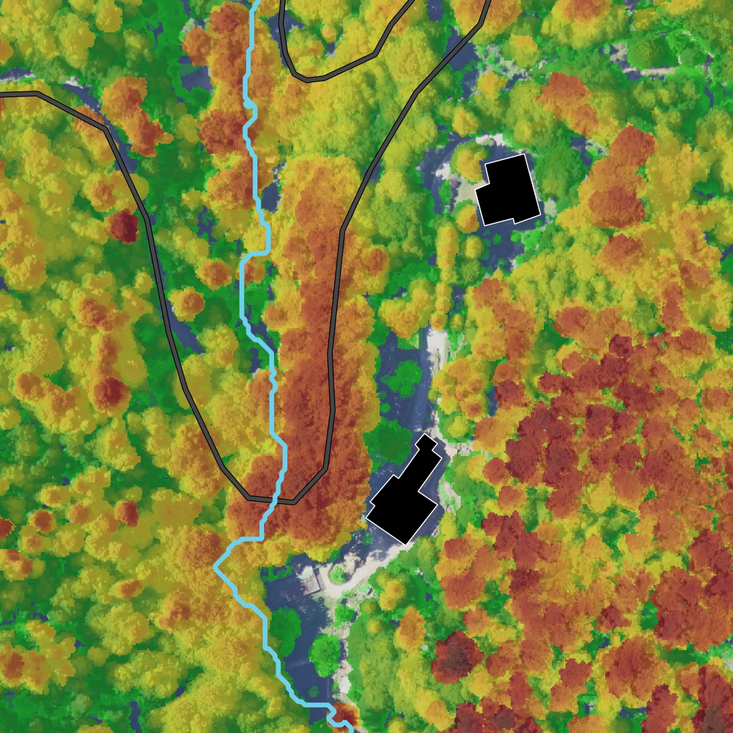
Effective forest fire prevention and response require reliable data and situational awareness, whether in vast forests or Wildland-Urban Interface (WUI) areas. Our LiDAR-based analysis identifies high-risk zones by evaluating critical parameters of fire fuels, terrain, infrastructure, and resources. Beyond strengthening preventive efforts, advanced risk assessments support strategic suppression tactics.
Forest Health Monitoring and Early Detection of Threats
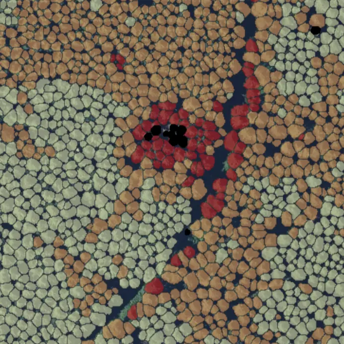
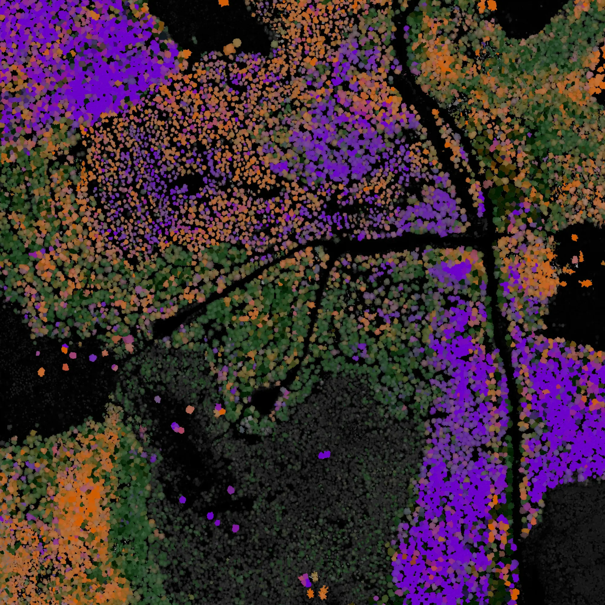
Arbonaut offers detailed analysis of forest growth conditions and deadwood presence to evaluate risks of forest asset loss due to climate-driven events and insect outbreaks. This approach helps prevent the spread of bark beetle infestations and allows for the identification of stressed trees and areas, enabling timely preventive sylvicultural actions. Mapped dead trees not only highlight risk areas but also serve as important indicators for biodiversity.
Technical Solutions for Carbon Projects and REDD+
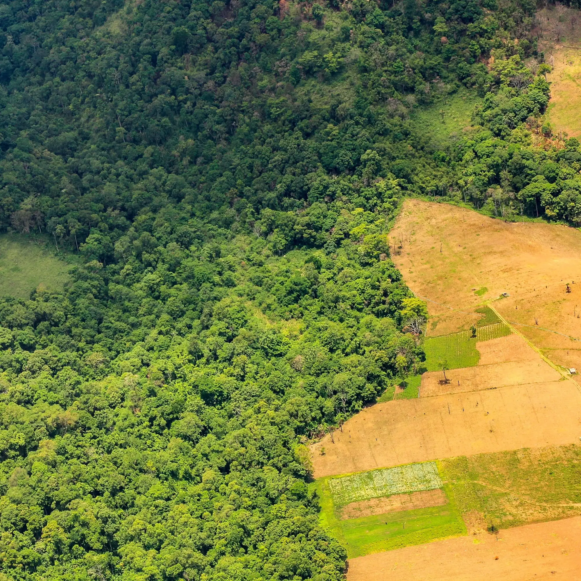
Arbonaut supports carbon project developers and governments with advanced technologies to plan, implement and monitor projects while ensuring compliance with REDD+ initiatives, VCS, and other international carbon market standards. We specialize in land use and cover mapping at multiple scales, AI-driven terrestrial carbon stocks, and the development of MRV systems.
Monitoring of land cover change, forest biomass and reporting of greenhouse gas emissions/removals
Developed in alignment with IPCC best practices and guidelines
Enables proactive interventions to prevent deforestation and forest degradation in near real-time
Long-standing collaboration with national stakeholders with 15 years of experience and over 20 projects
Accurate baseline estimations to unlock funding opportunities
Ensuring transparency with public access for accountability and credibility
Tree-Level Carbon Assessment
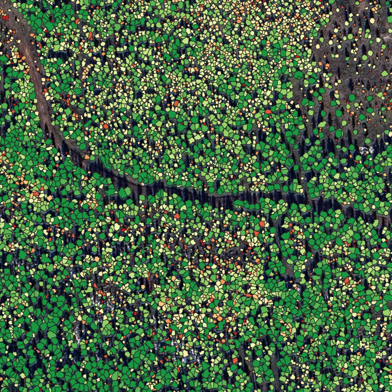
LiDAR-based analysis ensures high-accuracy carbon stock estimation and monitoring, offering a dynamic tree-level mapping that takes forest operations into account. This approach increases accountability and transparency in reporting. Additionally, the LiDAR data can be leveraged for various value-added applications across different areas of forest management.
Biodiversity Mapping
Arbonaut invested significant effort in developing biodiversity indicators to identify key areas for effective management. Leveraging LiDAR data, spectral sensors, and background maps, we deliver solutions that balance biodiversity conservation with economically sound management, supporting your operations for long-term success.
Intelligence for Precision Forestry
Connect with us


N 62°36’50” E 29°44’25”